Mapping American Volcanism: Why Location Dictates Volcanic Threat
When students consult an American volcanoes map, they are frequently surprised to learn that the United States is one of the most volcanically active countries on Earth. According to the United States Geological Survey (USGS), there are 169 potentially active volcanoes across US territories, spanning the Pacific Northwest, Alaska, Hawaii, California, and Wyoming.
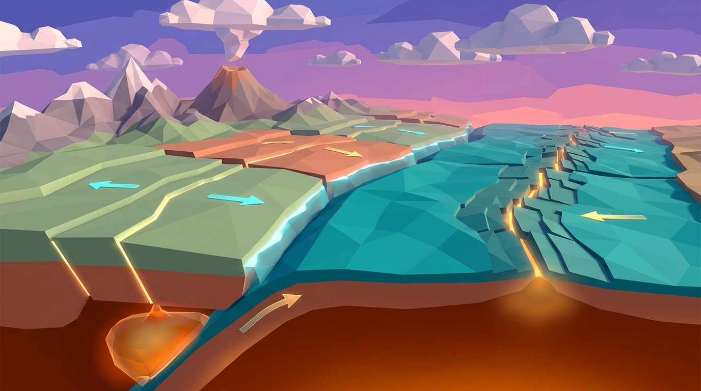
However, these volcanoes are not distributed randomly across the landscape. You will not find active volcanoes in Kansas, Florida, or New York. Volcanism strictly tracks plate tectonic boundaries and deep intraplate mantle plumes. By studying an American volcanoes map, students uncover the subterranean tectonic forces governing our continent.
When I built the geographic mapping system for Volcano Island, I wanted learners to interact with real USGS hazard data. Plotting volcanic vents against active plate boundaries helps students immediately see that volcanoes are natural release valves for planetary heat.
The Four Major Volcanic Provinces of the United States
A rigorous American volcanoes map categorizes US volcanic systems into four distinct geological provinces, each characterized by unique magma chemistry and eruption dynamics:
1. The Cascade Volcanic Arc (Washington, Oregon, Northern California). Stretching from British Columbia down to Lassen Peak in California, the Cascades form a continental subduction arc. The dense oceanic Juan de Fuca Plate subducts beneath the North American Plate, releasing water into the mantle wedge. This flux melting generates dangerous, explosive stratovolcanoes including Mount St. Helens, Mount Rainier, and Mount Hood.
2. The Aleutian Arc (Alaska and the Aleutian Islands). Alaska is home to more than 80 active volcanic centers, constituting over half of all US volcanoes. Here, the Pacific Plate subducts beneath the North American Plate along the Aleutian Trench, producing frequent explosive eruptions that disrupt international trans-Pacific aviation routes.
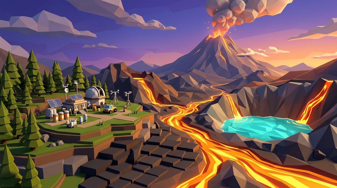
3. The Hawaiian Hotspot Shield Volcanoes (Hawaii). Situated in the middle of the Pacific Plate far from any plate boundary, the Hawaiian Islands are powered by a stationary mantle plume. Low-viscosity basaltic lava builds massive, gently sloping shield volcanoes such as Mauna Loa and Kilauea.
4. The Yellowstone Continental Supervolcano (Wyoming, Idaho, Montana). Yellowstone represents a continental hotspot where a deep mantle plume burns through thick granitic continental crust, creating a vast resurgent caldera with explosive rhyolitic potential and active hydrothermal geysers.
The USGS ranks Mount Rainier in Washington as one of the highest threat volcanoes due to its massive glacial ice cap, which could melt during an eruption to trigger destructive volcanic mudflows (lahars) inundating populated river valleys.
USGS Volcanic Threat Matrix: How Scientists Rank Hazards
The USGS Volcano Hazards Program evaluates US volcanoes using a comprehensive threat assessment matrix. This framework balances two critical variables: volcanic hazard (the volcano's physical explosivity, eruption frequency, and magma chemistry) and population exposure (nearby communities, aviation corridors, and critical water infrastructure).
Volcanoes with extremely hazardous rhyolitic magma located in remote wilderness areas receive lower overall threat scores than moderately active volcanoes situated immediately upwind of major metropolitan centers.
Through continuous seismic monitoring, satellite GPS ground deformation tracking, and volcanic gas emissions sampling, volcanologists provide early warnings that allow communities to evacuate days or weeks before catastrophic eruptions occur.
3D Volcanology & Plate Lab
Inspect North American tectonic boundary maps in full 3D. Trace subduction trenches along Cascadia and Alaska and model magma ascent beneath active US stratovolcanoes.
Teaching this topic tomorrow? Download the Free NGSS Student Lab Sheet (Printable PDF)
Get the complete printable US volcanic hazard mapping guide, threat matrix sheets, and NGSS MS-ESS2-2 evaluation rubrics in a single PDF.
US Volcanic Provinces Compared: Tectonics, Eruption Style, and Risk
To provide students with a clear comparative overview, the table below contrasts the four major American volcanic provinces based on tectonic setting, magma type, and primary hazards:
| Volcanic Province | Tectonic Setting | Dominant Magma Chemistry | Typical Eruption Style | Primary Hazard to Humans | Key Benchmark Volcanoes |
|---|---|---|---|---|---|
| Cascade Volcanic Arc | Oceanic: Continental Subduction (Cascadia) | Intermediate Andesite to Dacite (60% to 68% SiO2) | Catastrophic Explosive (VEI 4 to 6) | Lahars, pyroclastic flows, ashfall | Mount St. Helens, Mount Rainier, Mount Shasta |
| Aleutian Volcanic Arc | Oceanic: Oceanic Subduction (Aleutian Trench) | Basaltic to Andesitic (52% to 62% SiO2) | Frequent Explosive Eruptions | Aviation jet engine ash ingestion | Mount Redoubt, Shishaldin, Pavlof |
| Hawaiian Hotspot | Intraplate Oceanic Mantle Plume | Mafic Basalt (45% to 52% SiO2) | Effusive Lava Fountains & Rivers | Lava inundation of property, vog gases | Kilauea, Mauna Loa, Mauna Kea |
| Yellowstone Hotspot | Intraplate Continental Mantle Plume | Felsic Rhyolite (>70% SiO2) | Cataclysmic Caldera Collapse (VEI 7 to 8) | Continental ash blankets, climate cooling | Yellowstone Caldera, Valles Caldera |
Classroom Simulation Protocol: 4 Steps to Analyze US Volcano Hazards
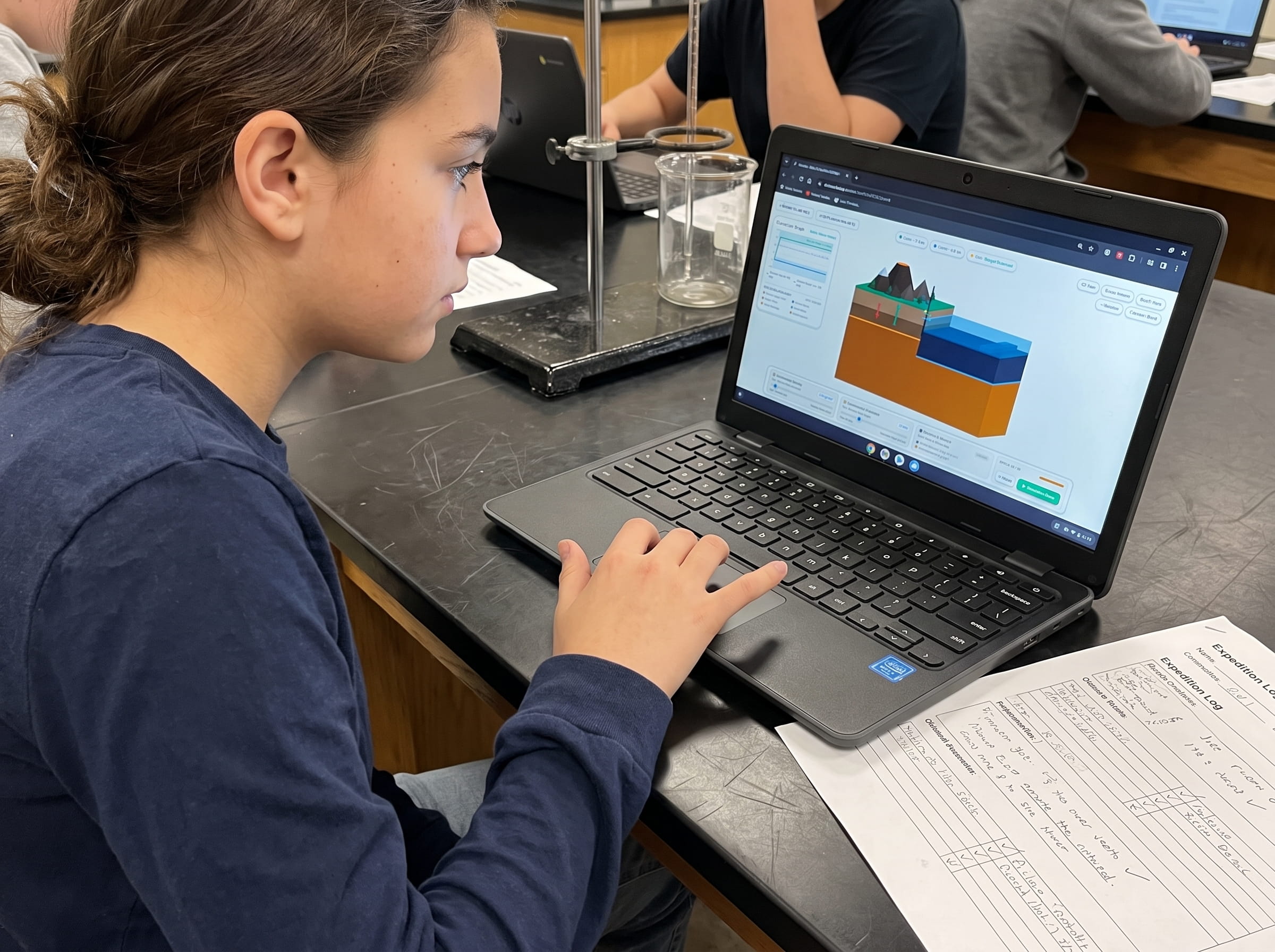
Educators can guide middle school or high school earth science students through this 4-step digital mapping lab using Volcano Island:
Overlay US Volcano Coordinates on Plate Boundaries
Open Volcano Island Level 01. Enable the geospatial coordinates overlay. Notice how active volcanic vents align strictly along the western edge of the continent and Alaska, matching subduction trenches.
Compare Magma Viscosity Across Regions
Select Mount St. Helens in the Cascades and compare its high-silica dacite against Kilauea's low-silica basalt. Note how viscous magma traps volcanic gases, generating explosive ash clouds rather than gentle lava streams.
Simulate a Lahar Drainage Scenario
Select Mount Rainier and simulate a moderate thermal pulse beneath its glacial summit. Watch melted ice mix with volcanic ash to form fast-moving mudflows rushing down river valleys toward Puget Sound.
Evaluate Volcanic Monitoring Systems
Inspect the digital seismometer and tiltmeter feeds around the simulated volcano. Notice how harmonic tremors and ground inflation accelerate prior to vent clearing, illustrating early warning science.
Living in the Shadow of American Volcanoes: Resilience and Preparation
Understanding volcanic geography is not merely an academic exercise; it is an urgent public safety priority for millions of Americans living in Washington, Oregon, California, Alaska, and Hawaii.
Modern civil defense planning involves creating detailed hazard evacuation maps, establishing automated river acoustic lahar detectors, and educating the public on ashfall mitigation. By investing in science education and real-time monitoring, communities transform paralyzing geological fear into informed resilience.
Educational research by Ormanci (2026) highlights that teaching hazards through interactive spatial modeling empowers students to understand risk objectively without unnecessary anxiety.
Frequently Asked Questions About American Volcanoes
Here are direct answers to common questions students and educators ask when exploring active volcanoes in the United States.
Which US state has the most active volcanoes?
Could the Yellowstone supervolcano erupt anytime soon?
Why are there no active volcanoes on the East Coast of the United States?
How does 3D simulation help students understand volcanic risk?
Download the Free 24-Page Field Geologist Logbook
Get the complete printable US volcanic hazard mapping guide, threat matrix sheets, and NGSS MS-ESS2-2 evaluation rubrics in a single PDF.