A Scientific Revolution: Understanding Continental Drifting Theory
In 1912, German meteorologist and geophysicist Alfred Wegener presented an astonishing claim that baffled the scientific establishment: our planet's solid continents are not anchored in place. His continental drifting theory proposed that roughly 300 million years ago, all global landmasses were joined into one colossal supercontinent called Pangea, surrounded by a global ocean named Panthalassa.
Over geological epochs, Pangea fractured into northern Laurasia and southern Gondwana, before continuing to separate into the continents we recognize on global maps today. At the time, conventional geologists mocked Wegener because he could not identify a physical mechanism strong enough to plow granite continents through dense oceanic basalt.
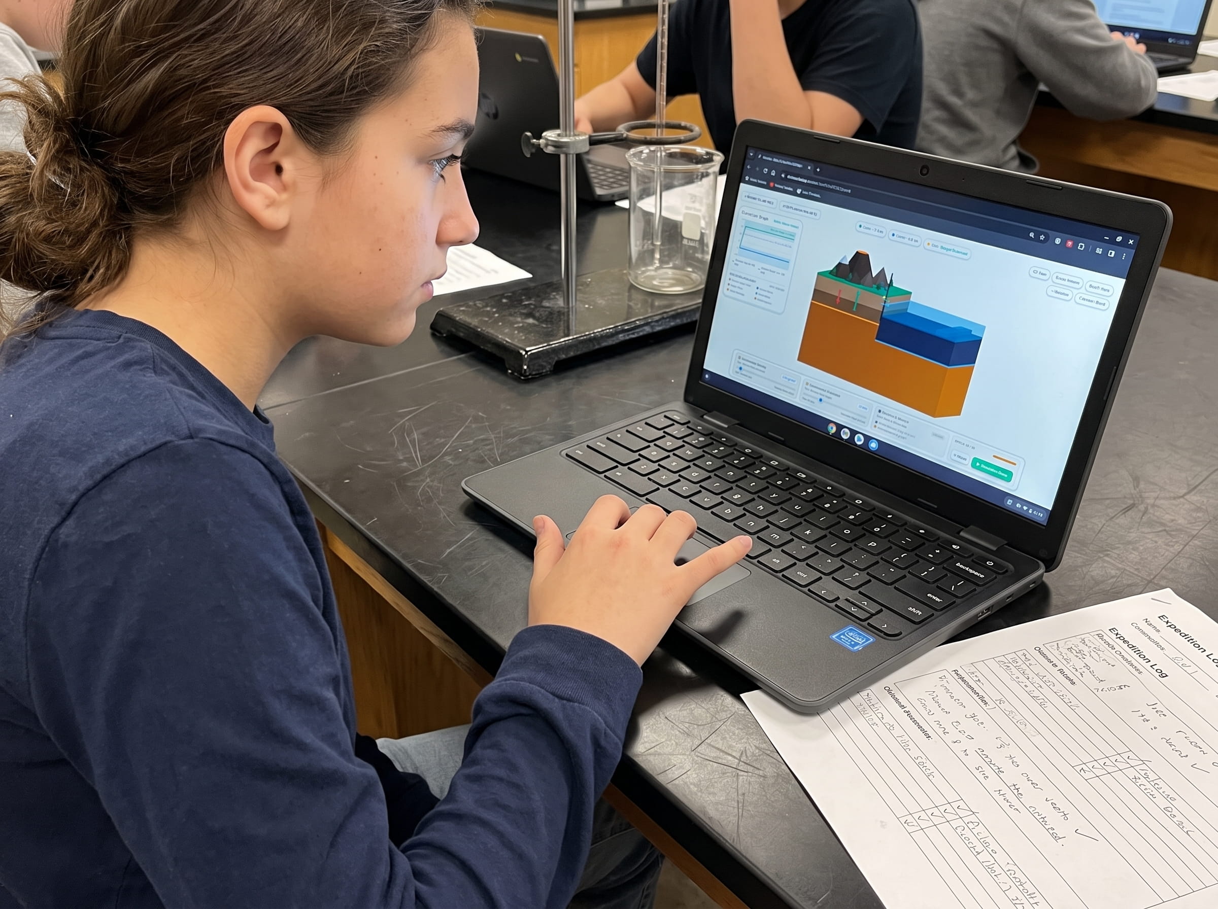
When I built the continental movement engine for Volcano Island, my primary objective was to help students test Wegener's four pillars of evidence interactively. By watching ancient mountain ranges align across ocean basins in real-time 3D, students grasp how revolutionary scientific hypotheses transform into bedrock facts.
The Four Pillars of Evidence: Proving Continental Drifting Theory
Wegener did not merely rely on visual intuition when noticing that South America fits against Africa like puzzle pieces. He synthesized four rigorous, independent lines of physical evidence that anchor NGSS MS-ESS2-3:
1. Continental Shoreline Jigsaw Fit. When geologists map continents at their true continental shelf boundaries (roughly 200 meters below sea level) rather than current coastlines, the Atlantic margins of South America and Africa align with near-flawless geometric precision.
2. Identical Fossil Correlations Across Oceans. Identical fossils of the freshwater aquatic reptile Mesosaurus and the land reptile Cynognathus appear exclusively in southeastern South America and southwestern Africa. Because these organisms could not swim across thousands of miles of open saltwater, the landmasses must have been physically continuous.
3. Matching Rock Formations and Mountain Belts. The Appalachian Mountains of North America terminate abruptly at the Atlantic coast, yet their exact rock strata, structural folds, and age profiles reappear in the Caledonian mountain chain across the British Isles and Scandinavia.
4. Paleoclimatic Glacial Grooves. Glacial striations (deep scratches carved into bedrock by advancing ice sheets) from late Paleozoic glaciers radiate outward across southern South America, southern Africa, India, Australia, and Antarctica: regions that are today tropical or temperate.
Wegener proposed that tidal forces and Earth's spin pushed continents through ocean floors. Because physics easily disproved that mechanism, scientists dismissed his valid observations until seafloor spreading and mantle convection were discovered in the 1960s.
From Continental Drift to Modern Plate Tectonics: The Missing Engine
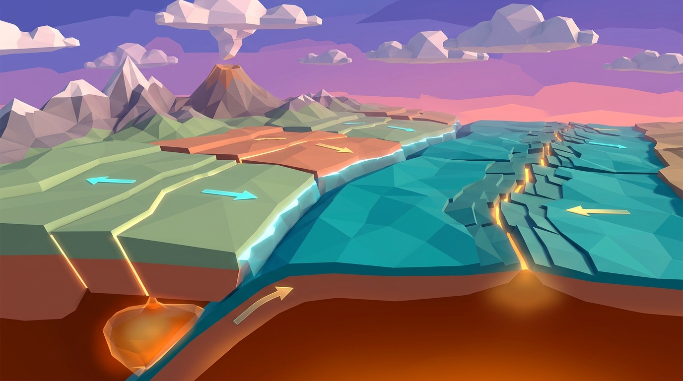
The crucial missing link in continental drifting theory was discovered decades after Wegener's death. In the 1950s and 1960s, Marie Tharp mapped the Atlantic ocean floor, revealing a continuous 65,000-kilometer volcanic ridge bisecting the seabed. Harry Hess followed with his revolutionary seafloor spreading hypothesis: new ocean crust forms continuously at mid-ocean ridges and pushes outward.
Furthermore, magnetometers revealed alternating zebra-stripe bands of normal and reversed magnetic polarity symmetrical to mid-ocean ridges. As basaltic magma cools, iron-rich magnetite minerals align with Earth's magnetic field, creating a permanent magnetic tape recording of seafloor creation.
Today, we understand that continents do not plow through oceanic crust. Instead, continents ride atop rigid lithospheric plates that float atop the semi-fluid asthenosphere, propelled by mantle convection currents and gravitational slab pull at subduction zones.
Tectonic Drift Sandbox
Reconstruct supercontinents and reverse millions of years of plate motion in real time. Manipulate mantle heat flow vectors and watch Pangea fracture into modern continents.
Teaching this topic tomorrow? Download the Free NGSS Student Lab Sheet (Printable PDF)
Get the complete printable continental drift lab journal, fossil puzzle cutouts, and NGSS MS-ESS2-3 rubrics in a single high-resolution PDF.
Evidence Matrix: Comparing Wegener's Observations With Modern Geophysics
To help students master NGSS MS-ESS2-3, the table below compares Alfred Wegener's original 1912 observations against contemporary 21st-century geophysical validation:
| Evidence Category | Wegener's 1912 Observation | Modern Geophysical Proof | Scientific Significance |
|---|---|---|---|
| Geometric Fit | Coastlines of South America and Africa look complementary | Computer mapping at 200m depth shelf fits with <1% error | Confirms landmasses rifted apart from a shared suture |
| Fossil Distribution | Mesosaurus and Glossopteris fern fossils span oceans | Biochemical DNA tracing and identical sedimentation beds | Proves contiguous terrestrial habitats without transoceanic bridges |
| Orogenic Belts | Appalachian and Caledonian mountains share orientation | Zircon isotope radiometric dating matches identically across continents | Proves a single continuous mountain range was severed by rifting |
| Glacial Striations | Ice scratches indicate glaciers moved inland from oceans | Polar wander curves confirm landmasses were clustered at South Pole | Proves equatorial continents once sat in subpolar latitudes |
| Dynamic Movement | Hypothesized slow continuous continental crawling | Direct satellite GPS geodesy tracks plates moving 2 to 10 cm/year | Direct measurement confirms active plate velocities |
Classroom Simulation Protocol: 4 Steps to Model Continental Drift in 3D
Educators and homeschool parents can use this 4-step interactive digital lab protocol to guide students through the history and mechanics of continental drifting theory:
Assemble the Pangea Supercontinent
Open Volcano Island Level 14. Drag South America, Africa, North America, and Eurasia together. Observe how continental shelf outlines lock into a coherent jigsaw puzzle without significant gaps.
Overlay Fossil and Geological Biomes
Toggle the paleontological layer on. Trace the continuous distribution bands of Mesosaurus and Glossopteris across the joined southern continents, demonstrating contiguous ancient biomes.
Activate Asthenospheric Thermal Convection
Turn on mantle thermal plumes beneath the central continental mass. Watch heat accumulation weaken the continental crust, triggering graben rifting and normal faulting along the incipient Atlantic rift.
Track Magnetic Seafloor Striping
Run the simulation forward across 180 million virtual years. Observe basaltic seafloor spreading outward from the Mid-Atlantic Ridge, recording alternating magnetic reversals as continents drift apart.
The Supercontinent Cycle: Will Earth Form Another Pangea?
Continental drifting theory is not an isolated past event: it is an ongoing planetary cycle known as the Wilson Cycle. Every 300 to 500 million years, Earth's continents collide into a single supercontinent and subsequently rift apart again.
Roughly 250 million years into the future, geophysicists project the formation of Pangea Ultima (or Amasia). The Atlantic Ocean basin is expected to develop subduction zones along its margins, eventually closing as the Americas collide with Africa and Europe, building massive new mountain belts.
Educational research by Ormanci (2026) confirms that students who understand continental drift as a continuous dynamic cycle retain plate tectonic concepts significantly longer than those who memorize static geographic maps.
Frequently Asked Questions About Continental Drifting Theory
Below are clear, curriculum-aligned answers to frequently asked student and educator questions about continental drift.
How fast do continents drift today?
Why was Alfred Wegener's theory rejected during his lifetime?
What is the difference between continental drift and plate tectonics?
How does 3D simulation help students learn continental drift?
Download the Free 24-Page Field Geologist Logbook
Get the complete printable continental drift lab journal, fossil puzzle cutouts, and NGSS MS-ESS2-3 rubrics in a single high-resolution PDF.