The Dilemma of Teaching Plate Tectonics in Middle School: Why 2D Arrows Fail
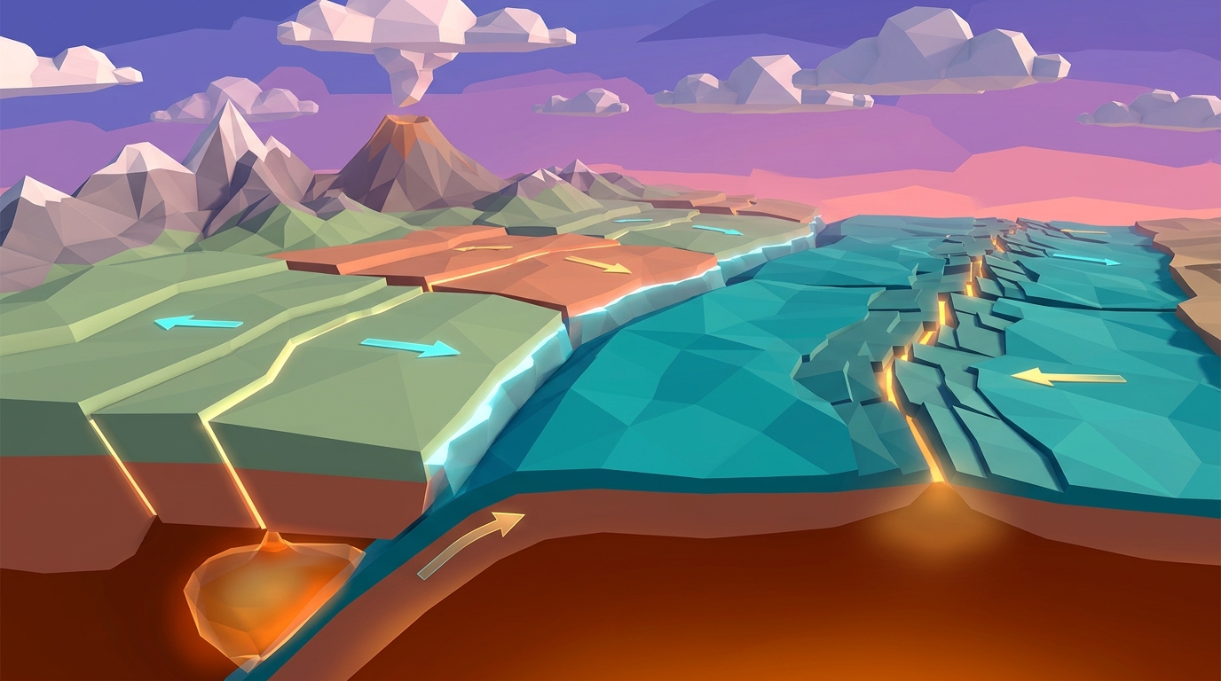
Teaching plate tectonics to middle school students often hits an invisible wall. You hand out diagrams with two-dimensional arrows pointing toward each other, ask students to memorize definitions like subduction and convergent margin, and expect them to visualize colossal planetary forces occurring thousands of miles beneath their feet.
When students only interact with flat arrows on paper, they inevitably develop deep conceptual misconceptions. Over 70 percent of middle schoolers believe tectonic plates float like rafts atop an ocean of boiling liquid red lava. In reality, Earth mantle is solid silicate rock that flows plastically under extreme pressure over millions of years.
To build durable scientific intuition, students need to manipulate the variables themselves. By combining an active 3D geophysics engine with an environmental science intro plate tectonics worksheet, you turn a passive reading lesson into an investigative inquiry laboratory where students observe cause and effect firsthand.
Static 2D diagrams force students to memorize conclusions. Interactive 3D simulations empower students to discover mechanisms through iterative hypothesis testing.
The 45-Minute Modular Lesson Plan Pacing Guide
This 45-minute inquiry lab is engineered for standard middle school class periods and homeschool co-op blocks. It follows the 5E Instructional Model (Engage, Explore, Explain, Elaborate, Evaluate) while eliminating all messy kitchen clean-up.
Here is the step-by-step pacing breakdown designed for maximum student autonomy and rigorous evidence collection:
Minutes 0 to 10: Phenomenon Hook & Prediction
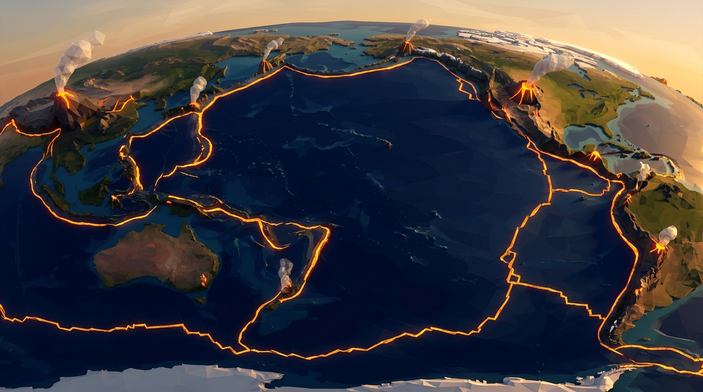
Display an aerial bathymetric map of the Pacific Ocean on your classroom board. Ask students: Why is there an ocean trench 36,000 feet deep located right next to a towering chain of explosive volcanoes? Students record initial hypotheses in their notebooks without teacher correction.
Minutes 10 to 25: 3D Simulation Experimentation
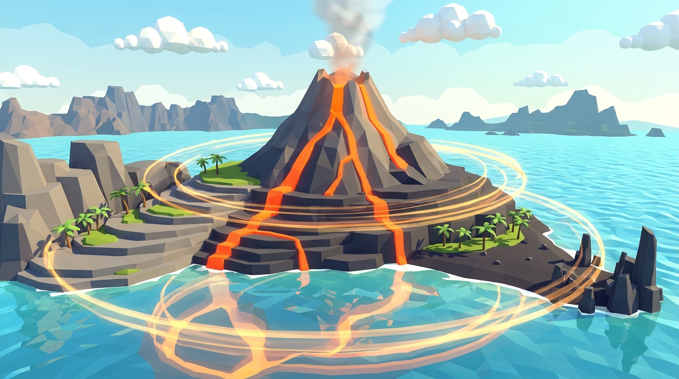
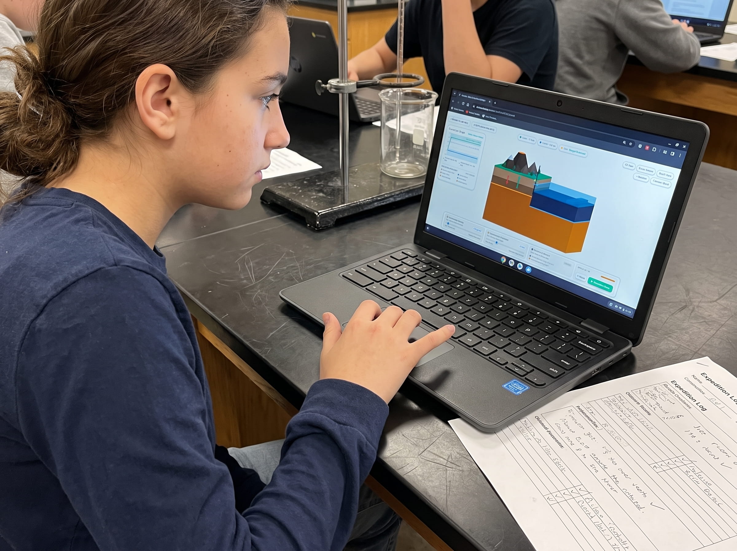
Students open Volcano Island Level 1 on Chromebooks, tablets, or shared screens. Working in pairs, they manipulate mantle temperature gradients from 2,800 K to 3,500 K and observe how convection roll velocity speeds up, pulling the oceanic basalt plate downward.
Minutes 25 to 35: Physical Boundary Mapping Worksheet
Students transition offline to complete the environmental science intro plate tectonics worksheet. They sketch cross-sections of the lithosphere, label the trench and volcanic arc, and calculate density differences between oceanic and continental crust.
Minutes 35 to 45: Claim-Evidence-Reasoning (CER) Debrief
Students synthesize their experimental findings into a formal CER statement: State a claim regarding what forces drive plate motion, cite quantitative simulation data as evidence, and apply thermodynamic principles as scientific reasoning.
The Free Environmental Science Intro Plate Tectonics Worksheet
The printable worksheet acts as the cognitive bridge between dynamic on-screen modeling and offline analytical synthesis. Rather than asking multiple-choice recall questions, it challenges students to categorize real-world boundary interactions based on stress types and crustal density.
Below is the master reference matrix students construct during the lab activity, comparing the three fundamental types of lithospheric boundaries:
| Boundary Type | Relative Motion | Stress Type | Resulting Landforms | Volcanism Present? |
|---|---|---|---|---|
| Focus MissionConvergent (Ocean-Continent) | Plates move toward each other | Compression | Deep Ocean Trench, Volcanic Mountain Arc (e.g., Andes) | Yes (Explosive Stratovolcanoes) |
| Divergent (Ocean-Ocean) | Plates pull apart | Tension | Mid-Ocean Ridge, Rift Valley, Hydrothermal Vents | Yes (Effusive Basaltic Fissures) |
| Transform (Continental) | Plates grind past horizontally | Shear | Fault Scarps, Offset Stream Channels, Linear Valleys | No (Shallow Seismic Ruptures Only) |
| Convergent (Continent-Continent) | Plates collide without subduction | Compression | Non-Volcanic Mountain Belts (e.g., Himalayas) | No (Crust Too Buoyant to Melt) |
Launch Volcano Island Level 1 Free in Browser
Let your students manipulate thermal convection cells, core heat gradients, and oceanic slab pull in real-time 3D. 100% free with zero login or setup.
Teaching this topic tomorrow? Download the Free NGSS Student Lab Sheet (Printable PDF)
Download the complete student companion journal featuring printable fault line maps, viscosity charts, seismograph readings, and NGSS assessment rubrics.
Classroom & Homeschool Differentiation Strategies
Every learning environment has different technology setups and student reading proficiencies. This lesson plan is modular and can be adapted across three distinct instructional formats:
Whole-Class Whiteboard Demonstration: If your classroom has only one projector or interactive screen, run Volcano Island at the front of the room. Invite student volunteers to adjust the mantle heat and plate thickness sliders while the rest of the class predicts outcomes on paper.
1:1 Chromebook or iPad Lab Stations: In 1:1 environments, students work independently or in pairs. Level 1 starts instantly in any modern web browser with zero student login, zero passwords to manage, and zero IT software installation.
Homeschool Co-Op and Family Learning: For homeschool parents teaching multiple age groups simultaneously, younger elementary siblings (grades 3 to 4) can color the physical cross-section diagrams while middle schoolers (grades 6 to 8) calculate slab pull velocity and write full CER paragraphs.
Want the complete student print pack? Download the free 24-page Field Geologist Expedition Logbook, featuring student mission briefs, fault coordinate grids, and grading rubrics.
Download Free 24-Page Logbook (PDF)Formative Assessment & Claim-Evidence-Reasoning (CER) Rubric
Under the Next Generation Science Standards (NGSS), assessment is no longer about checking whether a student memorized a definition. It evaluates whether a student can construct an argument using observable empirical evidence.
Use this four-point CER rubric to assess student worksheets and exit tickets following the 45-minute laboratory:
| Criteria | Developing (1 Pt) | Proficient (2 Pts) | Advanced (3 Pts) |
|---|---|---|---|
| Claim (Core Concept) | States an inaccurate claim or repeats the prompt without identifying the driving force. | Accurately states that mantle convection and slab pull drive plate motion. | States a sophisticated claim linking thermal buoyancy, crustal density, and slab pull gravitational drag. |
| Evidence (Data Collection) | Provides vague statements without numerical or visual evidence from the simulation. | Cites specific simulation observations (e.g., higher heat increased convection roll speed). | Cites precise numerical data comparing plate velocity at varying mantle temperatures and density levels. |
| Reasoning (Scientific Principles) | Fails to connect evidence to physical laws or relies on incorrect circular logic. | Explains that hot rock rises due to lower density and cold dense plates sink into the mantle. | Synthesizes thermal convection, density differentials, and gravitational potential energy into a complete causal chain. |
Frequently Asked Questions on Teaching Middle School Plate Tectonics
Here are the most common questions science educators and homeschool parents ask when implementing this hands-on plate tectonics lesson plan:
Which NGSS performance expectations are covered by this lesson plan?
Do my students need to create accounts or download software to use the simulation?
How do I obtain the free printable plate tectonics worksheets?
How long does this lesson plan take to complete?
Free 24-Page Field Geologist Expedition Logbook (PDF)
Download the complete student companion journal featuring printable fault line maps, viscosity charts, seismograph readings, and NGSS assessment rubrics.