The Ring of Fire Paradox: The 40,000-Kilometer Horseshoe
When students examine a global seismicity map for the first time, they immediately identify a striking pattern: earthquakes and volcanoes are not scattered evenly across Earth. Instead, over 90 percent of all seismic energy release and three-quarters of the planet's active volcanoes are packed into a single, continuous 40,000-kilometer horseshoe encircling the Pacific Ocean.
This colossal belt spans the western coast of South America along the Andes, courses northward through Central America and Mexico, runs along the Pacific Northwest of the United States and Canada, sweeps west across Alaska's Aleutian Trench, descends through Kamchatka and Japan, and branches south across the Philippines, Indonesia, Tonga, and New Zealand.
Popular textbooks often refer to this zone as a "ring of fire," conjuring mental images of a flaming subterranean circle. In geodynamic reality, the belt is neither a complete circle nor an anomalously hot region of Earth. The southern border of the Pacific basin against Antarctica is dominated by spreading ridges and transform faults rather than subduction. Furthermore, the volcanism of the Ring of Fire is not driven by extreme heat rising from below; it is driven by the steady gravitational plunge of cold, water-saturated oceanic lithosphere sinking into the mantle.
The Oceanic Conveyor Belt: How Circum-Pacific Subduction Works
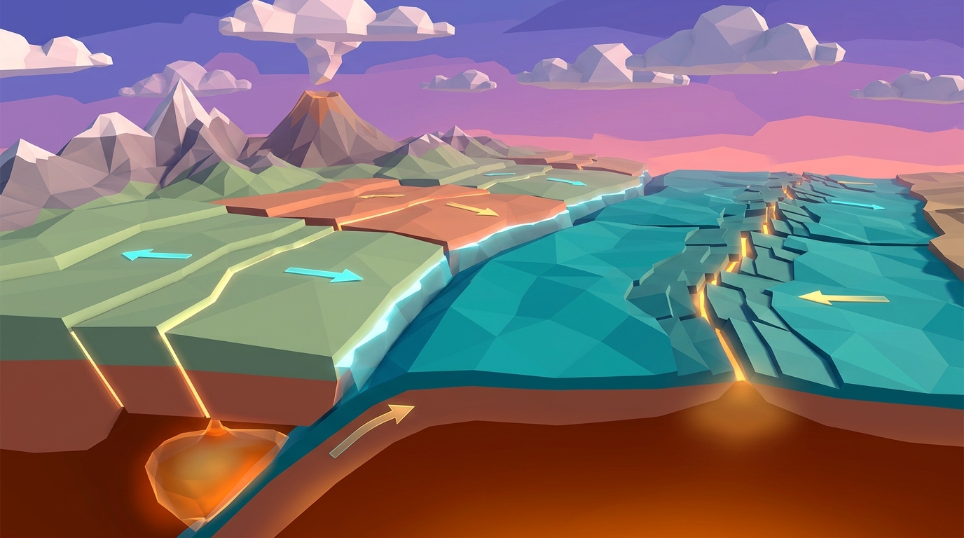
To understand why the Pacific Rim dominates planetary geodynamics, we must view oceanic lithosphere as a mechanical conveyor belt. Basaltic oceanic crust is born continuously at mid-ocean spreading centers, such as the East Pacific Rise. As fresh magma solidifies and moves away from the ridge crest, hydrothermal circulation pumps millions of tons of seawater through fissures, hydrating the basalt and serpentinizing the underlying mantle peridotite.
Over tens of millions of years of seafloor spreading, the crust cools, contracts, and thickens as dense mantle rock freezes onto the base of the lithospheric plate. Eventually, the density of the cold lithosphere reaches approximately 3.3 grams per cubic centimeter, exceeding the density of the underlying asthenosphere. At this stage, the oceanic plate becomes gravitationally unstable.
Along the margins of the Pacific Ocean basin, this heavy, ancient oceanic lithosphere collides with relatively light continental crust (such as the North American and South American plates) or younger, more buoyant oceanic plates (such as the Philippine Sea plate). The older, denser plate bends downward and sinks into the mantle along deep ocean trenches. The negative buoyancy of this sinking slab exerts a relentless gravitational tug known as slab pull, which geophysicists recognize as the single largest driving force of plate tectonics.
Flux Melting: The Volatile Engine Behind Explosive Stratovolcanoes
During classroom inquiry labs, students frequently ask why Ring of Fire volcanoes are notoriously explosive composite cones like Mount St. Helens, Mount Fuji, and Krakatoa, whereas volcanoes in Hawaii produce gentle, effusive basaltic rivers.
The distinction lies in the origin of the magma. Hawaii is fueled by decompression melting over an isolated intraplate mantle plume, where hot, dry mantle rock ascends and partially melts under reduced confining pressure. Ring of Fire volcanoes, however, are fueled by flux melting.
As the oceanic slab plunges past 80 to 120 kilometers depth, crushing confining pressures and thermal conduction from the surrounding asthenosphere break down hydrous minerals like serpentine, chlorite, and amphibole. These minerals dehydrate, releasing supercritical water into the overlying mantle wedge. This water acts as a chemical flux, dramatically disrupting silicon-oxygen bonds within solid peridotite and lowering its melting temperature by up to 200 to 300 degrees Celsius, much like adding salt to ice on a winter roadway.
The resulting partial melt ascends into the crust. As this magma pools and differentiates in crustal chambers, it assimilates silica-rich continental rock, evolving into viscous andesitic and dacitic magma. Because high-silica magma is thousands of times more viscous than basalt, expanding steam bubbles cannot escape freely. Gas pressure builds inside the magma conduit until the pressure breaches the volcanic dome, causing cataclysmic plinian eruptions that produce towering composite stratovolcanoes and deadly pyroclastic flows.
The Wadati-Benioff Zone: 3D Seismic Signatures of Descending Slabs
If subduction is a continuous gravitational descent, why does the Ring of Fire release 90 percent of global seismic energy? The answer is revealed by mapping the three-dimensional geometry of earthquake focal depths along the Wadati-Benioff zone.
Named after Japanese seismologist Kiyoo Wadati and American geophysicist Hugo Benioff, this zone is a planar, inclined band of earthquake foci that plunges beneath volcanic arcs at angles ranging from 30 to 70 degrees. By analyzing real seismic catalogs, geophysicists divide this seismicity into three distinct depth tiers:
1. Shallow-Focus Megathrust Earthquakes (0 to 70 km depth): Occur directly along the brittle contact zone where the overriding plate rubs against the subducting slab. Friction locks the plates together for decades or centuries, accumulating enormous elastic strain that periodically slips in massive magnitude 8.0 to 9.5 megathrust earthquakes.
2. Intermediate-Focus Earthquakes (70 to 300 km depth): Occur within the interior of the descending slab itself. As hydrated minerals dehydrate, the sudden expulsion of high-pressure pore fluids counteracts confining pressure, inducing dehydration embrittlement and high-stress faulting.
3. Deep-Focus Earthquakes (300 to 700 km depth): Restricted exclusively to the cold, rigid core of ancient slabs that have not yet warmed to mantle temperatures. Below 700 kilometers, ambient temperatures exceed 1,400 degrees Celsius, and rock deforms plastically rather than fracturing, causing earthquake activity to terminate abruptly.
Synthesize Circum-Pacific Subduction in Interactive 3D
Control an entire oceanic basin inside Volcano Island Level 14. Adjust plate age, convergence velocity, and hydration rates in real time to observe how slab pull, trench suction, and flux melting generate the explosive volcanic arcs of Cascadia, Japan, and the Andes.
Teaching this topic tomorrow? Download the Free NGSS Student Lab Sheet (Printable PDF)
Equip your middle school earth science students with printable Pacific Basin plate boundary worksheets, Wadati-Benioff depth plotting exercises, and NGSS MS-ESS2-1 / MS-ESS3-2 assessment rubrics.
Circum-Pacific Subduction Margins: Comparing Major Tectonic Arcs
Although all subduction zones around the Pacific Rim share the same fundamental physics, each sector displays unique characteristics determined by slab age, convergence velocity, and whether the overriding plate is continental or oceanic.
The following table compares the physical dynamics, convergence velocities, trench depths, and benchmark volcanoes across the major sectors of the Ring of Fire:
| Subduction Margin & Sector | Plates in Collision | Convergence Rate | Trench & Max Depth | Volcanic Arc Setting | Benchmark Active Volcanoes |
|---|---|---|---|---|---|
| Locked MegathrustCascadia Subduction Zone (Pacific Northwest) | Juan de Fuca under North American | ~3.8 to 4.2 cm/year | Cascadia Trench (2,900 m, sediment-filled) | Continental Volcanic Arc | Mt. Rainier, Mt. St. Helens, Mt. Shasta, Mt. Hood |
| Active Island ArcAleutian Arc & Trench (Alaska) | Pacific under North American | ~6.0 to 8.5 cm/year | Aleutian Trench (7,679 m) | Oceanic Island Arc | Shishaldin, Pavlof, Cleveland, Okmok |
| Steep Slab MegathrustJapan & Kuril Trench (Northeast Asia) | Pacific under Okhotsk / Eurasian | ~8.0 to 9.2 cm/year | Japan Trench (8,410 m) | Island Arc on Continental Crust Fragment | Mt. Fuji, Sakurajima, Mt. Asama, Ontake |
| Deepest TrenchMariana Trench & Izu-Bonin Arc | Pacific under Philippine Sea | ~3.0 to 5.0 cm/year | Mariana Trench / Challenger Deep (10,984 m) | Intra-Oceanic Island Arc with Back-Arc Spreading | Anatahan, Pagan, Northwest Rota-1 (submarine) |
| Thick Continental CrustPeru-Chile Margin (Andes) | Nazca under South American | ~6.5 to 7.5 cm/year | Peru-Chile Trench (8,065 m) | High Continental Mountain Arc | Cotopaxi, Lascar, Villarrica, Ojos del Salado |
| Fastest ConvergenceTonga-Kermadec Arc (Southwest Pacific) | Pacific under Indo-Australian | ~16.0 to 24.0 cm/year | Tonga Trench / Horizon Deep (10,882 m) | Fast Intra-Oceanic Arc with Active Back-Arc Basin | Hunga Tonga-Hunga Ha'apai, Tofua, White Island |
Hands-On Classroom Inquiry: 4-Step Circum-Pacific Mapping Protocol
In traditional earth science classrooms, students memorize plate boundary maps without understanding how those lines were originally deduced. In my classroom testing, having students reconstruct plate boundaries from raw seismic coordinates produces dramatic gains in spatial reasoning and tectonic comprehension.
Use the following 4-step investigation protocol with your middle or high school science classes:
Plot Epicenters and Convergence Vectors Across the Basin
Provide students with global earthquake coordinates for magnitude 5.5+ events over the past 20 years. Students plot epicenters onto an outline map of the Pacific basin and overlay GPS plate velocity arrows to identify where plates collide.
Construct a Wadati-Benioff Depth Profile Across Northern Japan
Have students select a perpendicular transect across the Japan Trench through Hokkaido. Students plot earthquake longitude on the horizontal axis and focal depth on the vertical axis, revealing the 45-degree inclined plane of the subducting Pacific slab.
Correlate Slab Dehydration Depth with Volcanic Front Locations
Direct students to measure the horizontal distance from the trench axis to the active volcanic arc. Correlate this distance with the depth of the slab beneath the volcanoes to verify the 100-kilometer flux melting dehydration window.
Synthesize Arc Mechanics in Volcano Island Level 14
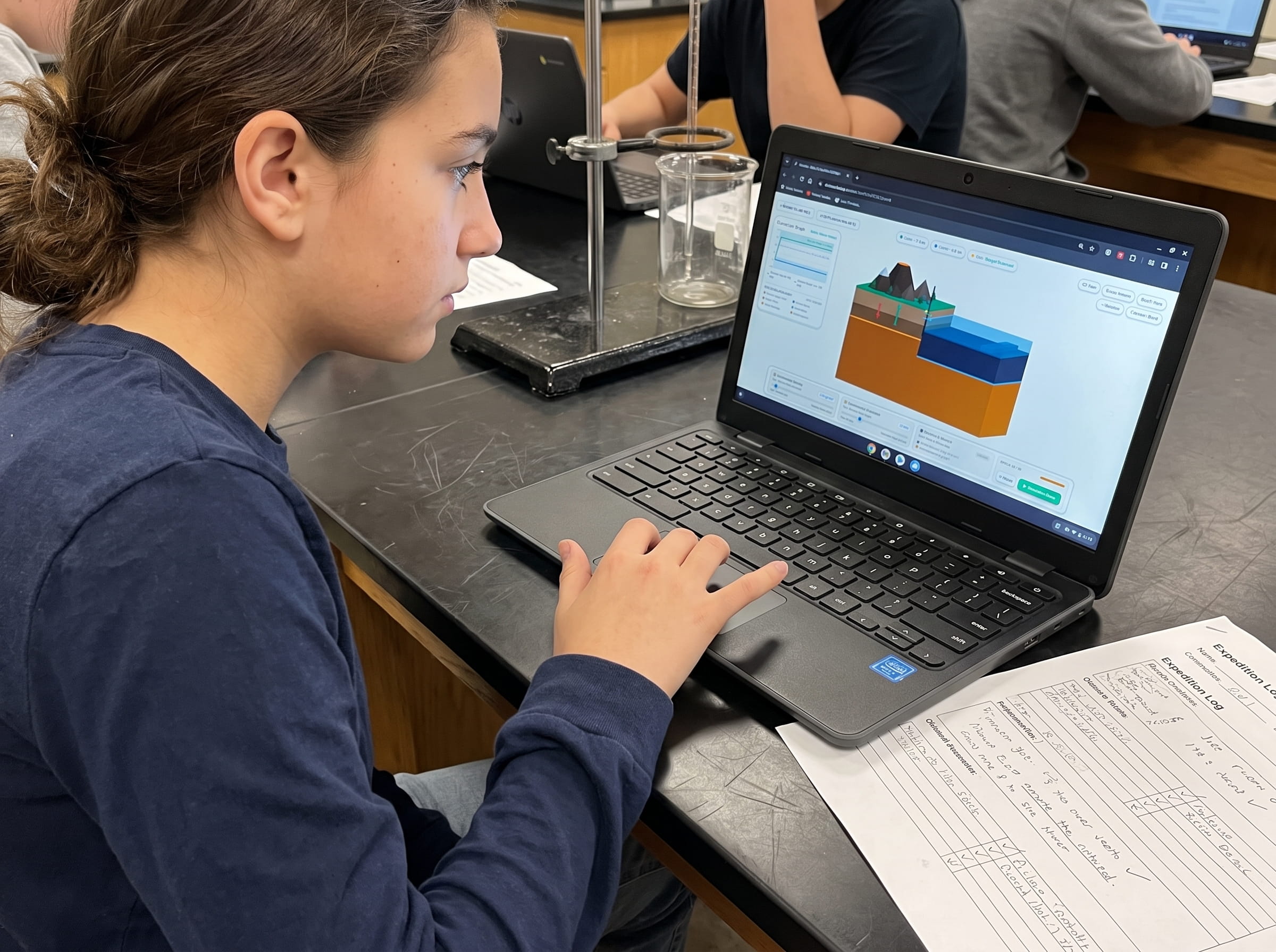
Launch Volcano Island Level 14 in any web browser. Students manipulate slab age, convergence rate, and mantle hydration sliders to watch how physical variables govern trench rollback, arc volcanism, and megathrust strain accumulation.
Frequently Asked Questions About the Pacific Ring of Fire
Here are detailed answers to the most common questions middle and high school students ask about the Ring of Fire, plate boundaries, and subduction earthquakes:
Why are there so many earthquakes in the Ring of Fire?
Why is the Ring of Fire shaped like a horseshoe instead of a full circle?
How does subduction create volcanoes in the Ring of Fire?
What is the Wadati-Benioff zone and why is it important?
How can students explore Ring of Fire dynamics in Praxos simulations?
Related Earth Science Guides and Interactive Laboratories
Continue expanding your middle school earth science and plate tectonics curriculum with our companion interactive guides:
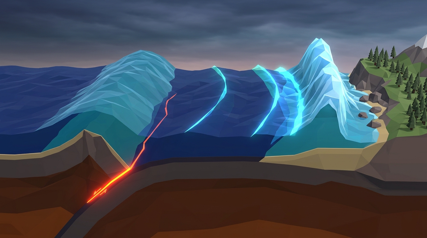
Explore how subduction earthquakes displace oceans in our megathrust tsunami physics guide.
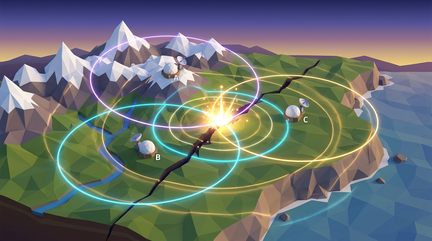
Learn how geologists pinpoint earthquake ruptures in our earthquake epicenter triangulation guide.
Understand explosive roof collapse in our caldera formation guide.
Explore how oceanic trenches plunge into the mantle in our ocean trenches and subduction zones guide.
Investigate convergent plate collisions in our convergent boundary subduction guide.
Explore our complete 20-level hands-on Earth science simulation curriculum options.
Download the Free 24-Page Field Geologist Logbook
Equip your middle school earth science students with printable Pacific Basin plate boundary worksheets, Wadati-Benioff depth plotting exercises, and NGSS MS-ESS2-1 / MS-ESS3-2 assessment rubrics.