Beyond Arcade Explosions: Why We Need Realistic Tsunami Games
In popular video games and Hollywood blockbusters, tsunamis are almost universally depicted as colossal, curling 100-foot surfing waves that smash into skyscrapers like a giant ocean roller coaster. However, this cinematic trope misleads students about the true physics of marine geohazards. In the physical world, a tsunami does not behave like a wind wave: it behaves like an entire ocean elevating and surging inland like an unstoppable wall of water.
When students interact with realistic tsunami games, they move past superficial arcade destruction to explore authentic fluid dynamics. They discover how underwater megathrust fault ruptures displace thousands of cubic kilometers of water, sending shockwaves across entire ocean basins.
When I engineered Level 13 of Volcano Island, my focus was pure physical fidelity: implementing shallow-water wave equations where wave speed is directly proportional to water depth. Watching waves travel as fast as commercial jetliners in deep water and slow down as they compress along shorelines gives learners an unforgettable grasp of physical conservation laws.
The Hydrodynamic Physics: How Tsunamis Generate, Travel, and Shoal
Mastering tsunami science through realistic simulation requires exploring the three distinct phases of a tsunami life cycle:
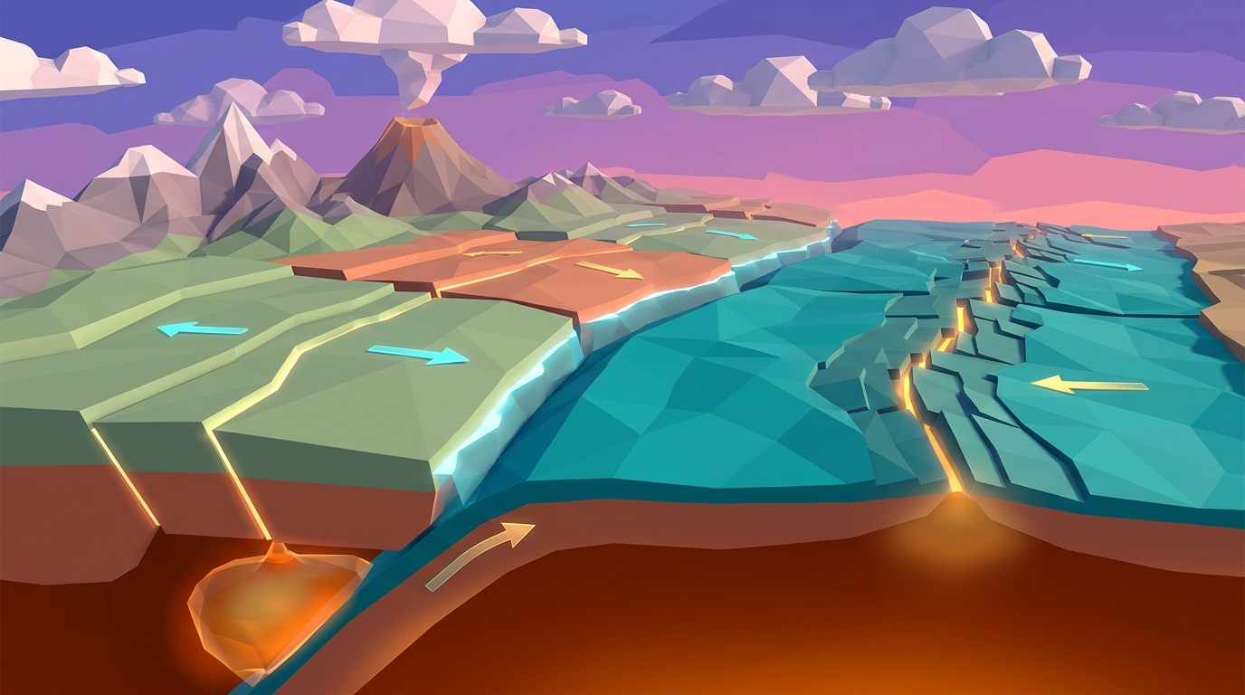
1. Generation (Submarine Displacement). Most catastrophic tsunamis are triggered at convergent subduction zones where an overriding continental plate snaps upward during a megathrust earthquake (like the 2004 Indian Ocean or 2011 Tohoku events). This vertical displacement lifts the entire water column above it, generating a surface mound of water with immense potential energy.
2. Deep-Ocean Propagation (High Speed, Low Amplitude). In deep ocean basins where water depths exceed 4,000 meters, tsunami waves travel at staggering speeds of 800 kilometers per hour (over 500 miles per hour). However, because their wavelength is massive (often 100 to 200 kilometers long), their wave height in open water is less than one meter. Ships in the open ocean do not even notice a tsunami passing beneath them.
3. Coastal Shoaling (Wave Compression and Runup). As the wave approaches shallow coastal water, the bottom of the wave drags along the seafloor. Frictional resistance slows the front of the wave down to 30 or 40 miles per hour. Because the total energy of the wave must be conserved, the trailing wave compresses against the leading edge, converting kinetic speed into towering vertical height.
If the trough of a tsunami wave arrives first at the shoreline, the sea dramatically recedes hundreds of meters in minutes, exposing reefs and stranded fish. Anyone observing this drawback must immediately seek high ground: the crest of the wave arrives shortly afterward.
Early Warning Systems: The DART Buoy Network
A truly realistic tsunami simulator does not just model water; it models the life-saving technology that detects it. In the open ocean, the National Oceanic and Atmospheric Administration (NOAA) operates the Deep-ocean Assessment and Reporting of Tsunamis (DART) network.
DART systems consist of a bottom pressure recorder anchored to the ocean floor that can detect water column pressure changes as minute as one millimeter beneath miles of sea. When a tsunami passes, the seabed sensor acoustic-modems data upward to a surface buoy, which instantly relays emergency telemetry via satellite to tsunami warning centers.
These automated sensors provide coastal cities with critical minutes or hours of advance warning to evacuate low-lying beaches and river valleys.
Tsunami Physics Simulator
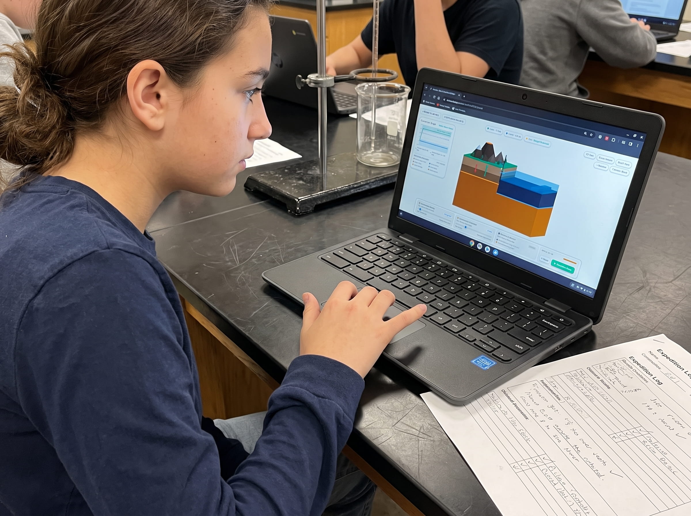
Trigger underwater megathrust fault ruptures in real time. Manipulate seabed displacement depth, measure deep-ocean wave speeds exceeding 500 mph, and observe coastal wave shoaling in 3D.
Teaching this topic tomorrow? Download the Free NGSS Student Lab Sheet (Printable PDF)
Get the complete printable tsunami wave physics investigation pack, wave speed calculations, and NGSS MS-ESS3-2 grading rubrics in a single high-resolution PDF.
Realistic Tsunami Simulators vs. Arcade Video Games
To help educators choose appropriate STEM software, the comparison table below contrasts authentic hydrodynamic simulations against commercial arcade disaster games:
| Simulation Parameter | Realistic Tsunami Games (Praxos) | Arcade / Sandbox Disaster Games | Scientific Pedagogical Value |
|---|---|---|---|
| Wave Physics Engine | Shallow-water hydrodynamic equations (v = sqrt(g*d)) | Pre-baked particle animations or stylized water meshes | Teaches conservation of energy and fluid mechanics |
| Generation Mechanism | Submarine megathrust fault slips & vertical seafloor lift | Arbitrary spawn buttons or sudden water wall drops | Reinforces subduction zone tectonics and seismic rupture |
| Open-Ocean Wave Profile | Long wavelength (100km+), low amplitude (<1m), high speed | Giant visible curling monster wave in mid-ocean | Corrects widespread cinematic misconceptions about open-sea tsunamis |
| Coastal Shoaling Behavior | Energy conservation: speed drops, wave height surges | Constant speed; wave smashes without shoreline physics | Demonstrates why bays and inlets amplify runup height |
| Early Warning Integration | Simulated DART seafloor sensors & travel time contours | Zero warning instruments; focus purely on destruction | Inspires interest in oceanography, geophysics, and civil engineering |
Classroom Simulation Protocol: 4 Steps to Model Tsunami Propagation
Bring authentic fluid geophysics directly into your earth science unit with this 4-step classroom lab investigation:
Trigger a Submarine Megathrust Rupture
Open Volcano Island Level 13. Set earthquake magnitude to 8.8 and submarine fault uplift to 5 meters along an offshore subduction trench. Observe the immediate elevation of the sea surface directly above the rupture zone.
Measure Deep-Ocean Wave Velocity
Use the in-game timer to clock the wave front across the 4,000-meter-deep oceanic basin. Calculate wave velocity and verify that it matches the theoretical equation: speed equals the square root of gravity multiplied by depth.
Observe Shoreline Drawback and Shoaling
Watch the coastal camera feed as the wave approaches a continental shelf. Note the dramatic ocean recession (drawback) before the compressed wave front surges inland as a high-volume wall of water.
Deploy Coastal Evacuation Buffers
Test mitigation strategies: introduce offshore barrier islands, mangrove forest coastal buffers, and designated high-ground evacuation routes to assess reduction in simulated structural inundation.
Disaster Preparedness and NGSS Engineering Design Connections
Exploring tsunamis through realistic simulations directly aligns with NGSS MS-ESS3-2 (evaluating natural hazard mitigation designs). Students do not just observe destruction; they evaluate engineering solutions.
By adjusting seawall heights, mangrove wetland buffers, and early warning sirens in simulation scenarios, students test how civil infrastructure protects vulnerable coastal communities.
Educational research by Ormanci (2026) demonstrates that pairing hazard simulations with proactive engineering challenges builds problem-solving agency and mitigates eco-anxiety in young learners.
Frequently Asked Questions About Tsunami Simulation
Below are clear, factual answers to common questions students and educators ask regarding tsunami physics and simulation.
Can an earthquake in California cause a tsunami in Japan?
Why do tsunamis slow down as they approach the shore?
What is the difference between a tidal wave and a tsunami?
How does 3D simulation teach students about wave shoaling?
Download the Free 24-Page Field Geologist Logbook
Get the complete printable tsunami wave physics investigation pack, wave speed calculations, and NGSS MS-ESS3-2 grading rubrics in a single high-resolution PDF.