The Atlantic Ocean Zipper: Why South America and Africa Fit Together
Take a pair of scissors and cut out the continents of South America and Africa from a world map. Push them together across the Atlantic Ocean. The bulge of Brazil slides snugly into the Gulf of Guinea like two interlocking jigsaw puzzle pieces.
In 1912, German meteorologist Alfred Wegener proposed that all continents were once united in a supercontinent named Pangaea. Yet for nearly fifty years, the scientific establishment rejected his theory of continental drift. The objection was simple and devastating: How could solid granite continents plow through thousands of miles of rigid basaltic ocean floor without shattering into pieces?
The breakthrough came in the 1950s when geologist Marie Tharp and oceanographer Bruce Heezen used sonar depth soundings to create the first comprehensive physiographic map of the ocean floor. Hidden beneath three miles of dark seawater, Tharp discovered the largest continuous geological structure on Earth: a 65,000-kilometer underwater mountain range known as the Mid-Atlantic Ridge.
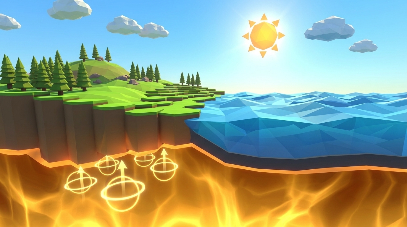
Crucially, Tharp noticed a deep, continuous rift valley slicing through the very center of the ridge spine. Continents were not plowing through the seabed; the ocean floor was physically tearing apart at its seam, with fresh lava welling up from below to push the continents outward like a giant growing zipper.
Continents do not plow through oceanic crust; they are passive passengers pushed apart by new seafloor continually created at volcanic mid-ocean ridges.
The Magnetic Tape Recorder: How Basalt Stripes Proved the Seafloor Moves
How did geologists confirm that the seabed is moving rather than sitting frozen in place? The definitive proof came from an unexpected discovery: the ocean floor acts like a giant magnetic tape recorder.
Basaltic magma rising at mid-ocean ridges is rich in iron-bearing minerals, particularly magnetite. While molten, these microscopic magnetic crystals orient randomly. However, as the magma cools below its Curie point (approximately 580°C), the crystals align with Earth's prevailing geomagnetic field like billions of tiny compass needles, permanently locking their orientation into the solid stone.
Throughout Earth's history, our planet's geomagnetic field has flipped polarity at irregular intervals (the magnetic North Pole becomes the South Pole, and vice versa). In 1963, geophysicists Fred Vine, Drummond Matthews, and Lawrence Morley realized that as fresh basalt crystallizes at the ridge axis and spreads outward, alternating epochs of normal and reversed polarity must produce symmetrical magnetic stripes on either side of the ridge.
When research ships towed magnetometers across the seafloor, they discovered razor-sharp zebra stripes mirror-imaged on both sides of the ridge crest. Measuring the width of these stripes provided the first empirical measurement of tectonic plate speeds: the Atlantic Ocean widens by approximately 2.5 centimeters per year, while the East Pacific Rise spreads at up to 15 centimeters per year.
| Geological Zone | Crustal Age (Ma) | Sediment Layer Thickness | Thermal Heat Flow | Seafloor Depth |
|---|---|---|---|---|
| BIRTHPLACE OF CRUSTMid-Ocean Ridge Axis | 0 Ma (Brand-new crust forming today) | 0 meters (Bare fresh basalt pillow lava) | Extremely high (hydrothermal black smokers) | 2.0 to 2.8 km below sea level |
| MATURE SEABEDAbyssal Plain (Flanks) | 10 to 80 Ma (Mature cooling crust) | 100 to 500 meters (Marine clays & biogenic ooze) | Moderate to low thermal dissipation | 3.8 to 5.0 km below sea level |
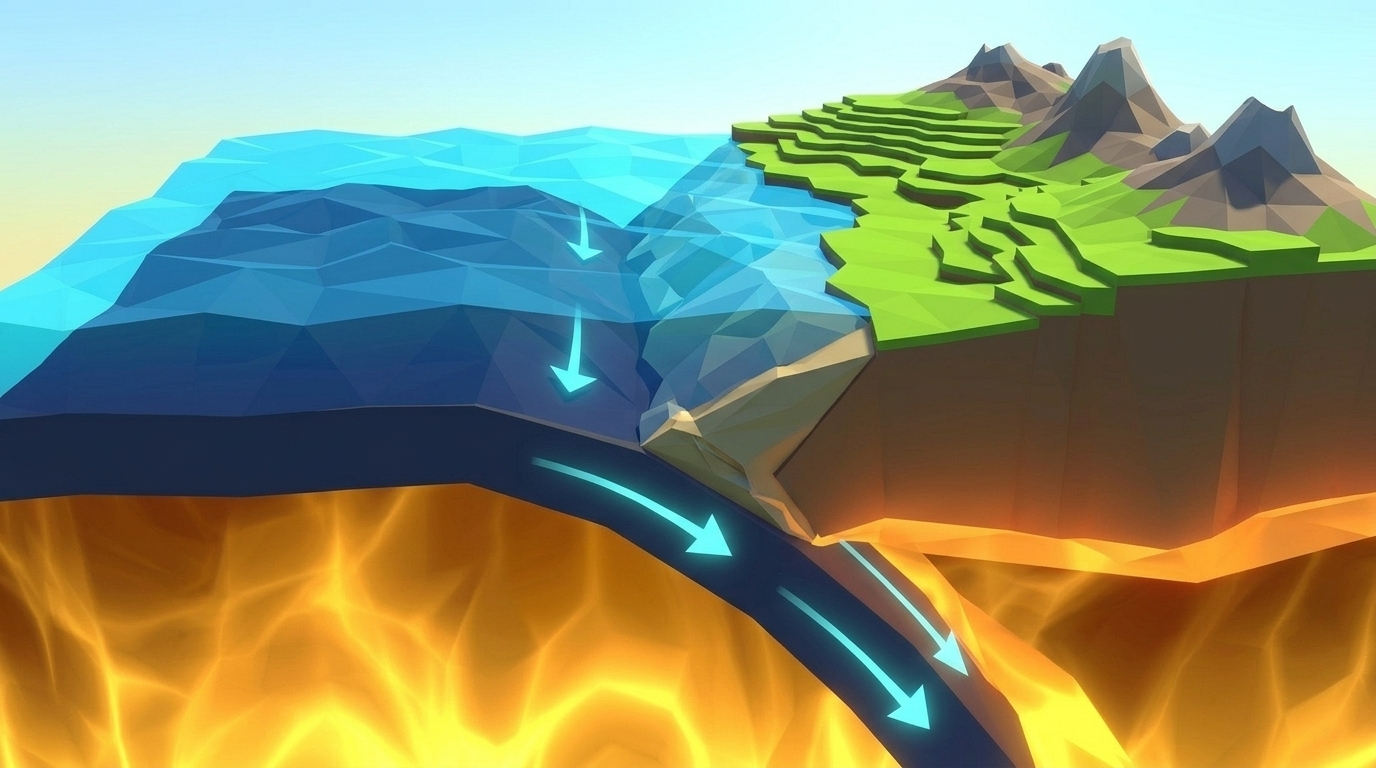
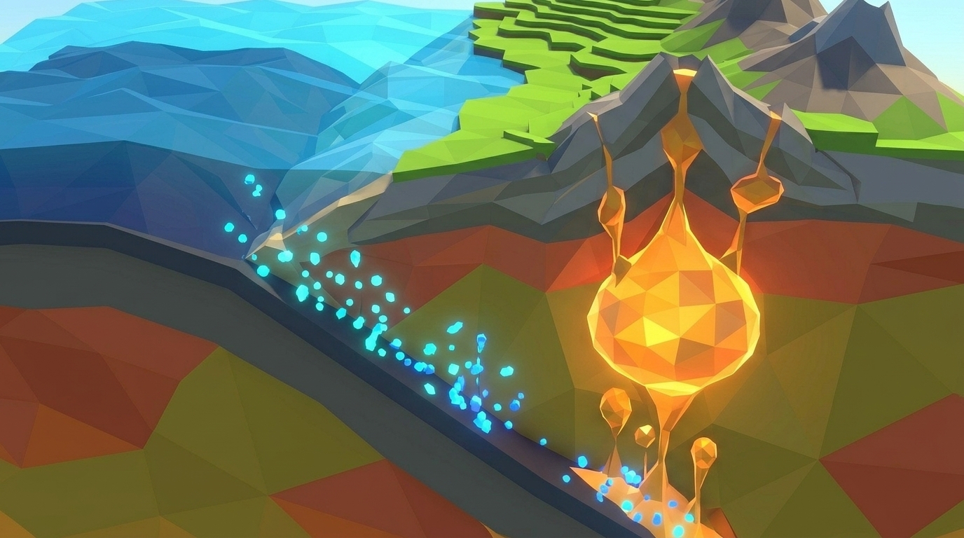
| DEATH / SINK ZONESubduction Trench | >120 to 180 Ma (Coldest, densest crust) | Up to 2,000 meters (Heavy pelagic sediment wedge) | Very low heat flow (negative thermal anomaly) | 6.0 to 11.0 km below sea level |
The Mechanics of Level 03: Balancing Seafloor Accretion in Real-Time 3D
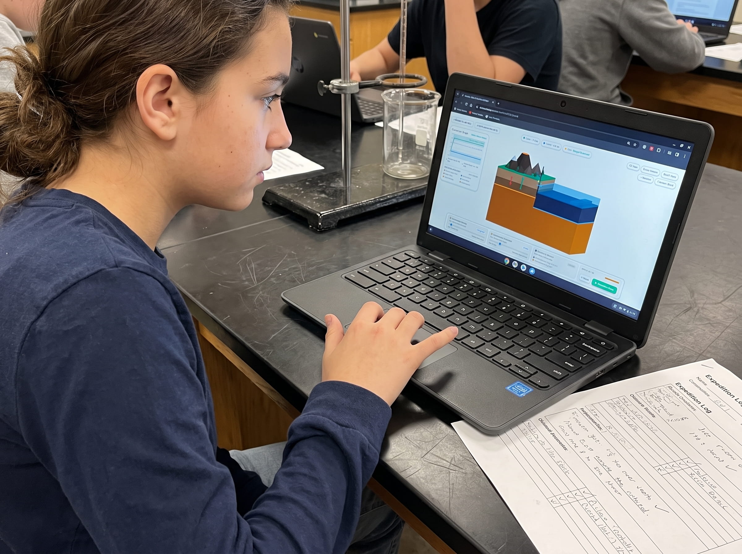
In Level 03 of the Praxos Volcano Island simulation laboratory (The Spreading Ridge), students take control of a divergent plate boundary deep in an underwater ocean basin. A Three.js cutaway diorama displays a central volcanic rift valley flanked by two oceanic lithospheric plates.
To keep the spreading center stable, students manipulate two interconnected physical variables:
1. Tectonic Pull Rate: Adjustable from 1.0 to 10.0 cm/year (defaulting to a sluggish 1.0 cm/year).
2. Magma Upwelling Pressure: Adjustable from 0% to 100% (defaulting to a weak 15% inflow).
As the simulation advances across 50 epochs, students must accrete at least 50 kilometers of brand-new oceanic basalt while maintaining seafloor elevation above -4.0 km. A synchronized 2D coordinate graph displays Total Accreted Seafloor Width (cyan line, km) alongside the Crustal Age Gradient (white line, Ma vs distance).
At Epoch 25, a dynamic Earth Magnetic Polarity Reversal occurs: freshly cooling basalt changes color from bronze to dark slate, visually demonstrating how paleomagnetic barcode stripes form. If plates are pulled apart faster than magma can recharge (pull rate 9 cm/yr with 15% magma), the ridge tears open into a catastrophic empty abyss. If magma pressure is set too high with minimal spreading, a volcanic barrier mountain erupts, blocking ocean circulation.
Before running their experiment, students test three structured hypotheses:
Hypothesis A: Symmetrical Rift Filling (Dynamic Equilibrium)
Set Tectonic Pull Rate to 4.5 cm/year and Magma Upwelling Pressure to 55%. Magma ascends at the exact rate tectonic divergence opens space, accreting 52 km of beautifully banded crust with zero rift collapse.
Hypothesis B: The Chasm Starvation Collapse (Magma Deficit)
Increase Tectonic Pull Rate to 9.0 cm/year while leaving Magma Pressure at 15%. Plates pull apart too fast for magma to fill the void, tearing open an unhealed 6-kilometer-deep canyon and triggering structural failure.
Hypothesis C: The Overpressure Volcanic Dam (Magma Excess)
Crank Magma Pressure to 95% while keeping Pull Rate at 1.0 cm/year. Excess basalt piles up faster than plates can disperse it, forming an unnatural underwater mountain ridge rising above -1.0 km depth.
Tear open the ocean floor in your browser. Balance tectonic divergence and magma recharge to forge brand-new oceanic lithosphere in real-time 3D.
Launch Free Level 1 Volcano SimulationForge Brand-New Ocean Floor at a Mid-Ocean Ridge in 3D
Balance Tectonic Pull Rate and Magma Upwelling Pressure in our real-time 3D ocean basin diorama. Accrete 50 kilometers of new banded basaltic seafloor without tearing open a catastrophic chasm. Zero sign-up, instant browser play.
Thingvellir, Iceland: Walking Between Tectonic Plates Above Sea Level
Almost all mid-ocean spreading ridges hide thousands of meters beneath the waves. There is only one place on planet Earth where a divergent plate boundary rises out of the sea into open air: the island of Iceland.
Iceland exists because the Mid-Atlantic Ridge intersects a massive subterranean mantle plume (hotspot). The colossal volcanic output built a landmass tall enough to breach the ocean surface. At Thingvellir National Park in southwestern Iceland, visitors can stand in the Almannagja rift valley with one foot on the North American tectonic plate and one foot on the Eurasian tectonic plate.
The two tectonic plates pull apart by approximately 2.5 centimeters every year. As tension builds, deep fissures tear open in the ground, roads and utility pipelines stretch and rupture, and occasional fissure eruptions spew basaltic lava curtains across the mossy plains. In Iceland, seafloor spreading is not an abstract geological concept; it is an active, living force of nature.
In Iceland, the Mid-Atlantic Ridge rises above sea level, allowing scientists and visitors to walk directly inside the tectonic fissure where Europe and North America separate.
The Dual-Format Advantage: Reading the Paleomagnetic Barcode on Paper
Why does Praxos integrate printable field logbooks with interactive 3D simulations? Because calculating physical rates on paper solidifies abstract digital concepts into concrete mathematical understanding.
In our dual-format Earth Science curriculum, students open their printable Volcano Island Expedition Science Journal to Mission 03. Using a metric ruler, they measure the symmetrical magnetic zebra stripes on the printed seabed template. Given a spreading rate of 4.5 centimeters per year, students calculate the age of basalt samples located 20 km, 45 km, and 90 km from the central ridge axis.
By calculating the age-to-distance ratio by hand, students independently verify that crustal age increases linearly with distance from the rift. Finally, they construct a Claim-Evidence-Reasoning (CER) paragraph explaining why matching zebra stripes on opposite sides of an ocean basin prove that continents were once joined together.
Prompt for students: Measure the width of magnetic Stripe B on the West Flank and East Flank. Using the formula Time = Distance / Velocity, calculate how many millions of years ago this rock crystallized from magma at the mid-ocean ridge.
Frequently Asked Questions About Seafloor Spreading and Level 03
Answers to common questions from middle school educators, homeschool families, and students exploring divergent plate tectonics.
If new ocean floor is constantly being created, is planet Earth expanding?
Why is the oldest ocean floor on Earth only 200 million years old if Earth is 4.5 billion years old?
What are hydrothermal black smokers at mid-ocean ridges?
What is the exact win condition for Volcano Island Level 3?
How does Level 3 connect to Level 4 (The Deep Trench)?
Related Earth Science Units & Simulation Lab Resources
Continue your middle school Earth and Space science exploration with these curriculum-aligned resources:
Review crustal buoyancy in our crustal buoyancy isostasy simulation Level 1 guide.
Explore deep thermal circulation in our mantle convection tectonics simulation Level 2 guide.
Investigate subduction abysses in our subduction zones deep trench simulation Level 4 article.
Review complete homeschool science options in our earth science homeschool curriculum guide.
Set up student accounts with zero student logins on our educator dashboard.
24 pages of printable isostatic buoyancy calculation tables, paleomagnetic zebra stripe rulers, and seismogram triangulation exercises designed for grades 4 to 8.
DOWNLOAD EXPEDITION LOGBOOK (PDF)Level 3 Paleomagnetic Zebra Stripe & Seafloor Age Journal (PDF)
A printable 24-page Volcano Island Expedition Science Journal featuring structured magnetic reversal tracking grids, crustal distance-to-age ratio calculations, and plate tectonic boundary maps.