The Great Underwater Rift: Earth's Longest Mountain Range is Under the Sea
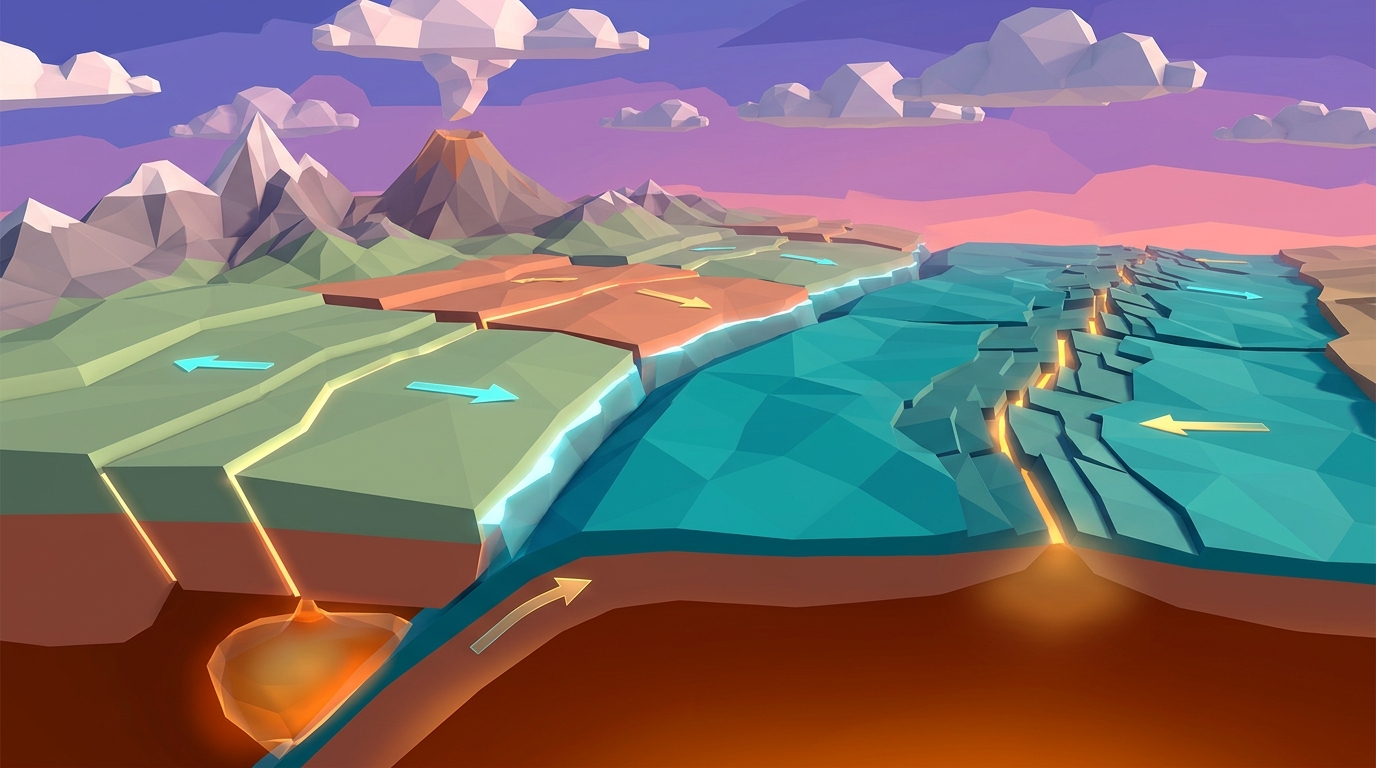
If you drained all the salt water from Earth's oceans, the most breathtaking geological feature on the planet would not be the Grand Canyon or Mount Everest. It would be an unbroken mountain chain winding across the global abyss for more than 65,000 kilometers (40,000 miles). This is the global mid-ocean ridge system, and it marks Earth's primary divergent ocean boundaries.
At these submerged frontiers, the planet is literally tearing itself apart. Imagine two supermarket checkout conveyor belts placed end-to-end, rolling slowly away from each other in opposite directions. In the gap between them, warm baker's dough wells up from below, immediately cooling and hardening as it reaches the surface to form fresh conveyor belt material. That baker's dough is basaltic magma generated by partial melting in the upper mantle.
Rather than creating bottomless chasms into the center of the Earth, divergent ocean boundaries are productive crust factories. As tectonic plates separate by a few centimeters each year, decompression melting in the underlying asthenosphere fills the fissure with molten basalt, welding on brand-new seafloor in a continuous, planetary-scale construction project.
In middle school Earth Science curricula aligned with NGSS MS-ESS2-1, MS-ESS2-2, and MS-ESS2-3, understanding divergent boundaries provides the foundational key to plate tectonics. Without seafloor spreading to push oceanic plates outward, there would be no slab-pull subduction, no explosive volcanic island arcs, and no continental drift.
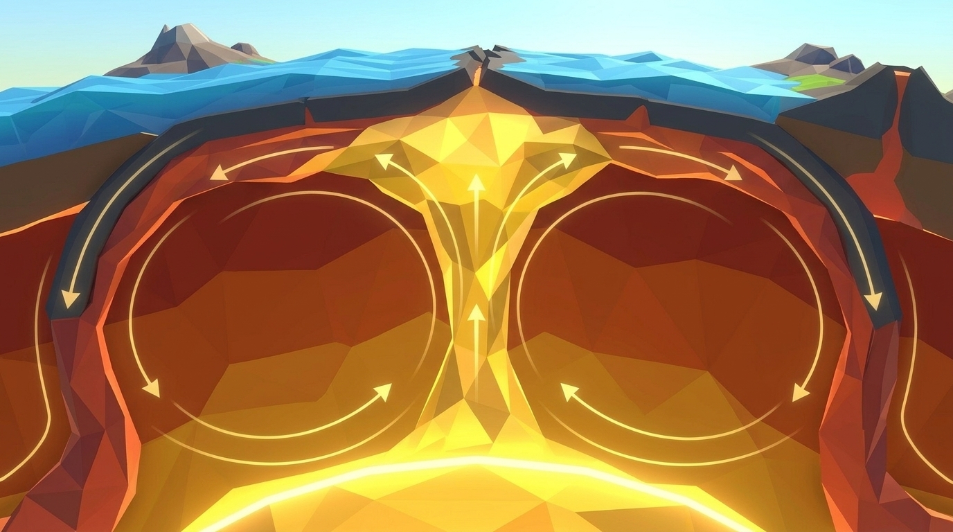
At divergent boundaries, buoyant thermal heat causes the young, hot oceanic crust to stand up to 3,000 meters higher than the surrounding abyssal plains. This creates ridge push: gravity gently slides cooling, dense rock downslope away from the ridge crest, helping drive tectonic plates across the globe.
The Anatomy of a Mid-Ocean Ridge: From Magma Chamber to Pillow Basalts
A mid-ocean ridge spreading center is not just a simple crack in the seabed; it is a complex volcanic and hydrothermal engine operating under hundreds of atmospheres of hydrostatic pressure.
At the exact center of the ridge lies an axial rift valley, a rugged canyon dropping up to two kilometers deep bounded by towering fault scarps. Beneath this rift valley sits a shallow crustal magma chamber, bubbling between 1,100 and 1,250 degrees Celsius. As tectonic tension pulls the rift open, molten rock ascends along vertical pathways called sheeted dikes.
When basaltic lava erupts directly into near-freezing deep ocean water (typically 2 to 4 degrees Celsius), a miraculous thermal transformation occurs. The outer skin of the molten basalt chills into volcanic glass within seconds, swelling into bulbous, rounded lobes known as pillow basalts. Piles of pillow lavas form the topmost layer of new oceanic crust.
Meanwhile, seawater seeps miles deep into cold brittle fractures along the flanks of the rift valley. Reaching scorching temperatures near the magma chamber, the water dissolves sulfur, copper, iron, and zinc from the surrounding rock. This superheated mineral broth erupts back into the ocean as hydrothermal vents, also known as black smokers, supporting thriving deep-sea chemosynthetic ecosystems completely independent of sunlight.
| Crustal Layer | Rock Type & Structure | Thickness Range | Geological Formation Mechanism |
|---|---|---|---|
| OCEAN FLOOR SKINLayer 1: Pelagic Marine Sediment | Biogenic oozes, microscopic plankton shells, and deep-sea clay | 0 meters at ridge axis to 1,000+ meters at ocean edges | Settles slowly out of seawater over millions of years; thickens symmetrically away from the spreading center |
| FRESH VOLCANIC CRUSTLayer 2A: Pillow Basalts | Extrusive basalt with glassy quenched rinds and bulbous rounded lobes | 0.5 to 1.0 km | Formed when molten lava erupts directly into frigid bottom seawater at the central axial rift |
| FROZEN FEEDER CRACKSLayer 2B: Sheeted Dike Complex | Vertical parallel feeder conduits of solid fine-grained diabase | 1.0 to 1.5 km | Ancient magma pathways that repeatedly cracked open and froze as tectonic plates pulled apart |
| DEEP CRUSTAL BASELayer 3: Layered Gabbro | Coarse-grained intrusive mafic rock crystallized slowly deep underground | 3.0 to 5.0 km | Cooled floor and walls of the subterranean axial magma chamber |
| MANTLE FOUNDATIONUpper Mantle Base (Moho Boundary) | Ultramafic peridotite (dense olivine and pyroxene crystals) | Extends into the asthenosphere | The solid mantle rock from which partial melting extracts basaltic magma |
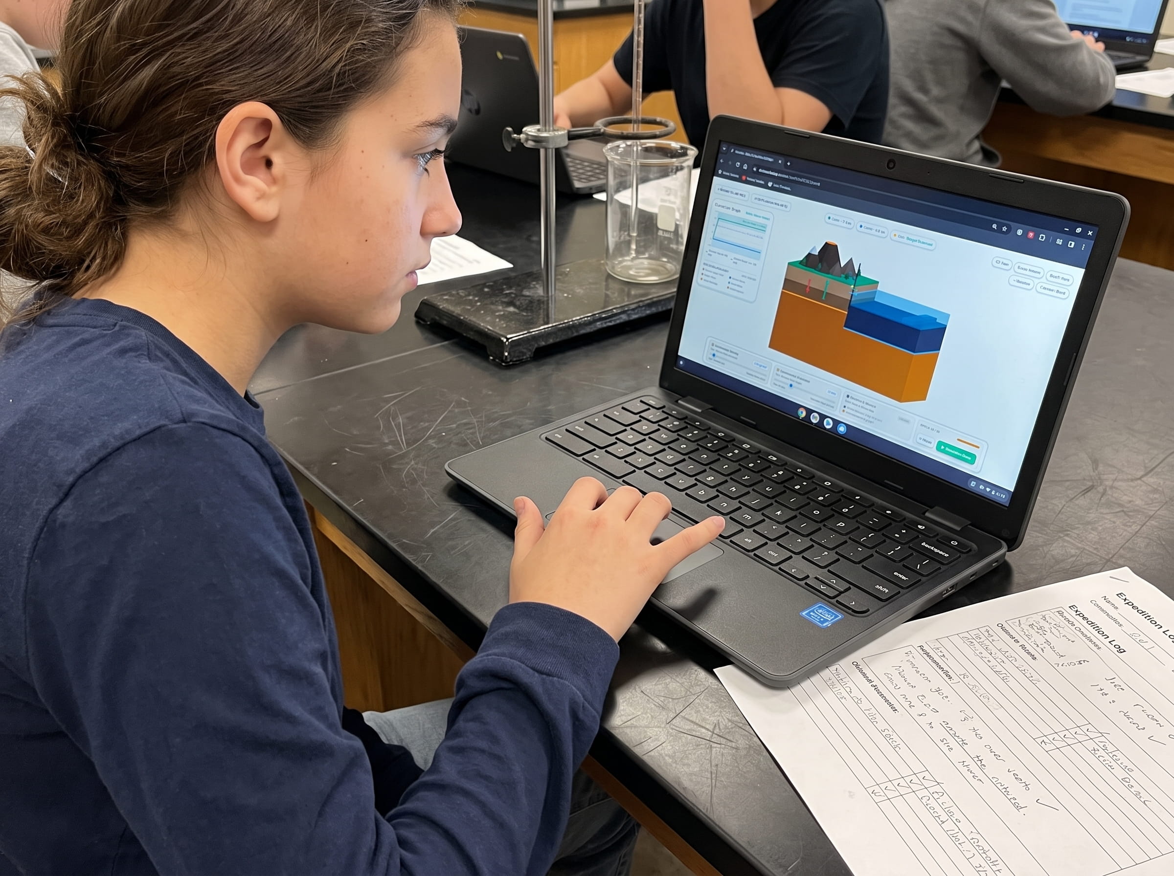
Launch Level 1 and Level 3 of Volcano Island in your browser. Watch fresh basaltic magma erupt into oceanic rift valleys with zero account creation or plugins.
Launch Free 3D Volcano SimulationMagnetic Zebra Stripes: The Paleomagnetic Tape Recorder That Proved Drift
For decades after Alfred Wegener proposed continental drift in 1912, skeptics dismissed his hypothesis because nobody could explain the physical mechanism that could push solid granite continents across solid basalt ocean floors. The breakthrough came in 1963, when geophysicists Fred Vine, Drummond Matthews, and Lawrence Morley looked at magnetic surveys of the seafloor.
Earth's molten iron outer core functions as a self-sustaining geodynamo, generating a planetary magnetic field with distinct North and South magnetic poles. Every few hundred thousand years, this magnetic field reverses: compass needles that point north today would have pointed south 800,000 years ago during the Matuyama Reversed Epoch.
Basaltic lava is naturally rich in iron-bearing minerals, particularly magnetite. When magma cools below approximately 580 degrees Celsius (known in physics as the Curie Point), these microscopic magnetic crystals align with Earth's prevailing magnetic field, freezing like tiny navigational compass needles.
Because new seafloor continuously forms at the ridge crest and splits symmetrically down the center, the oceanic crust acts as a giant magnetic tape recorder. As research ships towed magnetometers across the seafloor, they discovered matching, alternating stripes of normal and reversed magnetic polarity mirroring each other on both sides of the ridge axis. This was the undeniable smoking gun: new crust was indeed being created at mid-ocean ridges and conveyed outward over millions of years.
Magma Ascends Above the Curie Point
Basaltic magma rises into the axial rift valley at over 1,100 degrees Celsius. At this extreme temperature, thermal agitation prevents iron crystals from locking into any magnetic alignment.
Rapid Quenching Freezes Magnetic Orientation
Frigid ocean water chills the basalt below 580 degrees Celsius. Magnetite crystals instantly freeze their alignment, pointing directly toward the prevailing magnetic North Pole.
Symmetrical Seafloor Conveyor Spreading
Tectonic spreading pulls the newly magnetized crust away from the rift. When Earth's magnetic field reverses 200,000 years later, the next batch of basalt freezes with opposite polarity, creating alternating zebra stripes.
Adjust plate spreading rates from 2 cm/year to 16 cm/year and trigger magnetic reversals to watch zebra stripes record across ocean basins.
Test Spreading Velocity in Level 3Test Mid-Ocean Ridge Seafloor Spreading in 3D
Adjust mantle thermal upwelling speed and oceanic plate spreading rates in our real-time 3D diorama. Observe fresh basaltic crust forming at the central rift and track magnetic polarity reversals in your browser with zero logins.
Teaching this topic tomorrow? Download the Free NGSS Student Lab Sheet (Printable PDF)
A printable 24-page Earth Science Student Journal featuring bathymetric ridge profiling sheets, magnetic zebra stripe rulers, and plate velocity calculation tables calibrated for classroom Chromebooks.
From Continental Rifts to Ocean Basins: The Birth of a New Ocean
Divergent boundaries do not begin in the middle of deep oceans. They start beneath thick continental landmasses, tearing ancient continents apart in a four-stage evolutionary sequence that takes tens of millions of years.
Stage 1 (Continental Upwarping): A massive thermal plume in the mantle rises beneath a continental plate. The intense heat causes the crust to expand and warp upward like a blister, producing long parallel fractures.
Stage 2 (Continental Rift Valley): Continued tension pulls the crust apart. Huge fault blocks drop downward, creating a steep-sided rift valley dotted with active volcanoes and long lakes. This is happening right now in the East African Rift Valley, home to Mount Kilimanjaro and Lake Tanganyika.
Stage 3 (Narrow Linear Sea): As spreading continues for five to ten million years, the continental crust thins until it drops below sea level. Nearby ocean waters rush in to flood the deepening depression, creating a long, narrow sea with an active central spreading ridge. The Red Sea separating Africa from the Arabian Peninsula is in this exact developmental phase.
Stage 4 (Mature Ocean Basin): Tens of millions of years later, the narrow sea widens into an expansive ocean thousands of miles across, bisected by a submerged mid-ocean ridge. The Atlantic Ocean was born exactly this way when the supercontinent Pangaea began breaking apart 200 million years ago.
In your printed Field Geologist Logbook, draw the four stages of continental rifting. Identify three modern geographical locations that represent Stage 2 (East African Rift), Stage 3 (Red Sea), and Stage 4 (Atlantic Ocean).
How to Measure Seafloor Spreading Velocity: The Math of Plate Motion
One of the most rewarding aspects of Earth Science is realizing that plate tectonics is not an abstract theory; it is a measurable mathematical rate. You can calculate the exact speed of continental drift using the simple velocity formula:
Velocity = Distance / Time
Because geologists have dated magnetic polarity reversals using radioactive isotope dating on land, we know the exact calendar age of every magnetic stripe on the seabed. By measuring the physical distance in kilometers from the central ridge axis to a dated magnetic stripe, students can determine how fast that ocean basin is spreading.
For example, if a magnetic anomaly dated to 10 million years ago sits 100 kilometers away from the Mid-Atlantic Ridge axis, the spreading rate on that flank is: 100 kilometers divided by 10 million years, which equals 1 centimeter per year. Because both sides of the ridge spread outward simultaneously, the full ocean basin is widening at 2 centimeters per year.
Spreading rates vary dramatically across the globe:
1. Slow-Spreading Ridges: The Mid-Atlantic Ridge separates at 2 to 3 centimeters per year (roughly the growth rate of human fingernails), featuring a rugged, deep central rift valley.
2. Fast-Spreading Ridges: The East Pacific Rise spreads at 10 to 16 centimeters per year (roughly the growth rate of human hair). Because magma wells up so rapidly, fast-spreading centers do not have deep axial rift valleys; instead, they form smooth volcanic domes that spill sheets of basalt over vast plains.
In Level 3 of Volcano Island, you can slide the spreading velocity dial from slow (2 cm/yr) to ultra-fast (15 cm/yr) and watch how the bathymetric ridge profile transforms from a jagged canyon to a smooth volcanic arch.
Frequently Asked Questions About Divergent Ocean Boundaries
Curriculum-aligned answers to the most common questions middle school students, teachers, and homeschool parents ask about divergent boundaries and seafloor spreading.
What is the difference between a mid-ocean ridge and an oceanic trench?
Do divergent ocean boundaries produce earthquakes and volcanic eruptions?
Why doesn't the Earth grow bigger if new seafloor is constantly being made?
Can you walk on a divergent ocean boundary on dry land?
Related Earth Science Guides and Interactive Laboratories
Expand your middle school Earth and Space science curriculum with these companion resources:
Learn why continents float while ocean floors sink in our crustal buoyancy and isostasy simulation guide.
Discover the thermal loops driving plate motion in our mantle convection tectonics simulation lab.
Explore what happens when ocean plates collide in our subduction zones and deep trench simulation article.
Browse our complete inquiry-based earth science homeschool curriculum options.
Free 24-Page Field Geologist Expedition Logbook (Printable PDF)
A printable 24-page Earth Science Student Journal featuring bathymetric ridge profiling sheets, magnetic zebra stripe rulers, and plate velocity calculation tables calibrated for classroom Chromebooks.