The Planetary Collision: When Tectonic Giants Meet
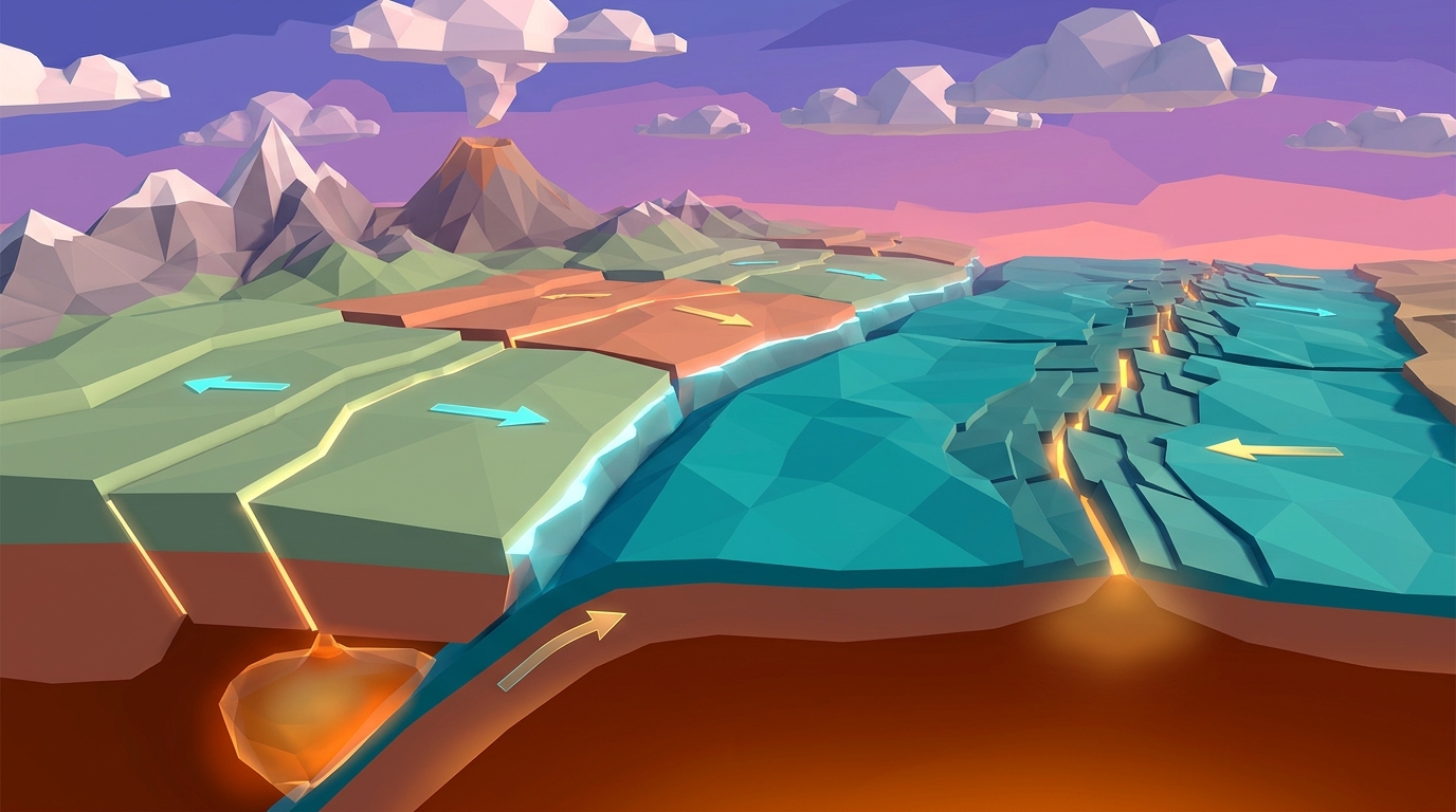
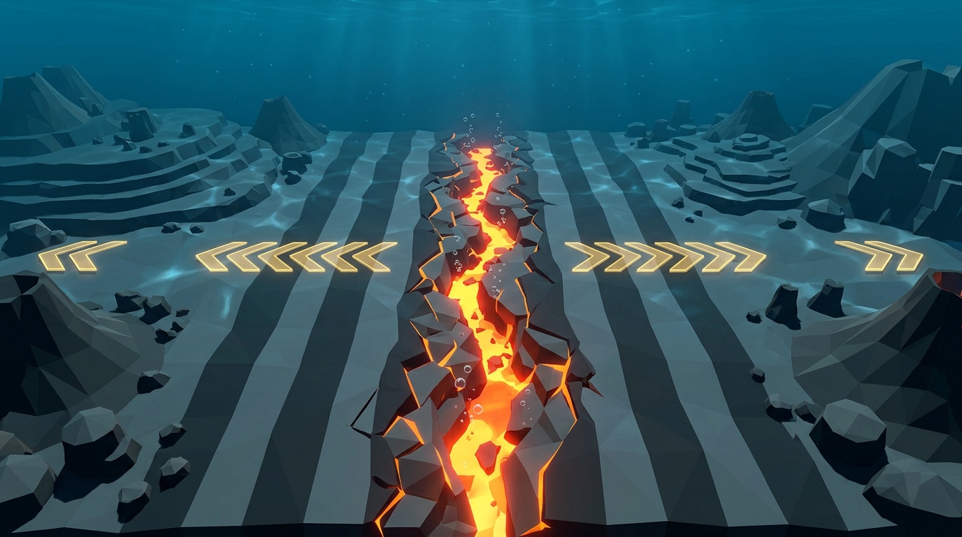
Earth's dynamic crust is broken into more than a dozen rigid lithospheric slabs that drift over the ductile asthenosphere. While divergent ocean boundaries generate fresh basaltic seafloor along 65,000 kilometers of underwater ridges, Earth cannot grow indefinitely. For every square kilometer of fresh crust generated at spreading centers, an equal area of ancient crust must be reabsorbed into the interior.
That planetary recycling takes place at convergent plate boundaries, where tectonic plates move toward each other at speeds ranging from 2 to 18 centimeters per year. When these colossal geological slabs collide, the outcome is determined entirely by rock physics: density, buoyancy, and temperature.
Think of a heavy wet wool blanket sliding off a bed. If you pull one edge of a wet blanket over the bed rail, it may hold for a moment. But as soon as enough dense fabric droops past the edge, its own gravitational weight overcomes friction and pulls the rest of the blanket down with it. In geophysics, this mechanism is called slab pull, and it is the single most powerful engine driving continental drift.
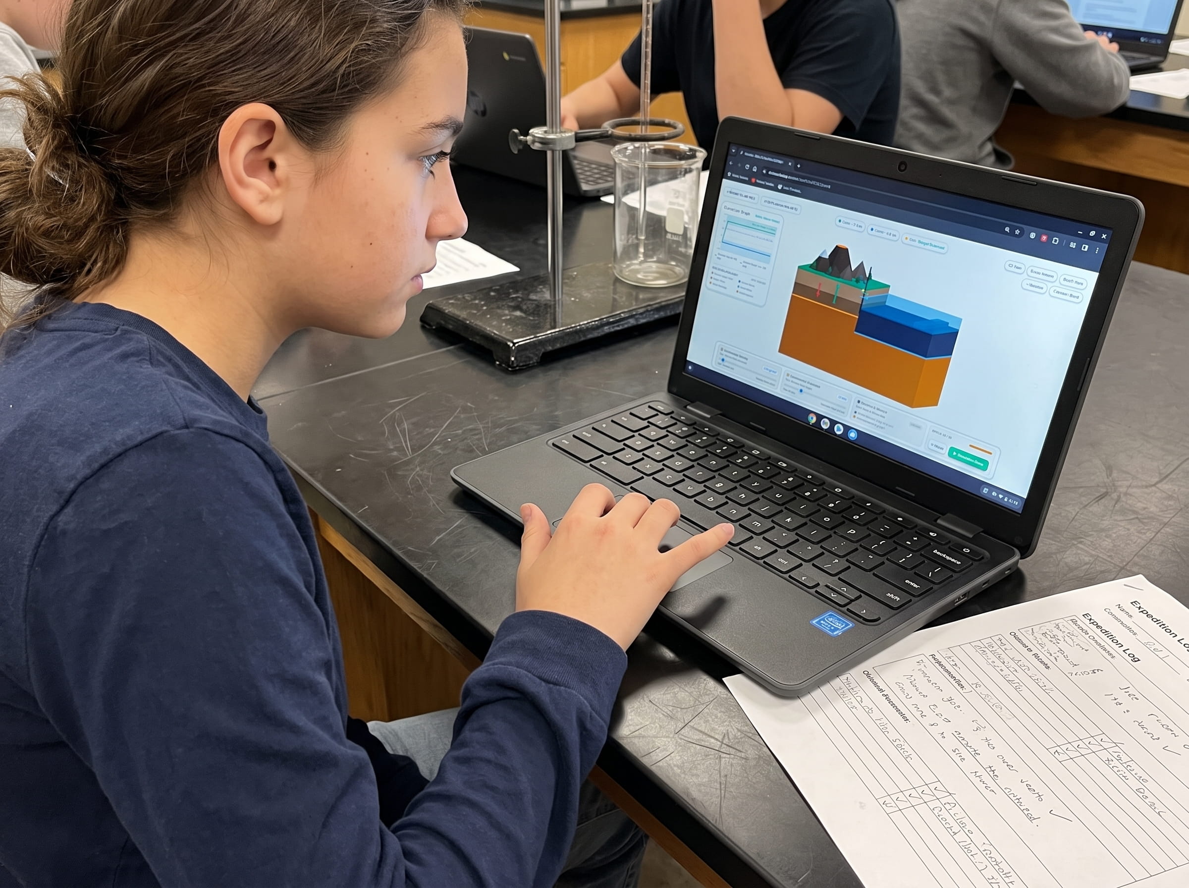
Open Level 1 and Level 4 of Volcano Island directly in your browser. Experiment with crustal density ratios and watch how buoyancy dictates which plate yields during a collision.
Launch Free 3D Earth Science SandboxThe Three Types of Convergent Boundaries: Oceanic, Continental, and Island Arcs
Because tectonic plates can carry either thin, dense oceanic basalt or thick, buoyant continental granite, convergent boundaries manifest in three distinct geological collision styles:
1. Oceanic-Continental Convergence: When a dense oceanic plate meets a buoyant continental plate, the heavier oceanic slab is invariably forced downward into the upper mantle. As it bends, it carves a steep oceanic trench parallel to the coast (such as the Peru-Chile Trench). High-pressure dehydration of the descending slab triggers flux melting in the overlying mantle wedge, giving rise to explosive continental volcanic arcs like the Andes Mountains and the Cascade Range of the Pacific Northwest.
2. Oceanic-Oceanic Convergence: When two oceanic plates collide, the older, colder, and denser of the two plates is forced beneath the younger, warmer plate. This collision forms ultra-deep abyssal trenches, such as the Mariana Trench (10,994 meters deep), along with chains of active volcanic islands called island arcs, including the Aleutian Islands, Japan, and the Mariana Archipelago.
3. Continental-Continental Convergence: When two buoyant continental landmasses meet, neither plate is dense enough to subduct into the heavy mantle. Instead of sinking, the buoyant granitic crust buckles, fractures, and piles upward into towering mountain ranges. This collision created the Himalayas and the high Tibetan Plateau as the Indian subcontinent rammed into the Eurasian Plate 50 million years ago, a collision that continues to push Mount Everest several millimeters higher each year.
Density Differential Determines the Descending Slab
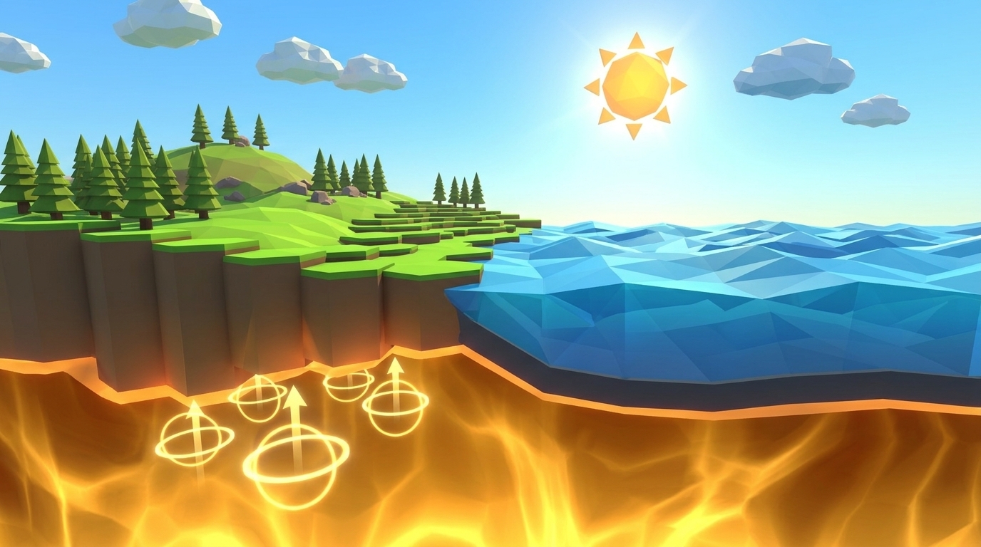
Oceanic crust has an average density of 3.0 g/cm3, whereas continental crust averages only 2.7 g/cm3. Because of this density gap, the oceanic plate always subducts beneath continental crust.
Trench Carving and the Wadati-Benioff Seismic Zone
As the subducting slab flexes downward, it drags the seafloor to create a deep oceanic trench. Deep within the fault plane, friction generates earthquakes along a dipping seismic profile known as the Wadati-Benioff zone.
Flux Melting and Volcanic Arc Ascent
At depths of 80 to 120 km, intense heat and pressure expel water trapped inside the subducting oceanic minerals. This water lowers the melting point of the surrounding mantle, generating magma plumes that erupt as volcanic chains.
In Level 4 of Volcano Island, you can adjust the subduction angle from shallow (flat-slab subduction) to steep (rollback subduction) and observe how trench depth and volcanic arc spacing transform.
Test Subduction Angles in Level 4Flux Melting: How Trapped Seawater Sparks Volcanic Chains
One of the most persistent misconceptions in geology is that subducting slabs melt because the deep Earth is hot. In reality, the descending oceanic slab stays relatively cold for millions of years as it plunges downward.
Instead, volcanic arc magma is produced by an elegant chemical process known as flux melting. Over millions of years on the seafloor, ocean water percolates into basaltic fractures, chemically altering minerals into hydrous compounds like serpentine, chlorite, and amphibole.
When the subducting slab descends past 80 kilometers, escalating pressure and temperature destabilize these hydrated minerals. The rock metamorphoses into anhydrous eclogite, releasing superheated water into the overlying mantle wedge like steam escaping a pressure valve.
In thermodynamics, adding water to hot mantle peridotite acts just like sprinkling salt on winter road ice: it disrupts chemical bonds and sharply lowers the rock melting temperature by 200 to 300 degrees Celsius. The mantle peridotite partially melts into buoyant basaltic and andesitic magma that ascends through the continental crust to feed explosive composite volcanoes.
In your printed Field Geologist Logbook, trace the journey of an H2O molecule from ocean wave to serpentinite mineral crystal, through the subduction zone dehydrator, into the mantle wedge, and out through a stratovolcano steam vent.
Test Convergent Subduction & Trench Formation in 3D
Adjust oceanic plate density, convergence speed, and slab dip angles in our real-time 3D Earth science sandbox. Watch deep oceanic trenches form and trigger volcanic arc eruptions in your browser with zero logins.
Teaching this topic tomorrow? Download the Free NGSS Student Lab Sheet (Printable PDF)
A printable 24-page Earth Science Student Journal featuring subduction zone cross-section templates, slab pull force calculation worksheets, and trench bathymetry charts designed for middle school classrooms.
The Physics of Slab Pull: Earth's Most Powerful Tectonic Engine
For decades, textbooks depicted plate tectonics as simple conveyor belts propelled purely by convective circulation in the mantle. While thermal convection loops provide the necessary heat engine, modern geophysics has demonstrated that slab pull is the dominant mechanical driver of plate motion, contributing up to 90 percent of the total net driving force.
Why is slab pull so dominant? Oceanic lithosphere is created at mid-ocean ridges as thin, hot, buoyant rock. Over 50 to 100 million years of seafloor spreading, the crust cools, contracts, and thickens as upper mantle material freezes to its underside.
By the time old oceanic crust reaches a convergent margin, it is significantly denser than the underlying asthenosphere. Once the leading edge enters the mantle, high-pressure metamorphism converts basalt and gabbro into ultra-dense eclogite (density exceeding 3.4 g/cm3).
This massive dense slab acts as an enormous gravitational anchor, continuously pulling thousands of kilometers of trailing oceanic seafloor behind it into the subduction trench. When a subducting slab breaks off deep in the mantle (slab detachment), the surface plate abruptly decelerates, showing how direct the mechanical coupling is.
In Volcano Island Level 4, toggle the Slab Pull parameter and watch how increasing the age and coldness of oceanic crust speeds up tectonic collision velocity across the entire ocean basin.
Anatomy of Convergent Boundaries: Comparative Geological Features
To understand how different convergent boundaries shape the globe, review this comparative breakdown of tectonic features, seismic signatures, and modern geographical examples:
| Boundary Collision Type | Crustal Interaction | Primary Geological Features | Volcanic Activity | Seismic Hazards | Modern Global Example |
| :--- | :--- | :--- | :--- | :--- | :--- |
| Oceanic-Continental | Dense oceanic basalt subducts under buoyant continental granite | Deep ocean trench, coastal accretionary prism, high volcanic mountain arc | High: Explosive andesitic and dacitic composite stratovolcanoes | Severe: Shallow to deep megathrust earthquakes, destructive tsunamis | Cascade Range & Peru-Chile Trench (Andes) |
| Oceanic-Oceanic | Older, colder oceanic slab subducts beneath younger oceanic lithosphere | Abyssal deep-sea trench, curved chain of volcanic islands (island arc) | High: Basaltic to andesitic island arc stratovolcanoes | Severe: Deep-focus earthquakes along dipping Wadati-Benioff zones | Mariana Trench & Aleutian Island Arc |
| Continental-Continental | Buoyant continental granite collides with buoyant continental granite | Extreme crustal thickening, folded mountain ranges, high plateau | None: Absence of subduction eliminates mantle flux melting | Severe: Shallow, high-magnitude continental thrust earthquakes | Himalayan Mountains & Tibetan Plateau |
Frequently Asked Questions About Convergent Boundaries
Clear, curriculum-aligned answers to common questions middle school teachers, students, and homeschool parents ask about convergent plate boundaries and subduction zones.
What happens at a convergent plate boundary?
What is the deepest subduction zone on Earth?
Why don't continental plates subduct when they collide?
Why does the Pacific Ring of Fire have so many earthquakes and volcanoes?
Related Earth Science Guides and Interactive Laboratories
Continue exploring plate tectonics and planetary physics with our companion curriculum resources:
Learn how new crust is born in our divergent ocean boundaries and seafloor spreading guide.
Discover why continents stay dry while oceans sink in our crustal buoyancy and isostasy simulation lab.
Model mantle convection loops moving the continents in our mantle convection tectonics simulation resource.
Explore deep ocean trenches in our subduction zones and deep trench simulation guide.
Browse our complete inquiry-based earth science homeschool curriculum options.
Free 24-Page Field Geologist Expedition Logbook (Printable PDF)
A printable 24-page Earth Science Student Journal featuring subduction zone cross-section templates, slab pull force calculation worksheets, and trench bathymetry charts designed for middle school classrooms.