The Abyss Beneath the Sea: Earth's Deepest Geological Chasm
If you were to take Mount Everest, the highest peak on our planet standing at 8,848 meters (29,029 feet) above sea level, and invert it into the deepest chasm on Earth, its snow-capped summit would still sit submerged beneath more than two kilometers of pitch-black, freezing saltwater. That deepest point is Challenger Deep in the Mariana Trench, plunging nearly 11,000 meters (almost 36,000 feet or 7 miles) straight down into the Pacific seabed.
Most middle school science students envision the seafloor as a relatively flat, sandy basin gently sloping away from continental shores. In reality, Earth's ocean basins average approximately 3,700 meters in depth, yet along specific convergent boundaries, the crust suddenly drops into knife-like abyssal chasms known to geologists as oceanic trenches. These features belong to the hadal zone, named after Hades, the ancient Greek god of the underworld.
To understand how an ocean trench forms, consider this everyday physical analogy: push a stiff sheet of heavy cardboard forward across a wooden tabletop until it collides with the table's edge and gets pushed underneath. Right at the rim where the two surfaces meet, a steep, dark, V-shaped slot opens up where the cardboard bends downward before disappearing beneath the table. In planetary geology, that cardboard is an ancient, waterlogged sheet of basaltic oceanic crust, and the dark slot along the contact edge is an oceanic trench.
The Anatomy of Subduction: How Ocean Trenches Actually Form
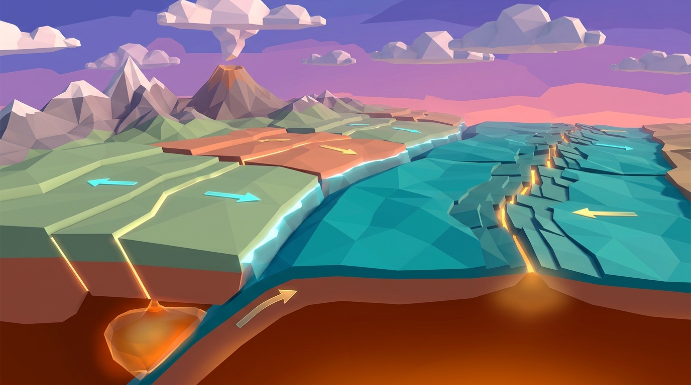
Oceanic trenches do not open up by spontaneous cracking or tectonic pulling. Instead, they are the direct physical consequence of subduction: the dynamic process where one tectonic plate is forced beneath another and driven into Earth's hot mantle asthenosphere. This process unfolds across four continuous physical stages:
1. Aging, Cooling, and Densification of Oceanic Crust: When new basaltic crust is born at divergent mid-ocean ridges, it is hot, buoyant, and elevated above the surrounding sea floor. As the plate slowly migrates outward over tens of millions of years, heat radiates into the frigid bottom water. The basalt cools, contracts, and accumulates a thick under-layer of rigid mantle lithosphere. By the time oceanic lithosphere reaches 50 to 100 million years of age, its density exceeds that of the underlying ductile asthenosphere.
2. Lithospheric Flexure and the Outer Trench Swell: As this cold, dense plate approaches an adjacent tectonic plate, gravitational and compressive forces cause it to buckle downward. Just before bending into the trench, the plate flexes upward into a broad, subtle topographic ridge called an outer trench swell (elevated 200 to 500 meters above the normal ocean basin) before plunging steeply downward at angles ranging from 30 to over 70 degrees.
3. Gravitational Slab Pull: Geologists once debated whether mid-ocean ridge pushing or mantle convection currents served as the primary engine driving plate tectonics. Modern geophysical data confirms that gravitational slab pull provides up to 90% of the net driving force. Because the cold subducting slab is denser than the surrounding mantle, its descending mass acts like a lead weight dragging the remaining thousands of kilometers of surface plate behind it directly into the trench.
4. Accretionary Wedge vs. Subduction Erosion: As the oceanic plate descends, thousands of meters of pelagic sediment, marine clays, and microscopic fossil shells ride atop it. In sediment-rich subduction zones, the overriding plate acts like a massive bulldozer blade, scraping sediment off the descending slab to pile it into a deformed geological mass called an accretionary prism (or accretionary wedge). In sediment-starved trenches, like the Mariana Trench, the descending plate grinds against the overriding plate directly, eroding and carrying fragments of the overriding crust down into the mantle in a process known as tectonic subduction erosion.
The Hadal Realm: Hydrostatic Pressure, Darkness, and Benioff Zones
At the bottom of an oceanic trench, physical conditions rival the hostility of outer space. Hydrostatic water pressure inside Challenger Deep exceeds 1,000 times atmospheric pressure at sea level: more than 15,000 pounds per square inch (psi). This is equivalent to resting the entire weight of an adult African elephant on a postage stamp. At these depths, ordinary metal submarines are crushed like soda cans, and specialized titanium-hulled bathyscaphes must be engineered to withstand the colossal force.
Yet the geological violence within subduction trenches extends far beneath the water column. As the descending oceanic slab slides downward, the contact zone between the two plates remains locked by extreme friction for decades or centuries. As compressive stress mounts, the rocks bend elastically until they fracture, generating mega-thrust earthquakes: the largest earthquakes on planet Earth.
These earthquakes trace a distinct inclined plane dipping into the mantle known as the Wadati-Benioff Zone. Near the trench axis, earthquakes occur at shallow focal depths (0 to 30 kilometers). As you track inland toward the volcanic arc, earthquake epicenters register deeper and deeper, eventually reaching depths of 600 to 700 kilometers beneath the surface. This sloping seismic footprint provided geologists with the first definitive empirical proof that rigid surface plates actually plunge deep into the interior of the mantle.
Furthermore, as the waterlogged oceanic plate descends past 100 kilometers in depth, intense heat and pressure bake seawater out of hydrated hydrous minerals (such as serpentine). This trapped supercritical water rises into the overlying mantle wedge, dramatically lowering the melting temperature of mantle peridotite in a process known as flux melting. The resulting magma rises buoyantly, erupting 100 to 300 kilometers behind the trench to construct explosive volcanic island arcs (such as the Aleutian or Mariana Islands) or towering continental volcanic arcs (such as the South American Andes).
Comparative Analysis: Earth's Major Oceanic Trenches and Hadal Deeps
While the Mariana Trench is the most famous hadal chasm, oceanic trenches encircle much of the Pacific Ocean in a geological horseshoe known as the Ring of Fire. The table below compares the bathymetry, tectonic plates, convergence rates, and volcanic arcs of Earth's most prominent subduction trenches:
| Trench Name | Ocean Basin | Maximum Depth (Meters / Feet) | Converging Tectonic Plates | Convergence Velocity | Associated Volcanic Arc |
|---|---|---|---|---|---|
| Deepest on EarthMariana Trench (Challenger Deep) | Western Pacific | 10,994 m / 36,070 ft | Pacific Plate under Mariana Microplate | ~3.5 cm / year | Mariana Volcanic Island Arc |
| Tonga Trench (Horizon Deep) | Southwestern Pacific | 10,882 m / 35,702 ft | Pacific Plate under Indo-Australian Plate | ~15 to 24 cm / year (fastest on Earth) | Tonga-Kermadec Island Arc |
| Philippine Trench (Emden Deep) | Western Pacific | 10,540 m / 34,580 ft | Philippine Sea Plate under Sunda Plate | ~6.0 to 8.0 cm / year | Philippine Volcanic Archipelago |
| Kuril-Kamchatka Trench | Northwestern Pacific | 10,542 m / 34,587 ft | Pacific Plate under Okhotsk Plate | ~8.0 cm / year | Kuril Islands & Kamchatka Volcanoes |
| Puerto Rico Trench (Milwaukee Deep) | Western North Atlantic | 8,376 m / 27,480 ft | North American Plate under Caribbean Plate | ~2.0 cm / year (oblique subduction) | Lesser Antilles Volcanic Arc |
| Peru-Chile Trench (Richards Deep) | Southeastern Pacific | 8,065 m / 26,460 ft | Nazca Plate under South American Plate | ~6.5 to 7.5 cm / year | Andes Mountain Continental Volcanic Arc |
Simulate Ocean Trench Formation in Interactive 3D
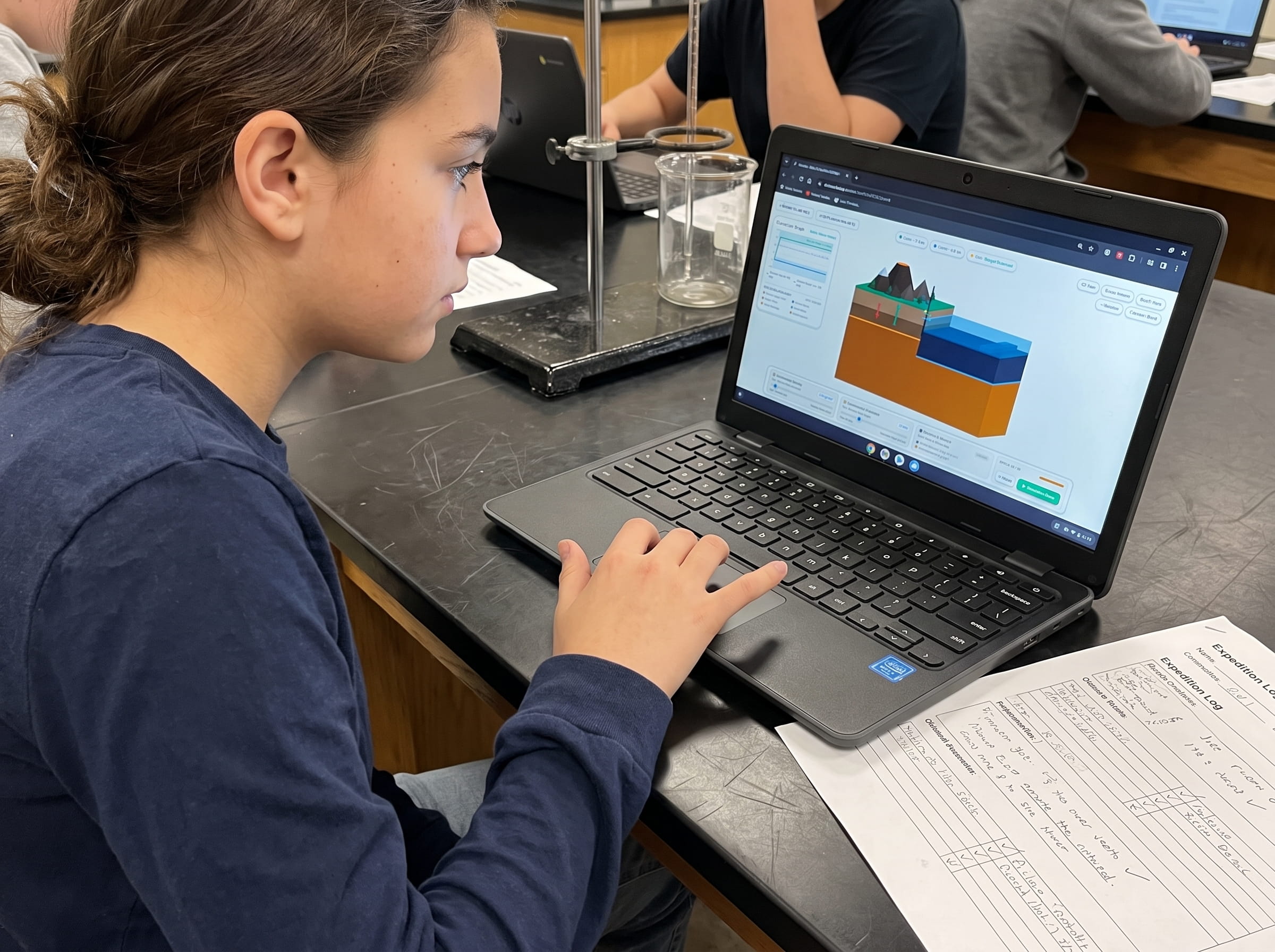
Take manual command of oceanic lithosphere density, convergence velocity, and overriding continental resistance. Watch an oceanic plate buckle downward into an 11,000-meter abyssal abyss and observe volatile-driven magma plumes erupting into volcanic arcs in real time.
Teaching this topic tomorrow? Download the Free NGSS Student Lab Sheet (Printable PDF)
Equip your middle school earth science students with printable bathymetric cross-section worksheets, pressure calculation tables, and NGSS-aligned trench investigation lab sheets.
Hands-On Classroom Inquiry: 4-Step Ocean Trench & Subduction Protocol
When teaching ocean trenches and convergent plate boundaries to middle school and early high school students (NGSS MS-ESS2-2 and MS-ESS2-3), static 2D textbook cross-sections fail to communicate the relationship between plate age, dip angle, and trench bathymetry. When I designed Volcano Island Level 4, I built direct parameter controls so students could test how physical lithospheric variables dictate trench depth:
Formulate Bathymetric Hypotheses
Provide students with ocean bathymetric profile maps. Have them compare the broad, gently sloping continental shelves of the passive Atlantic coastline with the precipitous, cliff-like abyssal plunge of the active Pacific Rim trench lines, formulating hypotheses on why passive margins lack deep trenches.
Manipulate Oceanic Plate Age and Dip Angle in 3D
Launch Volcano Island Level 4 and adjust the Oceanic Lithosphere Age slider. Observe how older, colder slabs (140+ million years old) sink vertically at 70-degree angles to generate profound 11,000-meter trenches (like the Mariana), whereas younger, warmer slabs (25 million years old) resist sinking and subduct at shallow 20-degree angles, creating shallower trenches with intense mountain building (like Peru-Chile).
Map Earthquake Depths Across the Wadati-Benioff Zone
Have students log earthquake hypocenters generated by the subducting plate in the simulation. Plot depth versus horizontal distance from the trench axis to reveal the 45-degree sloping Benioff zone dipping deep beneath the volcanic mountain chain.
Calculate Planetary Crustal Mass Balance
Guide students to synthesize seafloor spreading and subduction into a complete conservation-of-mass model. If mid-ocean ridges produce 3 square kilometers of oceanic crust per year worldwide, how many square kilometers must be devoured in subduction trenches annually to prevent the Earth from expanding?
Frequently Asked Questions About Oceanic Trenches & Subduction
Explore common educator and student questions regarding trench formation, hydrostatic pressure, and hadal zone science:
What is the fundamental difference between an oceanic trench and a mid-ocean ridge?
Why is the Mariana Trench so much deeper than other subduction trenches?
Can living organisms actually survive at the bottom of 10,000-meter ocean trenches?
How do subduction trenches generate catastrophic ocean tsunamis?
Related Earth Science Guides and Interactive Laboratories
Continue expanding your middle school earth science and plate tectonics curriculum with our companion interactive guides:
Explore how colliding plates form mountains and volcanoes in our convergent plate boundaries subduction guide.
See how new ocean floor forms at spreading centers in our divergent boundary seafloor spreading guide.
Learn why magma composition dictates volcanic explosiveness in our magma silica viscosity guide.
Discover the thermal engine driving plate motions in our mantle convection currents guide.
Investigate horizontal shear stress and elastic rebound in our transform fault boundaries guide.
Understand population limits in life science with our carrying capacity simulation guide.
Explore our complete 20-level hands-on Earth science simulation curriculum options.
Download the Free 24-Page Field Geologist Logbook
Equip your middle school earth science students with printable bathymetric cross-section worksheets, pressure calculation tables, and NGSS-aligned trench investigation lab sheets.