The Shearing Frontier: When Tectonic Plates Scrape Side-by-Side
If you stand along the dry, windswept Carrizo Plain in central California, you are looking at one of the most dangerous and scientifically fascinating geological frontiers on Earth: the San Andreas Fault. Beneath your feet, the massive Pacific Plate is grinding northwestward past the North American Plate at roughly 3.5 centimeters per year, the exact speed that human fingernails grow.
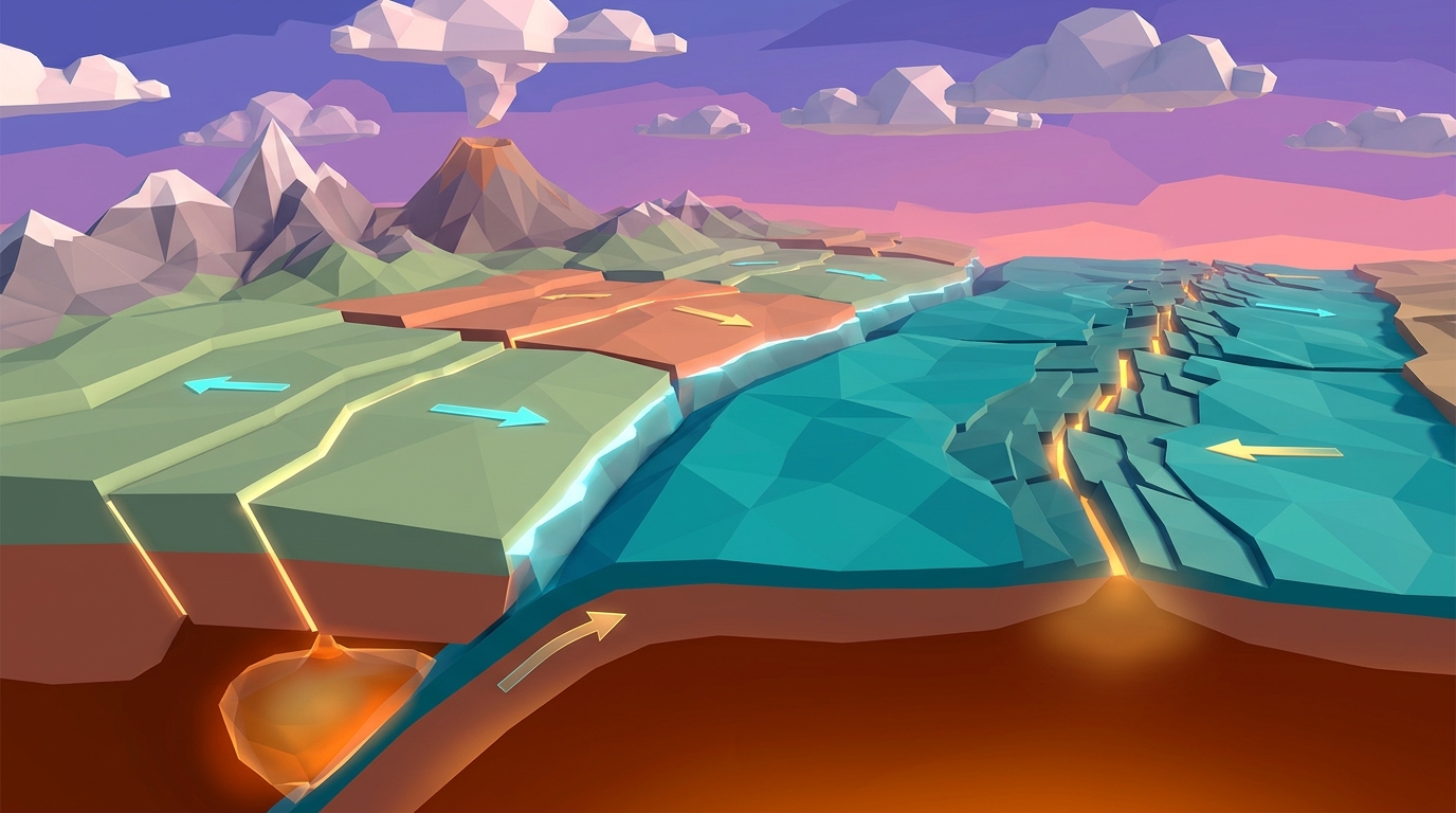
Most plate boundaries are either creative or destructive. Divergent boundaries pull apart to create fresh basaltic oceanic crust; convergent boundaries collide to drag ancient crust downward into the mantle. But transform fault boundaries are conservative: they neither create nor destroy planetary crust. Instead, two rigid lithospheric slabs slide horizontally past each other along near-vertical shear planes.
Think of dragging two heavy blocks of coarse sandpaper past each other. If the surfaces were polished glass, they would slide effortlessly. But because rock faces are rough and jagged, microscopic rock protrusions (known in geophysics as asperities) catch on one another. The boundary locks tight while deep tectonic forces keep pushing from behind. The rock does not break immediately; it bends, flexes, and warps elastically, storing colossal amounts of mechanical energy until the friction suddenly fails in a violent jerk. In physics, this is known as stick-slip behavior.
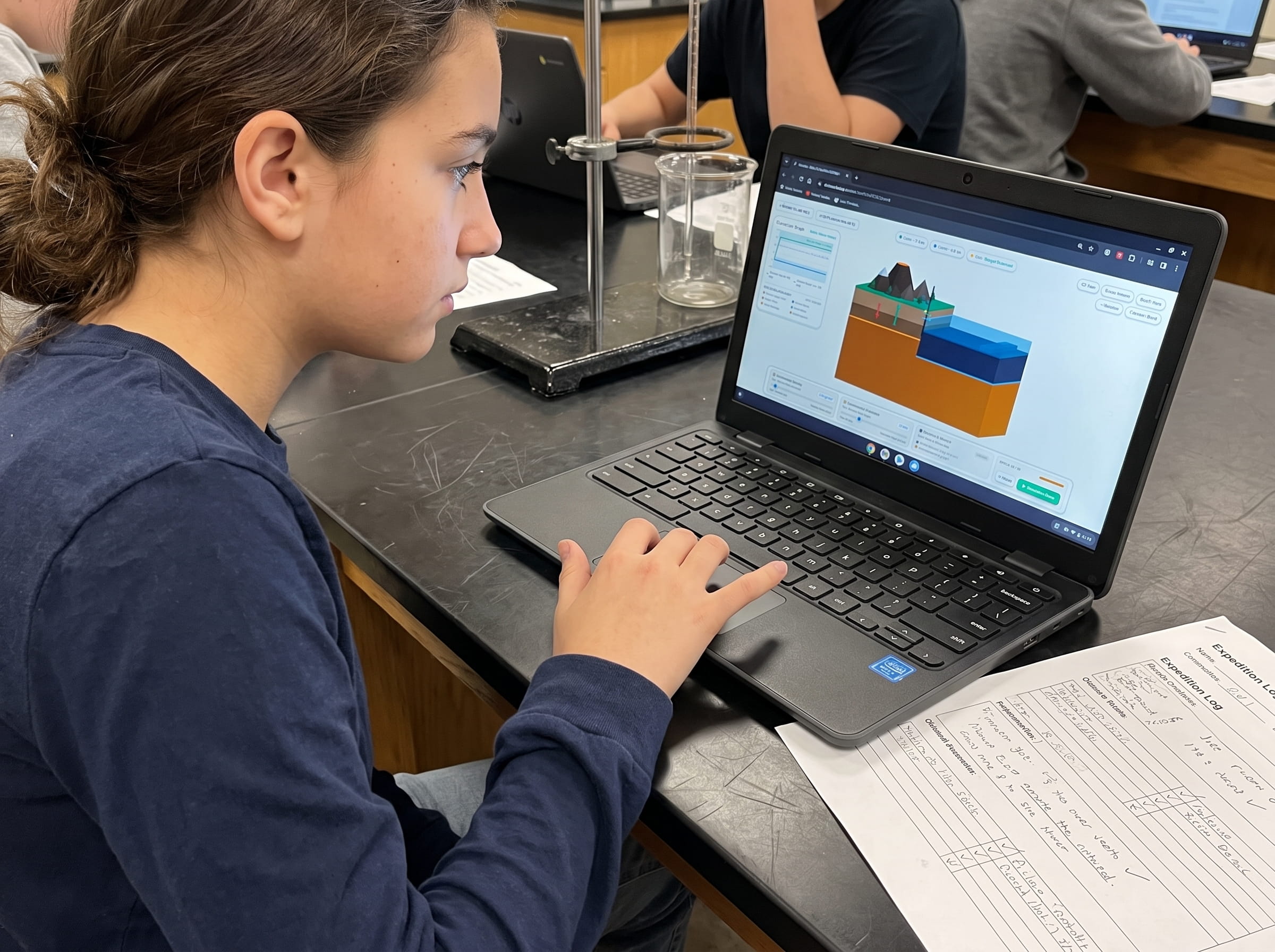
Open Volcano Island Level 11 directly in your browser. Experiment with locked fault asperities and observe how elastic strain builds over centuries before rupturing in a magnitude 7.8 shockwave.
Launch Free 3D Fault Rupture SandboxHarry Fielding Reid and Elastic Rebound Theory: How Rocks Act Like Bowstrings
On April 18, 1906, an enormous magnitude 7.9 earthquake shattered northern California, rupturing nearly 300 miles of the San Andreas Fault and devastating San Francisco. In the months following the catastrophe, American geophysicist Harry Fielding Reid conducted meticulous land surveys across the fault rupture zone.
Reid noticed something extraordinary: fence lines, fruit orchard rows, and country roads that crossed the fault had not merely cracked; they were horizontally offset by up to 21 feet. Furthermore, survey markers placed miles away from the fault had bowed into smooth, curved lines prior to the earthquake and snapped back into straight segments afterward.
From these field observations, Reid formulated Elastic Rebound Theory, the foundational physical law of modern seismology:
1. Frictional Locking: For decades or centuries, frictional resistance along the fault plane is greater than the shear stress driving the plates. The fault interface remains completely locked and motionless.
2. Elastic Strain Accumulation: Regional plate motions continue relentlessly. Because the fault itself cannot move, the crust surrounding the fault warps elastically like an archer's bow being drawn taut. Potential energy builds continuously in the strained rock.
3. Frictional Failure and Rebound: Eventually, accumulated shear stress exceeds the frictional strength of the locked asperities. The fault ruptures catastrophically, slipping several meters in seconds. As the bent rock snaps back to its original unstrained shape, it radiates trillions of joules of stored energy as seismic shockwaves.
Interlocking Asperities Lock the Fault Plane
Microscopic and macroscopic rock roughness along the vertical fault plane binds two tectonic plates together, preventing continuous smooth displacement.
Centuries of Regional Elastic Strain Bending
As plate motion continues at 35 mm/year, straight surface markers (fences, riverbeds) warp into smooth S-shaped curves as the crust stores elastic energy.
Dynamic Rupture and Elastic Rebound
When frictional shear strength is breached, the fault unzips at 3 kilometers per second, offsetting the surface terrain and launching destructive P and S seismic waves.
In Level 11 of Volcano Island, adjust the Rock Shear Modulus and Frictional Resistance sliders to observe how different rock types change the recurrence interval between major earthquakes.
Test Elastic Rebound in Level 11Anatomy of Strike-Slip Faults: Dextral vs. Sinistral Geometry
Geologists classify all strike-slip transform faults into two distinct directional categories based on their relative horizontal motion:
1. Right-Lateral (Dextral) Faults: Imagine you are standing on one side of the fault line looking directly across to the opposite side. If an earthquake occurs and the opposite block moves to your right, the fault is right-lateral (dextral). The San Andreas Fault in California and the North Anatolian Fault in Turkey are prime examples of right-lateral strike-slip systems.
2. Left-Lateral (Sinistral) Faults: If you stand on one side of the fault looking across and the opposite block shifts to your left during an earthquake, the fault is left-lateral (sinistral). The Dead Sea Transform separating the Arabian and African Plates and the Great Glen Fault in Scotland follow left-lateral mechanics.
Over thousands of years of repeated earthquakes, strike-slip motion carves unmistakable surface geomorphology across the landscape. The most famous example is Wallace Creek on California's Carrizo Plain, where an ancient stream channel has been offset by 130 meters (425 feet) through successive San Andreas earthquake ruptures over the last 3,700 years.
Other classic transform landforms include linear fault valleys gouged by pulverized fault gouge rock, sag ponds formed in pull-apart depressions, and shutter ridges where hills are slid directly across drainage channels, damming mountain streams into temporary lakes.
In your printed Field Geologist Logbook, measure the horizontal offset of Wallace Creek from aerial imagery. Divide total displacement (130 m) by carbon-14 dated alluvial age (3,700 years) to calculate average annual slip rate.
Test Fault Friction & Elastic Rebound in Real-Time 3D
Adjust rock friction coefficients, crank up tectonic shear stress, and watch subterranean fault asperities warp before rupturing in a simulated magnitude 7.8 earthquake in our free 3D sandbox.
Teaching this topic tomorrow? Download the Free NGSS Student Lab Sheet (Printable PDF)
A printable 24-page Earth Science Student Journal featuring transform fault offset measurement worksheets, elastic strain accumulation curves, and GPS tectonic velocity calculation keys for middle school classrooms.
Oceanic vs. Continental Transform Faults: Fracturing the Deep Seafloor
While continental transform faults like the San Andreas grab international headlines because they cut through major human population centers, the overwhelming majority of Earth's transform faults lie hidden under thousands of meters of ocean water.
When oceanographers mapped the seafloor in the 1950s, they discovered that mid-ocean ridges are not continuous straight lines. Instead, they resemble jagged staircases, broken every few hundred kilometers into offset segments by perpendicular transform faults.
Why are ocean ridges segmented by transform faults? Earth is a sphere, not a flat plane. When two rigid spherical caps pull apart, spreading velocity varies depending on latitude relative to the pole of rotation. To accommodate differing spreading rates along a curved globe without tearing the crust apart, the lithosphere fractures into parallel oceanic transform faults.
These oceanic transform faults host shallow, frequent earthquakes. Beyond the active spreading ridge crests, the faults transition into fossil fracture zones: inactive scarps that scar the ocean floor for thousands of miles, recording ancient plate motion vectors like fossilized tire tracks across the seabed.
In Volcano Island, switch between Continental and Oceanic transform modes to observe how oceanic fracture zones link offset divergent spreading segments across curved 3D planetary geometry.
Comparative Matrix: The Three Tectonic Boundary Families
Use this comprehensive classroom reference to contrast transform boundaries with divergent and convergent margins across crustal budgets, kinematics, seismic signatures, and volcanic hazards:
| Tectonic Boundary Type | Relative Plate Motion | Crustal Budget | Volcanic Activity | Typical Earthquake Depths | Characteristic Topographic Features | Modern World Example |
| :--- | :--- | :--- | :--- | :--- | :--- | :--- |
| Transform (Conservative) | Horizontal sliding (shear motion) | Conserved (neither created nor destroyed) | Extremely Rare / None (no decompression or flux melting) | Shallow (0 - 20 km deep) along vertical fault planes | Linear valleys, offset streams, sag ponds, shutter ridges | San Andreas Fault (USA), Alpine Fault (New Zealand) |
| Divergent (Constructive) | Moving apart (tensile extension) | Created (new basaltic oceanic crust formed) | High (effusive basaltic fissure eruptions) | Shallow (0 - 10 km deep) along normal faults | Mid-ocean ridges, axial rift valleys, pillow basalt fields | Mid-Atlantic Ridge, East African Rift Valley |
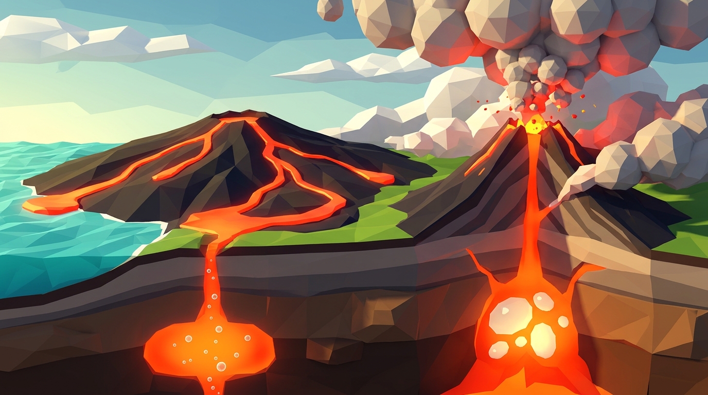
| Convergent (Destructive) | Colliding together (compression) | Destroyed (oceanic slabs subduct into mantle) | High (explosive andesitic stratovolcanoes) | Shallow to Ultra-Deep (0 - 700 km) Wadati-Benioff zones | Deep ocean trenches, volcanic island arcs, folded mountains | Mariana Trench, Andes Mountains, Himalayan Range |
Frequently Asked Questions About Transform Fault Boundaries
Direct, curriculum-aligned answers to common questions middle school teachers, students, and homeschool parents ask about transform faults and strike-slip earthquakes.
Why don't transform fault boundaries produce volcanoes?
Will California eventually fall into the Pacific Ocean?
What is the difference between a locked fault and a creeping fault?
What is a sag pond along a transform fault?
Related Earth Science Guides and Interactive Laboratories
Continue expanding your middle school Earth science curriculum with our companion interactive guides:
Explore how plates pull apart to create seafloor in our divergent ocean boundaries and spreading centers guide.
Discover why continents collide in our convergent plate boundary and subduction guide.
Understand how rocks melt and transform in our rock cycle interactive middle school guide.
Learn why silica changes magma explosions in our magma silica viscosity and eruption types explainer.
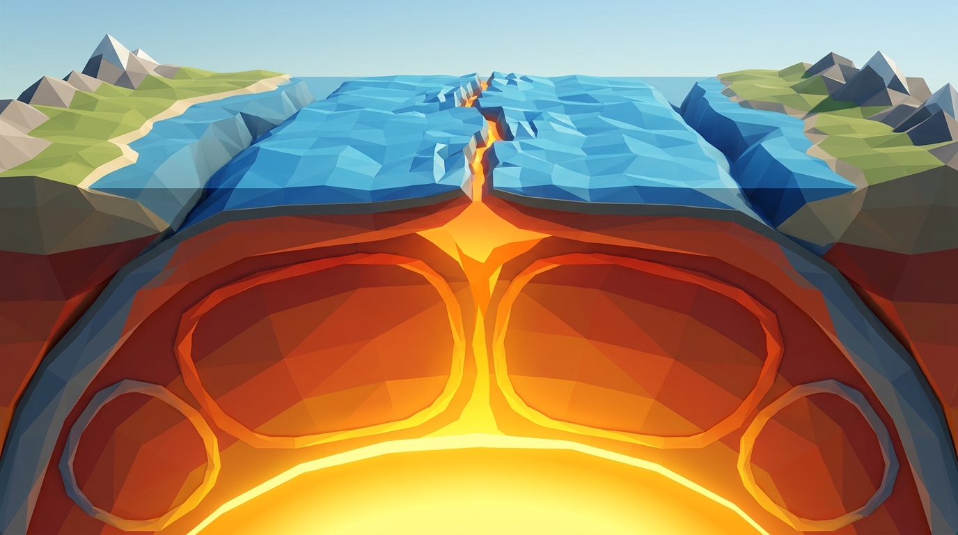
Model mantle thermal loops moving tectonic plates in our mantle convection currents guide.
Explore our complete inquiry-based earth science homeschool curriculum options.
Free 24-Page Field Geologist Expedition Logbook (Printable PDF)
A printable 24-page Earth Science Student Journal featuring transform fault offset measurement worksheets, elastic strain accumulation curves, and GPS tectonic velocity calculation keys for middle school classrooms.