The Disappearing Mountain: How Mount Mazama Vanished Into Thin Air
In the Cascade Mountain Range of southern Oregon rests Crater Lake: the deepest, clearest freshwater lake in the United States. Its water is a vivid, blinding sapphire blue, held within a colossal circular bowl of vertical 2,000-foot cliff walls. At 594 meters (1,949 feet) deep, the Empire State Building could sink beneath its surface with room to spare.
Yet if you stood on that identical spot 7,700 years ago, you would not see a lake. In its place stood Mount Mazama: a majestic, glacier-clad composite stratovolcano soaring 3,700 meters (12,000 feet) into the sky, towering over the Oregon wilderness like Mount Rainier.
Then, over a catastrophic three-day cataclysm, Mount Mazama vanished from the face of the Earth.
For centuries, early explorers assumed that a colossal explosion of cosmic proportions blasted the upper mile of the mountain into smithereens. When modern geologists mapped the surrounding valleys, however, they discovered an astonishing mystery: the shattered rock debris from Mount Mazama's missing summit was completely absent. The mountain was never blown into the sky; it collapsed inward into its own emptied belly.
Volcanic craters are small bowls (under 1 km wide) blasted outward by exploding gas vents. Calderas are colossal basins (5 to 50 km wide) created when an entire mountain falls inward into an empty subterranean magma cavern.
Structural Geomechanics: Hydrostatic Pressure, Rock Arches, and Ring Fractures
Why do mountains stand for millions of years without collapsing? The answer is hydraulic equilibrium.
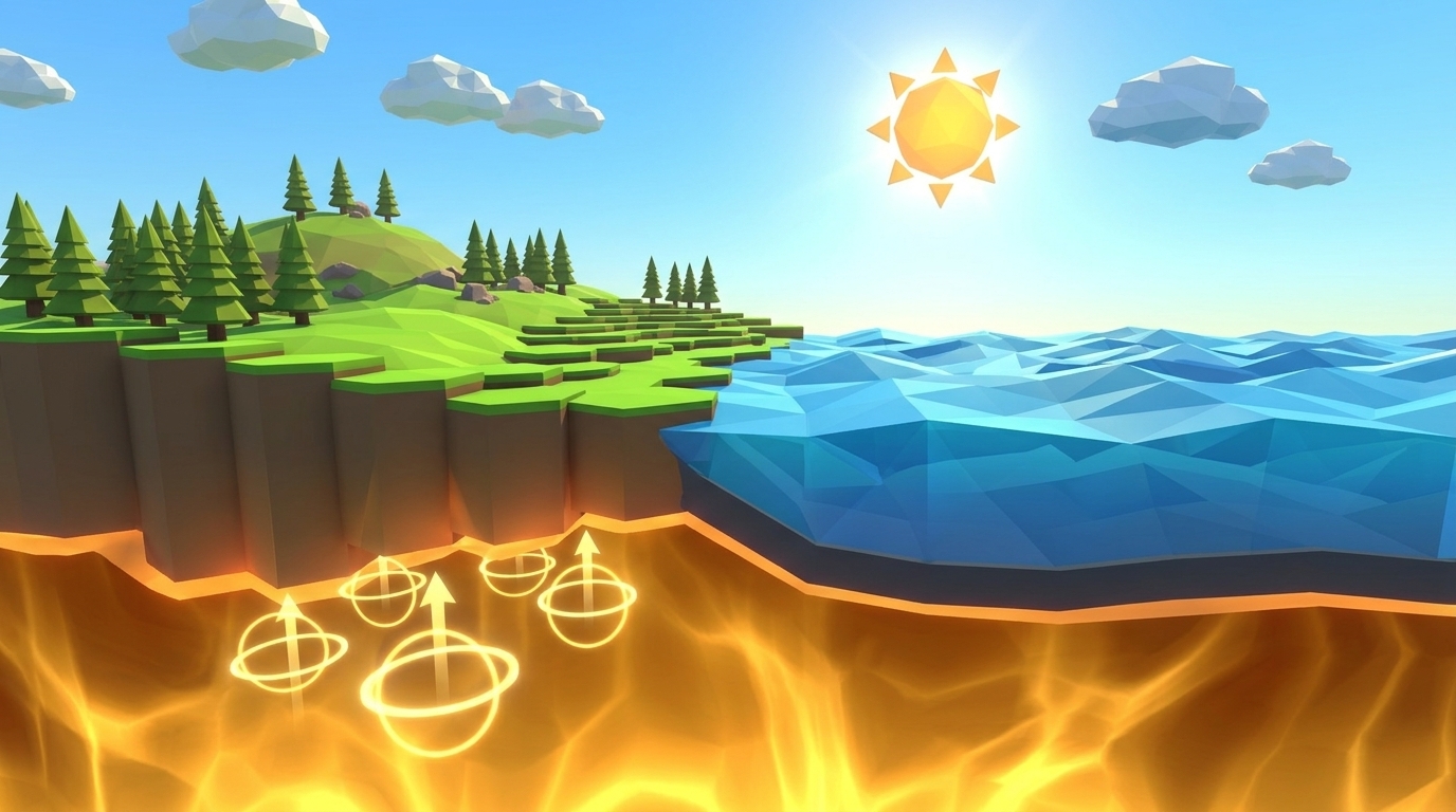
As explored in Level 5, an active magma chamber acts like a pressurized hydraulic cushion. The liquid melt stored beneath the crust pushes outward against the surrounding stone, exerting an upward hydraulic force that counterbalances the colossal downward weight (lithostatic overburden) of the mountain above.
During an ultra-plinian eruption (explored in Level 8), that balance is violently destroyed. Molten rock evacuates through conduits at rates exceeding 2,500 cubic meters per second. In less than 48 hours, over 50 cubic kilometers of magma is blasted into the sky, leaving behind a gargantuan subterranean cavern: the empty void.
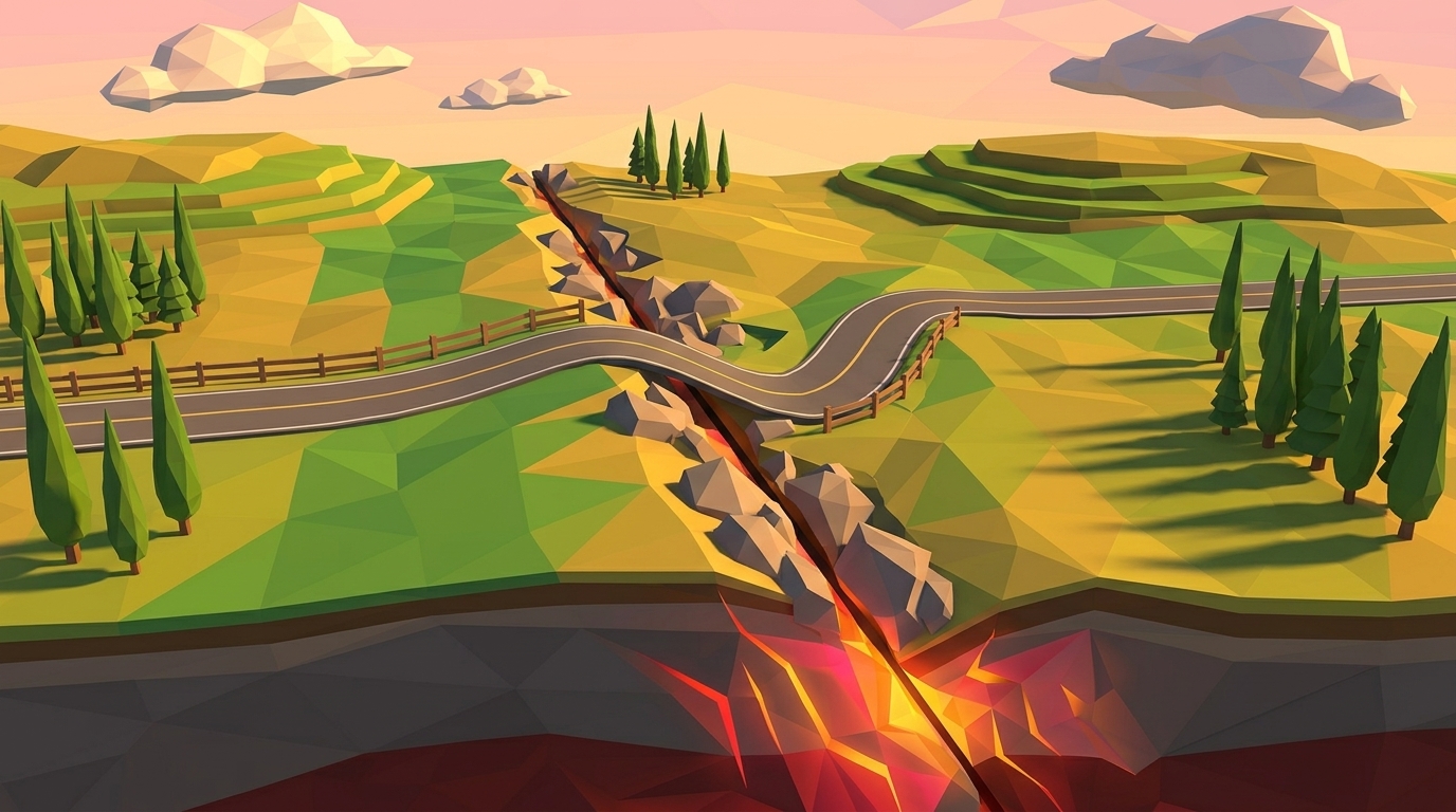
With the liquid foundation gone, the roof of the chamber must support its own weight as a rock arch. But solid rock is strong under compression and remarkably weak under tensile shear stress. When the roof is thinned by erosion or fractures, the rock ceiling snaps along circular fault boundaries called ring fractures (or ring faults).
The entire summit block drops along these circular shear planes like a massive stone piston, plunging 1 to 2 kilometers downward into the void. This dramatic gravitational subsidence creates the sheer vertical walls of a caldera basin.
| Caldera Name | Location | Collapse Date | Caldera Diameter | Subsidence Depth | Evacuated Volume | Present Landform |
|---|---|---|---|---|---|---|
| LEVEL 09 LAB FOCUSCrater Lake (Mount Mazama) | Oregon, USA | 5700 BCE (~7,700 BP) | 8.0 km × 9.5 km | 1.2 km (4,000 ft) | 50 km³ | Deep sapphire freshwater lake with Wizard Island cinder cone |
| SUBMERGED CALDERASantorini Caldera | Aegean Sea, Greece | 1600 BCE (Minoan) | 12.0 km × 7.0 km | 0.4 km below sea | 60 km³ | Flooded sea lagoon with sheer whitewashed cliff towns |
| TSUNAMI PRODUCERKrakatoa Caldera | Sunda Strait, Indonesia | 1883 CE | 7.0 km circular | 0.3 km below sea | 25 km³ | Underwater basin with emergent Anak Krakatau volcano |
| SUPERVOLCANOYellowstone Caldera | Wyoming, USA | 640,000 BCE | 72.0 km × 45.0 km | 0.8 km basin | 1,000 km³ | Continental supervolcano plateau with geysers and mudpots |
The Four Stages of Caldera Birth: From Swelling to Sapphire Lake
In our 3D simulation, students observe and control the four evolutionary stages of a caldera lifecycle:
Stage 1 (Pre-Eruption Swelling & Ring Cracking): Tens of cubic kilometers of volatile-rich magma recharge the upper chamber, causing the ground above to inflate like a blister. Circular tension cracks form at the surface directly above the perimeter of the magma chamber.
Stage 2 (Climactic Evacuation & Ring Vent Eruptions): Decompression triggers explosive gas exsolution. Plinian columns erupt not only from the central summit vent, but simultaneously from dozens of circular vents along the ring fracture zone, rapidly draining the reservoir.
Stage 3 (Piston Subsidence & Structural Collapse): As the chamber empties, the unsupported roof loses all hydraulic lift. Ring faults shear through the crust and the central mountain summit crashes downward as a single cohesive piston block, creating a steep-sided caldera bowl.
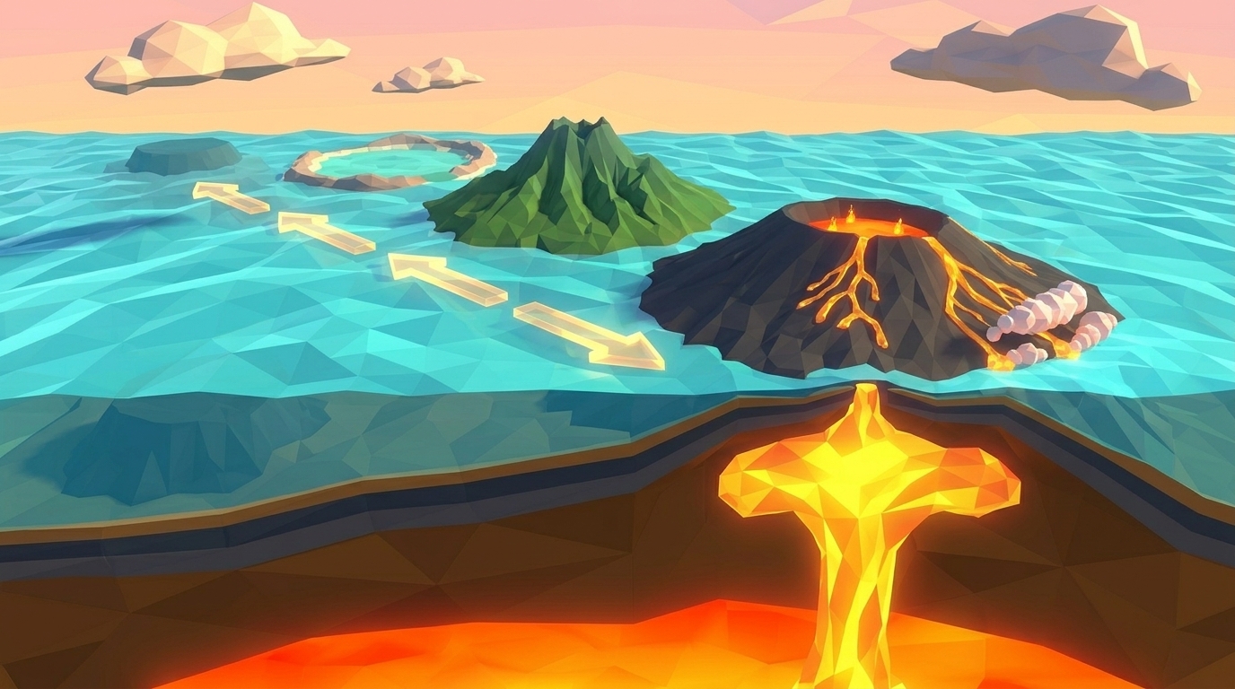
Stage 4 (Resurgent Volcanism & Crater Lake Filling): Deep subterranean magma recharges on a smaller scale, extruding resurgent lava domes or small cinder cones (such as Wizard Island in Crater Lake). Because calderas have no natural river outlets, thousands of years of rain and snowmelt collect in the sealed stone basin, creating an ultra-pure alpine lake.
Crater Lake has no rivers flowing into it and no rivers flowing out. The lake level is maintained solely by a balance between annual precipitation (rain and 43 feet of snow) and natural seepage and evaporation.
Collapse a 7-Kilometer Caldera Basin & Birth a Crater Lake in 3D
Calibrate Chamber Evacuation Rate, Roof Overburden Thickness, and Ring Fault Friction in our real-time cutaway diorama. Drain the subterranean magma reservoir to trigger piston subsidence and drop a circular caldera bowl that fills with crystal blue water. Zero sign-up, instant browser play.
The Mechanics of Level 09: Triggering a 7-Kilometer Caldera Collapse in Real-Time 3D
In Level 09 of the Praxos Volcano Island laboratory (Caldera Collapse), students take charge of an active magma reservoir beneath a 3.5-kilometer composite stratovolcano.
Students calibrate three structural and fluid mechanics controls:
1. Chamber Evacuation Rate: Adjustable from 100 to 5,000 m³/s (defaulting to a slow 200 m³/s).
2. Roof Overburden Thickness: Adjustable from 1.0 to 8.0 km (defaulting to a thick, rigid 7.0 km).
3. Ring Fault Friction: Adjustable from 0.0 to 1.0 (defaulting to a high friction value of 0.90 / 90%).
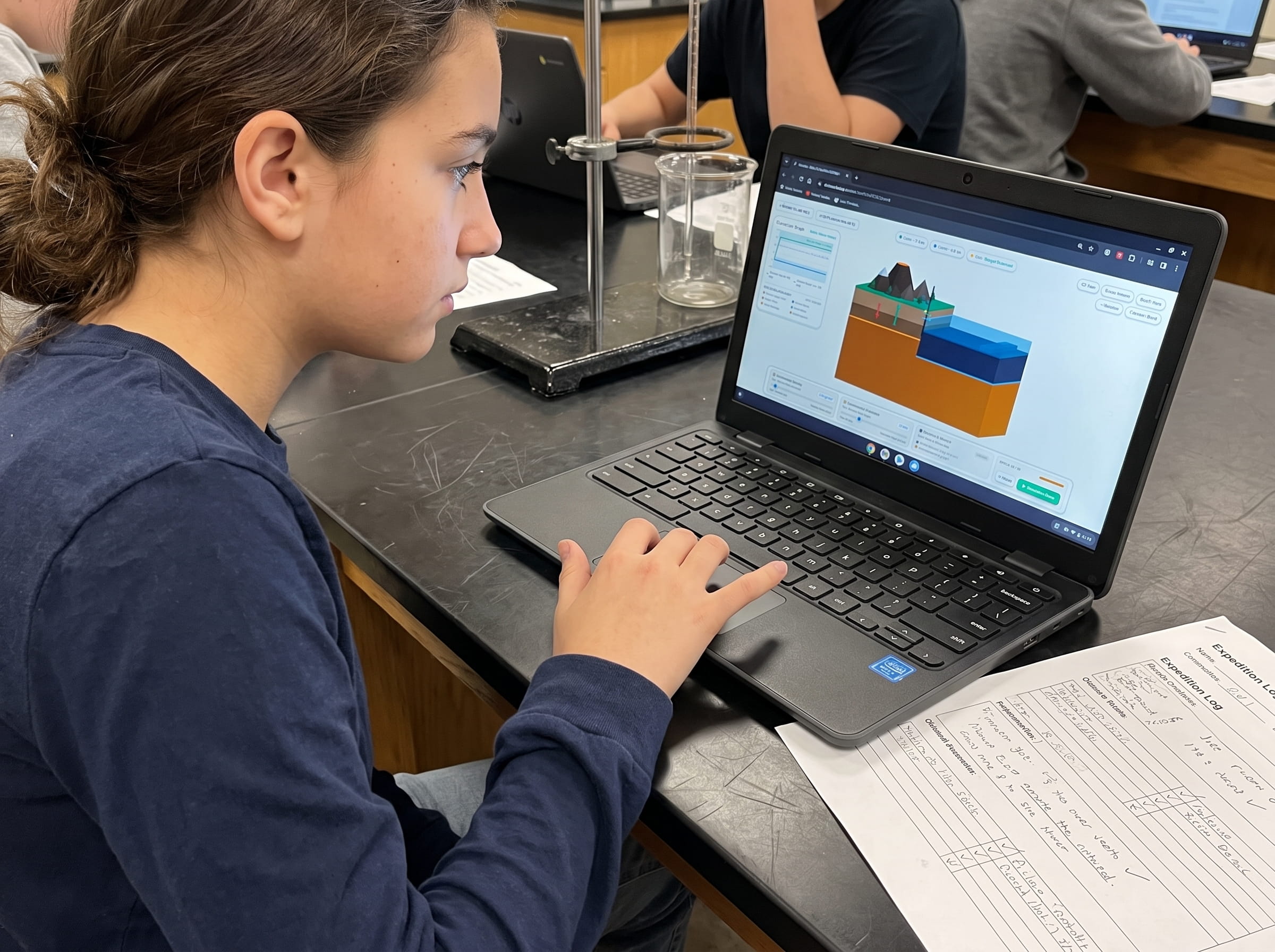
A synchronized live 2D telemetry chart plots Chamber Void Evacuated Volume (km³, orange curve) against Summit Subsidence Depth (km downward collapse, dark blue curve).
If students leave the default settings unchanged (7.0 km roof thickness and 90% friction), the thick stone ceiling forms a rigid compressive arch: even as magma drains away, the roof bridge refuses to collapse, failing the subsidence requirement. Conversely, if evacuation is cranked to 5,000 m³/s with a paper-thin 1 km roof and zero friction, the catastrophic collapse shatters the entire island structure below sea level.
At Epoch 25, a dynamic event occurs: a Ring Fracture Rupture pulse. Circular glowing fault planes fracture through the crust. To master Level 9, students must increase the Chamber Evacuation Rate to 2,600 m³/s, reduce Roof Thickness to 3.0 km, and lower Ring Fault Friction to 0.30. At Epoch 25, the central summit drops cleanly by 1.4 kilometers, carving a symmetrical 7.2-kilometer caldera bowl that fills with crystal blue water across 50 simulation epochs.
Before launching the simulation run, students formulate and test one of three structured inquiry hypotheses:
Hypothesis A: The Symmetrical Ring Collapse (Hydrostatic Failure)
Calibrate Chamber Evacuation Rate to 2,600 m³/s, thin Roof Overburden to 3.0 km, and lower Ring Friction to 0.30. Rapid loss of hydraulic support causes the summit to drop smoothly along ring faults, forming a pristine 7.2 km circular caldera lake basin.
Hypothesis B: The Floating Mountain Myth (Structural Bridge Lock)
Leave Roof Overburden at 7.0 km with Ring Friction at 0.90. The massive rock arch resists downward gravity despite magma evacuation, resulting in zero collapse and failing the caldera formation criteria.
Hypothesis C: The Island Shatter Catastrophe (Over-Excavation)
Set Chamber Evacuation to 5,000 m³/s with a 1.0 km roof and 0% friction. Overwhelming void collapse shatters the entire volcanic island below sea level, destroying the subaerial lake basin.
Collapse an entire volcanic summit into an empty magma void in your browser. Trigger ring fractures and birth an alpine crater lake in real-time 3D.
Launch Free Level 1 Volcano SimulationThe Dual-Format Advantage: Calculating Evacuated Void vs. Lake Volume on Paper First
Why does Praxos require students to complete printed journal calculations alongside digital simulation runs? Because calculating subterranean mass balances by hand develops deep physical intuition about conservation of volume.
In our dual-format Earth Science curriculum, students open their printable Volcano Island Expedition Science Journal to Mission 09. Students are guided through a hands-on volumetric analysis comparing the pre-eruption mountain summit, the evacuated magma volume, and the final sunken caldera basin.
Using simplified geometric formulas for cylinders and cones, students calculate the volume of a 7-kilometer-wide, 1.4-kilometer-deep caldera depression ($V approx 53.8 ext{ km}^3$). Students compare this calculated void to the recorded magma ejecta volume of Mount Mazama (50 km³ of magma, which expanded into 120 km³ of porous pumice and ash). Calculating this close volumetric alignment proves to students that the missing mountain is resting directly on the caldera floor, buried beneath the deep blue waters of the lake.
Prompt for students: Using your volumetric calculations, explain why the volume of a caldera lake basin is slightly smaller than the total volume of ash and pumice blown into the sky. How does gas expansion in volcanic rock explain this difference?
Frequently Asked Questions About Calderas and Level 09
Answers to common questions from middle school science educators, homeschool parents, and students exploring volcanic geomorphology and caldera collapses.
What is the main difference between a volcanic crater and a caldera?
Is the Yellowstone supervolcano a caldera?
How long did it take for Crater Lake in Oregon to fill with water?
What is the exact win condition for Volcano Island Level 9?
How does Level 9 lead into Level 10 (The Hotspot Chain)?
Related Earth Science Units & Simulation Lab Resources
Continue your middle school Earth and Space science exploration with these curriculum-aligned resources:
Review crustal buoyancy in our crustal buoyancy isostasy simulation Level 1 guide.
Explore deep thermal circulation in our mantle convection tectonics simulation Level 2 guide.
Discover seafloor spreading in our seafloor spreading divergent boundary simulation Level 3 lab.
Investigate subduction abysses in our subduction zones deep trench simulation Level 4 article.
Explore subterranean magma generation in our flux melting magma chamber simulation Level 5 guide.
Study effusive basalt rivers in our shield volcano basaltic lava simulation Level 6 lab.
Examine viscous composite cones in our composite volcano silica viscosity simulation Level 7 guide.
Model supersonic gas decompression in our volcanic eruption plume gas simulation Level 8 guide.
Model mantle plumes and island chains in our hotspot island chain mantle plume simulation Level 10 guide.
Review complete homeschool science options in our earth science homeschool curriculum guide.
Set up student accounts with zero student logins on our educator dashboard.
24 pages of printable isostatic buoyancy calculation tables, paleomagnetic zebra stripe rulers, and seismogram triangulation exercises designed for grades 4 to 8.
DOWNLOAD EXPEDITION LOGBOOK (PDF)Level 9 Caldera Subsidence & Crater Lake Journal (PDF)
A printable 24-page Volcano Island Expedition Science Journal featuring structured pre-run inquiry hypotheses, 4-stage caldera evolution sequencing diagrams, and evacuated void vs lake volume calculation worksheets.