The Blowtorch and the Moving Sheet: Resolving the Mystery of Intraplate Volcanoes
In standard plate tectonic theory, volcanism is tightly confined to plate margins. Magma wells up along divergent seafloor rifts like the Mid-Atlantic Ridge or erupts violently above subducting oceanic slabs along the Pacific Ring of Fire. For decades, however, a glaring geological puzzle baffled scientists: why do some of the planet's most colossal volcanoes erupt in the absolute dead center of tectonic plates, thousands of kilometers from any boundary?
The Hawaiian archipelago sits isolated in the middle of the immense Pacific Plate. Yellowstone bubbles and blasts in the continental interior of North America. In 1963, Canadian geophysicist J. Tuzo Wilson proposed a revolutionary concept: narrow, persistent columns of buoyant, extraordinarily hot rock rise from deep within Earth's lower mantle. In 1971, W. Jason Morgan demonstrated that these mantle plumes remain nearly stationary relative to Earth's deep interior over periods of 50 to 100 million years.
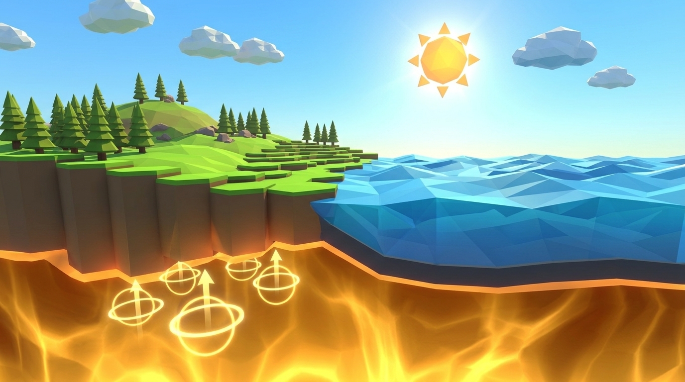
To visualize this mechanism, imagine holding a lit butane lighter completely motionless beneath a moving strip of cardboard. As the cardboard slides forward, the stationary flame scorches a progressive row of distinct burn marks across its surface. The flame never moves; the cardboard moves across it. In the Pacific Ocean, a stationary thermal plume anchored at the core-mantle boundary (the D'' layer, 2,900 kilometers deep) burns through the drifting Pacific Plate, building an active shield volcano, moving the cooled crust along, and forging the next island in sequence.
In Level 10 of Volcano Island, students take control of this planetary conveyor belt. By calibrating plate speed, drift direction, and thermal plume intensity, students witness the emergence of an aligned island archipelago and unlock the foundational principles of intraplate volcanism.
The Three Control Variables: Calibrating Plate Drift & Thermal Plumes in Level 10
Mastering Level 10 requires students to balance thermal energy input against mechanical lateral transport. The interactive 3D laboratory exposes three core variables:
| Simulation Variable | Unit / Range | Baseline / Novice Setting | Intended Target Window | Physical Effect in 3D Engine |
|---|---|---|---|---|
| Plate Velocity | 1.0 to 15.0 cm/year | 1.0 cm/year (Default) | 7.5 to 8.5 cm/year (Target: 8.0) | Controls the lateral transit rate of the oceanic plate over the plume. Low values fuse lava into a single monster island; high values disperse magma before it breaches sea level. |
| Drift Heading | 0 to 360 degrees | 0 degrees (Due North) | 295 to 305 degrees (Target: 300 Northwest) | Establishes the directional vector of tectonic drift across the oceanic basin, replicating the authentic modern trajectory of the Pacific Plate. |
| Mantle Plume Heat Intensity | 10% to 100% | 20% (Default) | 65% to 75% (Target: 70%) | Determines the volume flux of buoyant basaltic magma ascending through the lithosphere and the degree of thermal swell uplifting the seabed. |
The Four Stages of Island Aging: Darwin's Subsidence Model in 3D
In 1842, naturalist Charles Darwin published a landmark theory explaining how volcanic islands transform into coral atolls over geological epochs. As tectonic drift carries volcanic crust away from a hotspot, the underlying lithosphere cools, contracts, and increases in density. This isostatic subsidence, paired with relentless wave action and rainfall erosion, drives an island through four distinct evolutionary phases:
Stage 1: Active Shield Volcano (e.g., Kilauea, Mauna Loa & Kama'ehuakanaloa)
Continuous basaltic magma supply directly above the mantle plume
Positioned squarely above the thermal plume, the island experiences vigorous effusive volcanism. Fluid, low-silica basaltic lava builds a broad, gently sloping shield volcano with active summit calderas, glowing pit craters, and continuous shoreline lava delta creation. Crustal buoyancy is boosted by thermal uplift from the hot mantle below.
- ✓Zero million years old; 100% active volcanism
- ✓Thermal expansion creates elevated seabed swell
- ✓Frequent pahoehoe and a'a lava flows enlarge island area
- ✓Fringing coral reefs just beginning to nucleate along shallow edges
Stage 2: Extinct Rainforest Mountain (e.g., Maui & Oahu)
Loss of magma source paired with aggressive tropical weathering
Carried 150 to 350 kilometers northwest of the hotspot, the island is completely severed from its mantle conduit. Volcanic activity terminates. High trade-wind precipitation carves razor-sharp knife ridges, amphitheater canyons, and deep dendritic river valleys into the basalt. The volcano enters an irreversible erosional and cooling decline.
- ✓1 to 3 million years old; extinct or dormant volcanic centers
- ✓Precipitation carves steep jagged fluted pali cliffs
- ✓Dense tropical rainforest covers mineral-rich basaltic soils
- ✓Lithosphere begins isostatic sinking as thermal heat dissipates
Stage 3: Subsiding Coral Atoll (e.g., Midway Atoll & French Frigate Shoals)
Isostatic subsidence where coral growth matches sinking rates
As millions of years pass, the cooling oceanic lithosphere sinks deeper into the asthenosphere. The original volcanic summit subsides below sea level. However, reef-building photosynthetic corals grow upward toward the sunlight at a rate equal to or faster than the subsidence rate, creating a circular ring of coral sand cays encircling a tranquil turquoise lagoon.
- ✓15 to 30 million years old; basalt core completely submerged
- ✓Ring-shaped biogenic limestone reef sustains sandy cays
- ✓Central lagoon averages 10 to 30 meters depth
- ✓Midway and Laysan provide vital sanctuary for pelagic seabirds
Stage 4: Submerged Guyot (e.g., The Emperor Seamounts)
Final migration into cold waters and subduction trenches
Eventually, plate motion carries the atoll into colder sub-polar waters where coral growth can no longer survive the sinking rate, or thermal contraction sinks the summit below the photic zone. Ocean storm waves shear off the limestone top, producing a flat-topped submarine mountain known as a guyot. The guyot journeys into the abyssal plain, destined to be consumed in a subduction trench.
- ✓45 to 80 million years old; submerged 1 to 2 kilometers underwater
- ✓Flat-topped tablemount morphology created by ancient wave truncation
- ✓Deep-sea biodiversity hot spots supporting cold-water coral gardens
- ✓Ultimate destination: subduction into the Aleutian Trench
Engineer an Aligned 4-Island Archipelago Across a Deep Mantle Plume in 3D
Calibrate Oceanic Plate Velocity, Drift Heading, and Mantle Plume Heat Intensity in our real-time 3D ocean diorama. Guide the Pacific plate across a stationary thermal plume to forge an authentic Hawaiian-style island chain with an active shield, eroded rainforest peaks, and coral atolls. Zero sign-up, instant browser play.
The Speedometer of Tectonics: Calculating Plate Velocity from Island Spacing
Before the discovery of mantle hotspots, geologists knew tectonic plates moved, but calculating their exact absolute velocity was nearly impossible. Hotspot tracks transformed geology by providing an unmoving cosmic clock and stationary odometer anchored in Earth's deep mantle.
Because the plume position remains fixed while the crust glides above it, the distance between any two extinct islands divided by the difference in their radiometric rock ages yields the exact average velocity of the tectonic plate:
Velocity = Distance / Time Difference (v = Delta d / Delta t)
Consider the real-world Hawaiian track: radiometric potassium-argon dating of basalt on Kauai reveals an age of 5.1 million years, and Kauai sits roughly 500 kilometers northwest of Kilauea on the Big Island of Hawaii (age 0 million years). Calculating the velocity:
v = 500 km / 5.1 Ma = 50,000,000 cm / 5,100,000 years = 9.8 cm/year
This empirical calculation matches satellite GPS measurements within millimeters per year, confirming that the Pacific Plate travels northwest at roughly the same rate human fingernails grow. Furthermore, the famous 60-degree bend between the Hawaiian Chain and the older Emperor Seamount Chain preserves a historic planetary event: roughly 47 million years ago, a massive plate reorganization abruptly shifted Pacific Plate motion from due north to northwest.
Systems Thinking & Ormanci Competency: Reference Frame Motion
Level 10 targets the Ormanci (2026) systems thinking competency: Reference Frame Motion (Stationary Inflow vs. Moving Coordinate System). In standard physics and geology curricula, students routinely struggle with relative motion concepts when both stationary sources and moving media interact.
When middle school students look at a map of Hawaii, over 70% intuitively assume that the volcanic magma chamber is swimming across the seafloor, migrating eastward from Kauai toward Maui and Hawaii. This misconception stems from an egocentric terrestrial reference frame: students anchor their perception to the ocean surface and assume the volcano moves.
In Level 10, the real-time 3D diorama splits the visual field into two transparent layers: a fixed subterranean thermal mantle plume anchored at the bottom of the screen, and a moving oceanic plate sliding laterally across the top. As students manipulate plate speed and observe new volcanic islands popping up sequentially over the motionless plume, their mental model recalibrates from a moving source to dynamic coordinate transport.
Common Student Misconceptions in Middle School Geology
When introducing hotspot island chains, educators frequently encounter three persistent conceptual hurdles:
1. Misconception: "Hotspots wander randomly under the crust like a bouncing tennis ball." Reality: Seismic tomography proves mantle plumes are rooted deep at the core-mantle boundary (2,900 km depth) in the D'' layer. They remain remarkably stationary relative to one another for tens of millions of years, acting as fixed reference markers for the entire planet.
2. Misconception: "All islands in an archipelago erupt at the same time." Reality: Only the island currently situated directly over the mantle plume exhibits active eruptive volcanism. Older islands like Kauai or Oahu are extinct because plate drift has carried their magma conduits hundreds of kilometers away from the plume.
3. Misconception: "Island chains mean there are ten separate magma chambers lined up beneath the seabed." Reality: There is only one active mantle plume feeding the system at any given epoch. The islands represent a chronological fossil trail of where the plate was located when it paused over that solitary thermal source.
Teacher Lesson Plan: The 45-Minute Cardboard Hotspot Lab
This structured lesson plan connects hands-on kinesthetic modeling with digital simulation in the Praxos Volcano Island laboratory:
Kinesthetic Analogy: The Cardboard & Flashlight Exercise (5 mins)
Place a stationary flashlight pointing straight up from a desk representing the mantle plume. Have a student slide a sheet of black construction paper slowly over the beam while a classmate marks the illuminated spot with white chalk every three seconds. Point out that the flashlight never moved, yet a straight line of dots formed on the moving paper.
Pre-Run Hypotheses & Speedometer Predictions (10 mins)
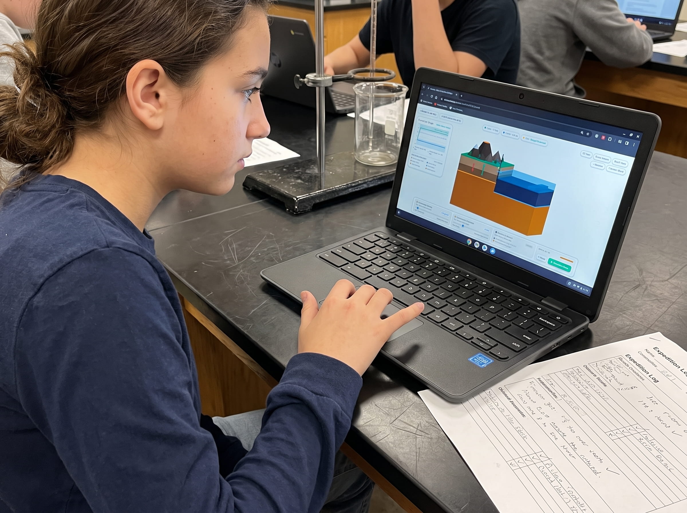
Have students open Level 10 on classroom Chromebooks or tablets. Prompt them to record their pre-run hypothesis: What happens if plate velocity is too slow (1 cm/yr)? What happens if plate velocity is too fast (15 cm/yr)? How will changing the drift angle alter the orientation of the island chain?
Interactive Parameter Calibration in Volcano Island (20 mins)
Students calibrate Plate Velocity to 8.0 cm/year, Drift Heading to 300 degrees (Northwest), and Mantle Plume Heat Intensity to 70%. Over 60 simulation epochs, they observe the sequential birth, drift, erosion, and subsidence of 4 distinct volcanic landforms.
Mathematical Speed Calculation & Field Logbook Synthesis (10 mins)
Using simulated epoch timers and distance rulers in the game, students apply v = Delta d / Delta t to compute the exact speed of their digital oceanic plate. They sketch the 4 island stages in their printed expedition logbook.
Testing Handbook & Cheat Sheet: How to Clear Level 10
If students struggle to achieve the 4-island archipelago benchmark, verify their simulation engine parameters using this calibrated handbook:
Engine Configuration: Ocean Basin Width: 300 km | Plume Radius: 25 km stationary | Target Epochs: 60 epochs.
Winning Calibration Parameters:
Plate Velocity: Set slider to exactly 7.5 to 8.5 cm/year (Target: 8.0 cm/year). At this rate, each island spends roughly 15 epochs directly over the plume before migrating northwest, giving it sufficient time to breach sea level without fusing into neighboring cones.
Drift Heading: Set slider to 295 to 305 degrees (Target: 300 degrees). This steers the plate in an authentic west-northwest vector across the ocean basin.
Mantle Plume Heat Intensity: Set slider to 65% to 75% (Target: 70%). This provides adequate thermal buoyancy to generate voluminous basaltic eruptions without boiling off the ocean column.
Common Failure Modes:
Monster Island Failure: Setting Plate Velocity under 3.0 cm/year traps lava over one location, creating a grotesque, bloated mega-island rather than an archipelago chain.
Submerged Seamount Failure: Setting Plate Velocity over 12.0 cm/year whips the plate past the plume so rapidly that lava never accumulates enough vertical mass to breach the ocean surface, leaving only a faint row of underwater pimples.
Frequently Asked Questions (FAQ)
Common questions educators, homeschool parents, and students ask about mantle plumes and island chains:
What is the difference between a hotspot volcano and a subduction zone volcano?
Why is there a sharp bend in the Hawaiian-Emperor seamount chain?
Is the Yellowstone supervolcano a hotspot like Hawaii?
How do students calculate plate velocity from island chain data in Level 10?
Related Earth Science Units & Simulation Lab Resources
Continue your middle school Earth and Space science curriculum with these companion simulation guides:
Review crustal buoyancy in our crustal buoyancy isostasy simulation Level 1 guide.
Explore deep thermal circulation in our mantle convection tectonics simulation Level 2 guide.
Discover seafloor spreading in our seafloor spreading divergent boundary simulation Level 3 lab.
Investigate subduction abysses in our subduction zones deep trench simulation Level 4 article.
Explore subterranean magma generation in our flux melting magma chamber simulation Level 5 guide.
Study effusive basalt rivers in our shield volcano basaltic lava simulation Level 6 lab.
Examine viscous composite cones in our composite volcano silica viscosity simulation Level 7 guide.
Model supersonic gas decompression in our volcanic eruption plume gas simulation Level 8 guide.
Examine caldera collapses in our caldera collapse crater lake simulation Level 9 lab.
Review complete homeschool science options in our earth science homeschool curriculum guide.
Set up student accounts with zero student logins on our educator dashboard.
24 pages of printable isostatic buoyancy calculation tables, paleomagnetic zebra stripe rulers, and seismogram triangulation exercises designed for grades 4 to 8.
DOWNLOAD EXPEDITION LOGBOOK (PDF)