The Underwater Springboard: How Subduction Megathrusts Displace Oceans
Most people associate earthquakes with side-to-side ground shaking. On continental strike-slip faults like the San Andreas, the two crustal blocks slide horizontally past each other. Because horizontal ground motion merely stirs the ocean water from side to side without altering ocean basin volume, strike-slip earthquakes rarely generate destructive tsunamis.
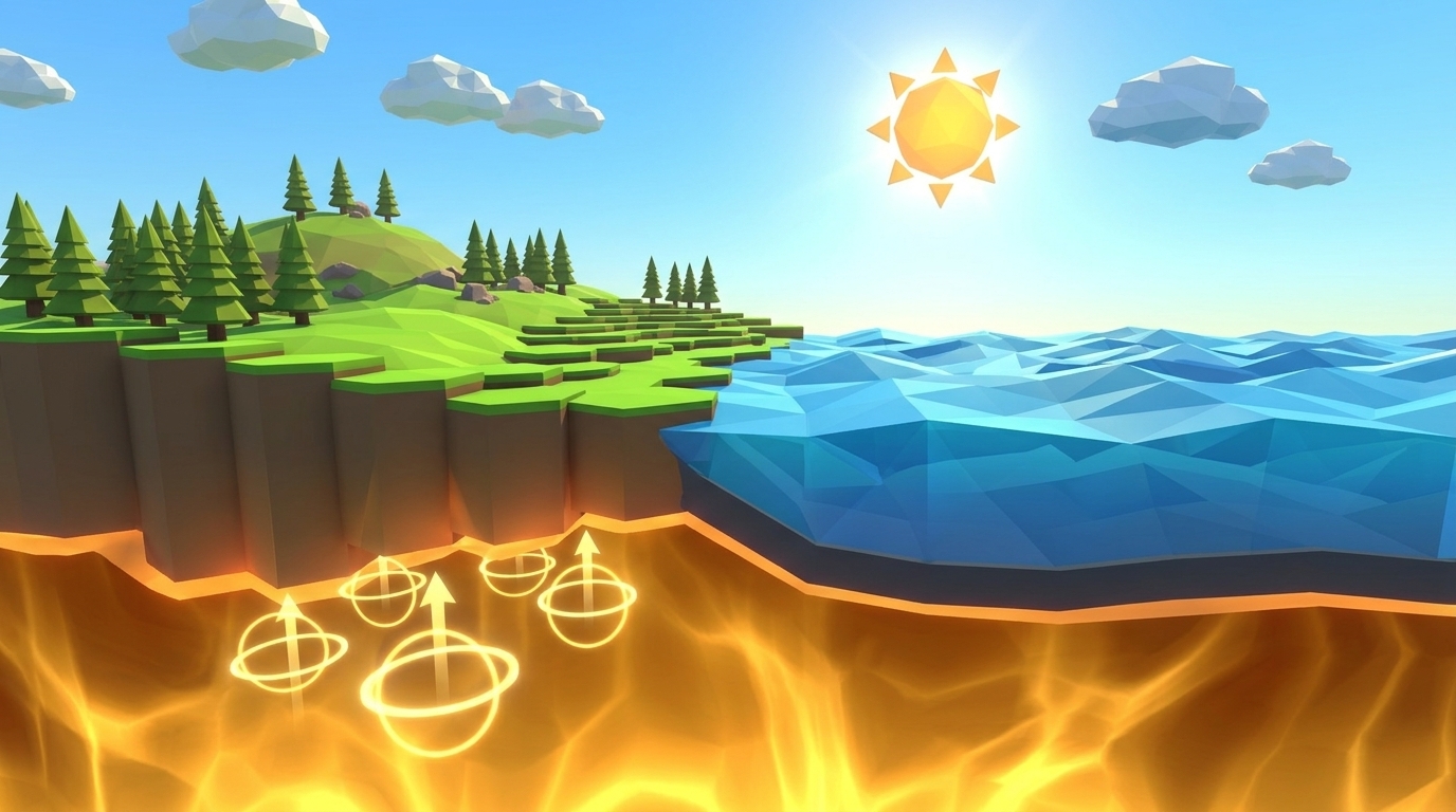
Subduction zones operate under an entirely different, lethal geometry. Where a dense oceanic plate dives beneath a lighter continental plate, the two giant rock slabs lock together with ferocious friction. Over hundreds of years, the diving oceanic slab drags the leading overhang of the continental plate downward like a bowed diving board, accumulating trillions of gigajoules of elastic strain energy.
During a megathrust earthquake (such as the 2004 Sumatra M 9.1 or the 2011 Tohoku M 9.0 disaster), the frictional lock abruptly fails. The compressed continental overhang violently springs upward and seaward by 5 to 15 meters in less than two seconds. Because water is nearly incompressible, this sudden vertical heave lifts the entire overlying water column upward, creating an elevated mound of seawater on the ocean surface containing thousands of cubic kilometers of water. Gravitational collapse then splits this water mound into two high-speed tsunami wave trains racing outward in opposite directions.
The Physics of Deep-Water Solitons: Why Ships at Sea Never Feel a Tsunami
In deep ocean water, tsunami physics defies common intuition. Because a tsunami's horizontal wavelength (the distance between crests) spans 100 to 200 kilometers, oceanographers treat tsunamis as shallow-water gravity waves relative to their wavelength, even in abyssal depths of 6,000 meters.
The velocity of a shallow-water wave depends solely on gravitational acceleration (g = 9.8 m/s^2) and water depth (d):
Velocity = Square Root of (g * d) [v = sqrt(g * d)]
In a 6,000-meter-deep oceanic trench, this yields an astonishing speed:
v = sqrt(9.8 * 6000) = sqrt(58,800) = 242.5 m/s = 873 km/h (542 mph)
This speed matches the cruising velocity of a commercial Boeing 777 jetliner. Yet despite traveling at airplane speed, a deep-water tsunami is virtually harmless to ships in the open ocean. Because its immense volume is spread across a 150-kilometer wavelength, the wave height (amplitude) is frequently less than 80 centimeters (under 3 feet). A ship sailing directly above the rupture experiences only a gentle, imperceptible lift and drop over a 20-minute period.
The Shoaling Transformation: How Speed Converts into Towering Coastal Height
The true catastrophe begins when a tsunami enters shallow coastal waters, a physical process known as wave shoaling governed by Green's Law of energy conservation:
Phase 1: Deep-Water Conveyance (Abyssal Trench: 6,000m Depth)
Maximum transit velocity with negligible surface wave height
In the deep trench, water depth keeps wave velocity at 870 km/h with an amplitude under 1.0 meter. Energy travels horizontally across thousands of miles of open sea with minimal frictional loss.
- ✓Velocity: 873 km/h (242 m/s); Wavelength: 150 km
- ✓Wave height: 0.8 meters; Period: 15 to 25 minutes
- ✓Completely undetected by commercial ships at sea
- ✓Monitored by seafloor DART bottom pressure sensors
Phase 2: Continental Shelf Braking (Shelf Edge: 100m Depth)
Rapid deceleration and horizontal wavelength compression
As the ocean floor abruptly rises onto the continental shelf (depth shrinks from 6,000m to 100m), seabed friction brakes the front of the wave to just 113 km/h (v = sqrt(9.8 * 100) = 31.3 m/s). The faster rear of the wave (still in deep water) barrels into the slowed front like a multi-car pileup, compressing wavelength from 150 km down to 15 km.
- ✓Velocity slows by 87% (from 873 km/h down to 113 km/h)
- ✓Wavelength squashes like an accordion from 150 km to 15 km
- ✓Kinetic energy converts directly into gravitational potential energy
- ✓Seafloor friction begins dragging the base of the water column
Phase 3: Coastal Shoaling & Surge (Nearshore: 10m Depth to Shoreline)
Towering run-up height and catastrophic onshore inundation
In water depths under 10 meters, wave speed drops to 35 km/h. To conserve energy flux, the compressed water mass surges vertically upward, transforming into a towering 8 to 15-meter hydraulic wall. Rather than a breaking surf wave, it strikes the coast as an unstoppable, fast-rising hydraulic battering ram loaded with debris.
- ✓Wave height amplifies tenfold into an 8 to 15-meter surge
- ✓Often preceded by a dramatic coastal drawback (sea drainage)
- ✓Inundates kilometers inland, washing away reinforced concrete
- ✓Subsequent waves in the wave train often crest even higher
Simulate Vertical Seafloor Uplift & Predict Coastal Tsunami Inundation in 3D
Calibrate Vertical Seafloor Uplift, Rupture Width, and Trench Water Depth in our real-time subduction diorama. Watch deep-ocean solitons travel at 870 km/h, monitor live DART seafloor pressure buoys, and forecast shallow shoaling wave run-up before coastal sirens sound. Zero sign-up, instant browser play.
The Three Simulation Controls: Calibrating Uplift, Width & Depth in Level 13
To clear Level 13, students must balance seismic fault mechanics against hydrodynamic shallow-water equations to predict coastal arrival times and evacuation windows:
| Simulation Variable | Unit / Range | Baseline / Novice Setting | Intended Target Window | Physical Effect in 3D Engine |
|---|---|---|---|---|
| Vertical Seafloor Uplift | 1.0 to 15.0 meters | 1.0 meter (Default) | 6.5 to 8.0 meters (Target: 7.0) | Controls the initial vertical displacement of the seafloor fault block. Higher uplift injects greater potential energy into the water column, scaling coastal run-up height. |
| Rupture Width | 20 to 150 km | 30 km (Default) | 85 to 105 km (Target: 95) | Establishes the horizontal breadth of the displaced seafloor slab, governing total displaced water volume and the wavelength of the resulting tsunami soliton. |
| Trench Water Depth | 2.0 to 8.0 km | 6.0 km (Default) | 5.5 to 6.5 km (Target: 6.0) | Determines the deep-water propagation velocity via v = sqrt(g * d). Deeper trenches enable faster wave transit times across the 300-kilometer ocean basin. |
DART Buoys and Coastal Early Warning: The Technology that Saves Lives
How do scientists detect a deadly tsunami traveling in the open ocean when it is less than three feet tall? Surface buoys measuring surface water height are useless because normal wind-driven storm waves are often 5 to 10 meters tall, completely masking a 1-meter tsunami.
The solution is NOAA's Deep-ocean Assessment and Reporting of Tsunamis (DART) network. A DART system places a precision Bottom Pressure Recorder (BPR) on the abyssal ocean floor at 5,000 meters depth. Storm waves are surface phenomena: their water motion decays exponentially with depth, leaving the abyssal floor undisturbed. A tsunami, however, is a whole-column gravity wave that moves the entire ocean from surface to seafloor. As a tsunami passes overhead, the extra weight of the water column causes a distinct pressure spike of just a few millibars on the seabed recorder.
The seafloor recorder beams an acoustic signal upward to a floating yellow surface buoy, which relays the alert via satellite to warning centers in Hawaii and Alaska in under 60 seconds. In Level 13, students observe this live telemetry trigger at Minute 15, giving coastal towns a 5-minute evacuation countdown before the 8.8-meter shoaled wave strikes at Minute 21.
Systems Thinking & Ormanci Competency: Cross-Domain Momentum Transfer
Level 13 cultivates the Ormanci (2026) systems thinking competency: Cross-Domain Momentum Transfer (Solid Crust to Fluid Column). Students often view geophysics and oceanography as isolated disciplines with separate rules.
In reality, a megathrust tsunami is an unbroken chain of cross-domain energy conversions across three distinct physical states:
1. Solid-State Elastic Strain: Potential energy stored in compressed continental crust over centuries.
2. Solid-to-Fluid Kinetic Displacement: The fault snaps upward, converting mechanical strain into vertical kinetic displacement of solid granite, which physically shoves the fluid water column.
3. Fluid Hydrodynamic Propagation: Gravitational potential energy converts into horizontal kinetic energy, propagating across open water via the shallow-water wave equation before shoaling compresses the wave against coastal boundaries.
By manipulating rock uplift sliders and watching the dark-blue wave amplitude line on the live coordinate graph swell as water depth decreases, students develop a unified mental model of physical energy conservation.
Common Student Misconceptions in Middle School Earth Science
Educators frequently address three prevalent misconceptions when teaching tsunami physics:
1. Misconception: "Tsunamis are tidal waves caused by the Moon or heavy ocean hurricane winds." Reality: Tsunamis have zero connection to tides or weather. They are generated strictly by sudden geological dislocations: submarine earthquakes, caldera collapses, or underwater landslides. Wind waves only agitate the upper 20 meters of water; tsunamis move the entire 6,000-meter ocean column.
2. Misconception: "A tsunami looks like a giant curling surfing wave with a foaming lip in the deep sea." Reality: A tsunami in the open ocean is a wide, flat dome of water that is virtually flat. Even at the coast, a tsunami rarely curls like a surfing wave; it arrives as an unstoppable, fast-rising hydraulic tide or bore that keeps rising for 15 to 30 continuous minutes.
3. Misconception: "A tsunami is just one single wave; once the water recedes, it is safe to return to the beach." Reality: Tsunamis arrive as a wave train: a series of 5 to 10 distinct crests separated by 15 to 45 minutes. Frequently, the second or third wave is significantly larger than the first, and coastal bays can experience dangerous surging currents for over 24 hours.
Teacher Lesson Plan: The 45-Minute Megathrust Tsunami Lab
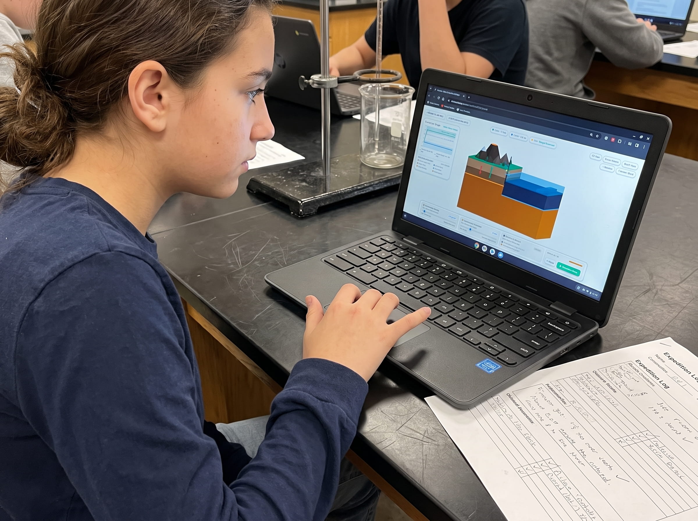
This structured lesson plan connects tactile hydrodynamic modeling with digital simulation in Volcano Island Level 13:
Water Basin Springboard Demonstration (5 mins)
Fill a shallow plastic storage bin with water and place a submerged wooden paddle at one end. Slowly pull the paddle edge down against spring tension, then suddenly release it upward. Direct students to observe how vertical motion generates an expanding gravity wave that washes over a simulated sand ramp at the far end.
Pre-Run Velocity Calculations & Predictions (10 mins)
Have students open Level 13 on classroom computers. Guide them through calculating wave speed in 6,000m depth using v = sqrt(9.8 * d). Prompt them to predict: How many minutes will it take for a wave traveling at 870 km/h to cross a 300 km ocean basin? What will happen to wave height when depth drops to 100 meters?
Interactive Parameter Calibration in Volcano Island (20 mins)
Students calibrate Vertical Seafloor Uplift to 7.0 meters, Rupture Width to 95 km, and Trench Water Depth to 6.0 km. They click Trigger Megathrust and track the soliton crossing the basin, monitoring the yellow DART buoy at Minute 15 and activating village evacuation sirens at Minute 16.
Shoaling Graph Analysis & Field Logbook Reflection (10 mins)
Students record the final shoaled run-up height (8.8 meters), graph wave speed versus depth on logbook coordinates, and write a concise emergency evacuation protocol explaining why retreating ocean water (drawback) is a life-saving natural warning sign.
Testing Handbook & Cheat Sheet: How to Clear Level 13
Use this calibrated testing guide to assist students in achieving a 3-star victory on Level 13:
Engine Configuration: Trench to Coast Distance: 300 km | Trench Depth: 6.0 km | Shelf Depth: 0.1 km | Target Epochs: 60 minutes.
Winning Calibration Parameters:
Vertical Seafloor Uplift: Set slider to 6.5 to 8.0 meters (Target: 7.0 meters). This injects the exact kinetic displacement needed to generate an authentic megathrust wave without chaotic splashing.
Rupture Width: Set slider to 85 to 105 km (Target: 95 km). This establishes an extensive 150-kilometer soliton wavelength.
Trench Water Depth: Set slider to 5.5 to 6.5 km (Target: 6.0 km). This sets deep-water speed to exactly 873 km/h.
Step-by-Step Victory Walkthrough:
Step 1: Press Trigger Megathrust. The seafloor springs up 7 meters at Minute 0.
Step 2: Watch the deep-sea wave race across the 300 km basin at 873 km/h.
Step 3: At Minute 15, the yellow DART buoy flashes red as the pressure wave passes overhead.
Step 4: Immediately click Trigger Coastal Evacuation at Minute 16 to clear the village.
Step 5: At Minute 21, the wave slows over the shallow shelf and shoals to 8.8 meters, flooding the empty beach while all residents reach high ground, securing a 3-star clear.
Common Failure Modes: Setting Uplift to 15m in shallow water causes wave fragmentation and erratic splash physics; waiting past Minute 18 to trigger evacuation results in village casualties.
Frequently Asked Questions (FAQ)
Common questions educators, homeschool parents, and students ask about megathrust tsunamis and wave physics:
Why does a tsunami slow down as it gets closer to the coast?
What is a tsunami drawback, and why is it a critical warning sign?
How do DART buoys distinguish a 1-meter tsunami from a 10-meter storm wave?
How does Level 13 lead into Level 14 (Ring of Fire)?
Related Earth Science Units & Simulation Lab Resources
Continue your middle school Earth and Space science journey with these companion simulation guides:
Review crustal buoyancy in our crustal buoyancy isostasy simulation Level 1 guide.
Explore deep thermal circulation in our mantle convection tectonics simulation Level 2 guide.
Discover seafloor spreading in our seafloor spreading divergent boundary simulation Level 3 lab.
Investigate subduction abysses in our subduction zones deep trench simulation Level 4 article.
Explore subterranean magma generation in our flux melting magma chamber simulation Level 5 guide.
Study effusive basalt rivers in our shield volcano basaltic lava simulation Level 6 lab.
Examine viscous composite cones in our composite volcano silica viscosity simulation Level 7 guide.
Model supersonic gas decompression in our volcanic eruption plume gas simulation Level 8 guide.
Examine caldera collapses in our caldera collapse crater lake simulation Level 9 lab.
Explore mantle plumes in our hotspot island chain mantle plume simulation Level 10 guide.
Investigate locked transform faults in our locked fault elastic rebound simulation Level 11 guide.
Triangulate earthquake epicenters in our earthquake seismic waves triangulation simulation Level 12 guide.
Discover multi-boundary plate convergence networks in our ring of fire subduction arc simulation Level 14 guide.
Review complete homeschool science options in our earth science homeschool curriculum guide.
Set up student accounts with zero student logins on our educator dashboard.
24 pages of printable isostatic buoyancy calculation tables, paleomagnetic zebra stripe rulers, and seismogram triangulation exercises designed for grades 4 to 8.
DOWNLOAD EXPEDITION LOGBOOK (PDF)