The Horseshoe of Fire: Why 75% of Earth's Volcanoes Ring One Ocean
If you look at a global map of volcanic eruptions over the past 10,000 years, a striking pattern emerges immediately: volcanoes are not scattered randomly across the globe. Instead, over 450 active volcanoes form a colossal, 40,000-kilometer (25,000-mile) horseshoe curving from southern Chile, up through the Central American volcanic arc and the Cascades of the Pacific Northwest, across the Aleutian arc of Alaska, down through Kamchatka, Japan, the Marianas, the Philippines, and terminating in the Alpine fault and Kermadec-Tonga trench of New Zealand.
This dynamic perimeter is known as the Circum-Pacific Belt, or more famously, the Ring of Fire. It accounts for more than 75% of all active and dormant subaerial volcanoes on the planet, as well as 90% of all global earthquakes and over 80% of the world's most powerful megathrust seismic events.
Why does one ocean basin claim three-quarters of our planet's volcanic fury while other oceans remain quiet? The Atlantic Ocean, for example, features almost no perimeter volcanoes. The difference comes down to boundary anatomy. The Atlantic is an expanding basin: newly created seafloor at the Mid-Atlantic Ridge pushes outward, fused directly to the passive continental margins of North America, South America, Europe, and Africa. Because no ocean crust is plunging beneath the Atlantic coasts, there are no subduction trenches, no flux melting, and no coastal volcanic mountain chains.
The Pacific basin, by contrast, is an active tectonic sink. The vast Pacific Plate, along with smaller neighboring oceanic slabs like the Nazca, Cocos, and Juan de Fuca plates, is surrounded on nearly every side by convergent plate boundaries. As this oceanic lithosphere sinks into deep mantle trenches, it acts as a global conveyor belt fueling explosive stratovolcanoes all along the perimeter.
The Atlantic Ocean expands passively from a central divergent ridge with zero coastal subduction. The Pacific Ocean is trapped in a ring of convergent trenches where sinking slabs dehydrate, trigger flux melting, and ignite 75% of Earth's active volcanoes.
The Physics of Multi-Sink Convergence: Slab Pull Balance and Torque Equilibrium
In earlier Volcano Island levels, students examined subduction at a single isolated boundary: an oceanic slab dives beneath a continent, dehydrates, and creates a volcanic arc. But in the real world, tectonic plates do not exist in isolation. The Pacific Plate is the largest single tectonic slab on Earth, covering over 103 million square kilometers. It is attached to and interacting with more than seven surrounding plates simultaneously.
Because the oceanic lithosphere becomes colder, denser, and thicker as it travels away from mid-ocean spreading centers, ancient Pacific crust (over 150 million years old near the Mariana Trench) reaches densities of 3.30 g/cm³, substantially denser than the underlying 3.25 g/cm³ asthenospheric mantle. This density imbalance generates slab pull, the dominant driving force of global plate tectonics. The heavy sinking slab acts like an anchor sliding off a ship, dragging thousands of kilometers of ocean floor behind it.
What happens when a single rigid plate is pulled in multiple directions at the same time? It creates a complex mechanical problem known as distributed multi-sink equilibrium. The northern edge of the Pacific Plate is being dragged northward into the Aleutian Trench at roughly 7 cm/year; its northwestern margin is being pulled into the Kuril-Kamchatka and Japan trenches at 8 to 9 cm/year; its southwestern margin plunges into the Tonga and Kermadec trenches; while its eastern boundary interacts with the San Andreas transform fault and the divergent East Pacific Rise.
For a rigid tectonic plate to maintain mechanical integrity, the net sum of all forces and rotational torques must balance: the forward pull of subducting slabs plus the lateral push of divergent ridges must equal the frictional shear resistance along every active fault zone. If one subduction trench jams due to sediment starvation, or if another accelerates due to steep slab rollback, asymmetric stress builds up across the interior of the plate. When differential stresses exceed the shear strength of oceanic basalt (roughly 100 to 200 megapascals), the plate can buckle, rotate, or experience intraplate tearing.
| Subduction Zone | Sinking Plate | Overriding Plate | Convergence Velocity | Primary Volcanic Arc / Features |
|---|---|---|---|---|
| Highest DensityJapan & Kuril Trench | Pacific Plate | Okhotsk / Eurasian Plates | 8.0 to 9.2 cm/year | Mount Fuji, Mount Sakurajima, 110+ active volcanic centers |
| Aleutian Trench | Pacific Plate | North American Plate | 6.5 to 7.8 cm/year | Aleutian Arc: Shishaldin, Pavlof, Cleveland, Augustine |
| Mariana Trench | Pacific Plate | Mariana / Philippine Plates | 3.0 to 5.0 cm/year | Challenger Deep (10,994m), Izu-Bonin-Mariana volcanic island arc |
| Cascadia Subduction Zone | Juan de Fuca Plate | North American Plate | 3.5 to 4.5 cm/year | Cascade Range: Mount St. Helens, Mount Rainier, Mount Shasta |
| Peru-Chile Trench | Nazca Plate | South American Plate | 6.5 to 8.0 cm/year | Andean Volcanic Belt: Cotopaxi, Ojos del Salado, Villarrica |
From Deep Trench to Volcanic Arc: The Flux Melting Conveyor Belt
A common misconception among students is that subducting oceanic plates melt directly from the intense heat of the mantle. As introduced in Level 5, rock melting in subduction zones is actually a chemical reaction triggered by water: flux melting.
When basaltic ocean crust is freshly extruded at mid-ocean ridges, it reacts with cold seawater circulating through cracks and hydrothermal vents. Seawater chemically alters anhydrous minerals like pyroxene and olivine into hydrous minerals such as serpentine, talc, and chlorite. As the plate travels across the ocean basin over tens of millions of years, it also collects a thick blanket of water-saturated pelagic sediment, clay, and microscopic marine shells.
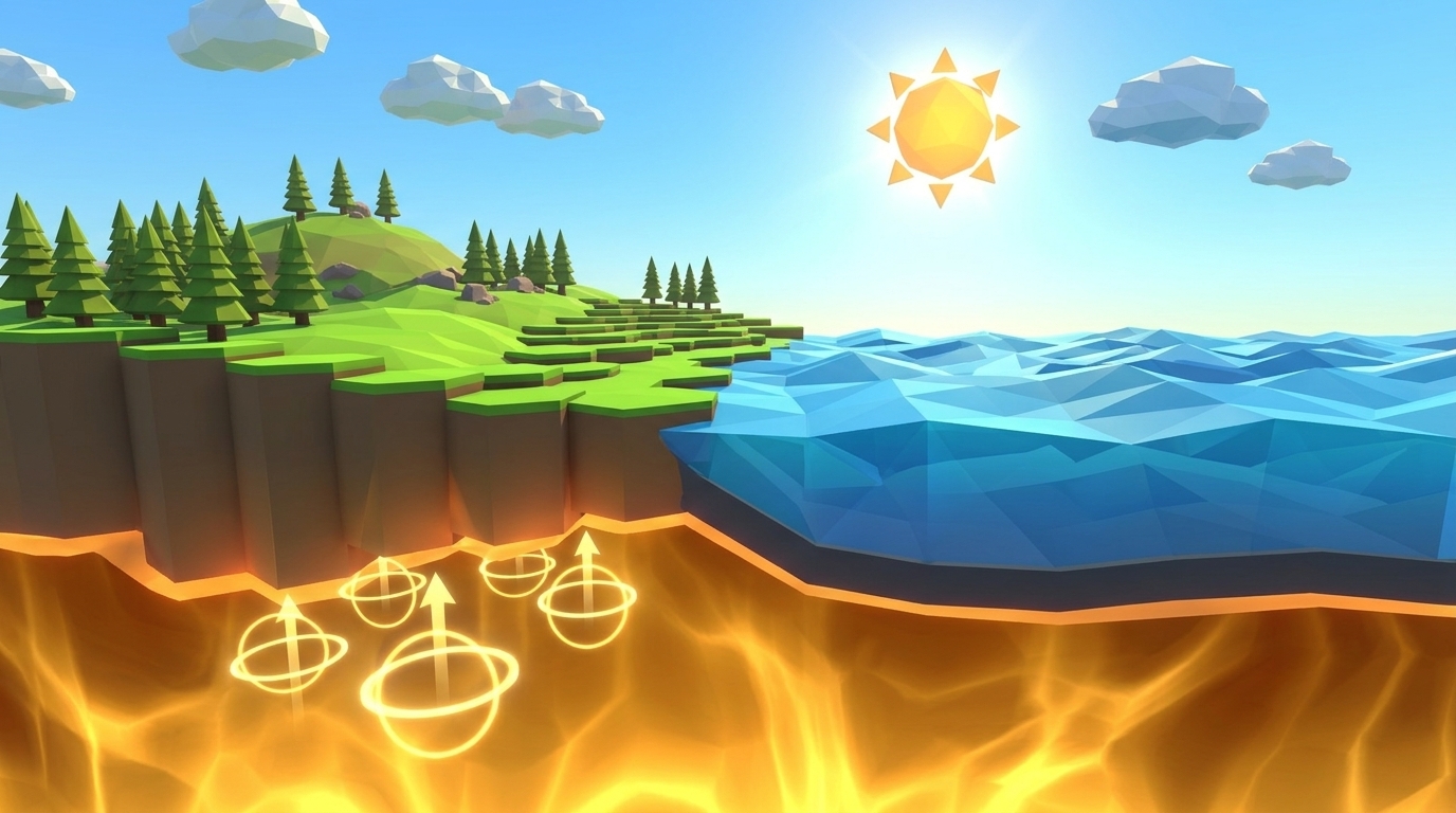
As the slab plunges into an oceanic trench and descends past 80 to 120 kilometers depth, confining pressures exceed 30,000 atmospheres (3 gigapascals) and temperatures rise above 600°C. Under these extreme conditions, hydrous minerals break down in a process called metamorphic dehydration. Trapped water molecules are squeezed out of the rock lattice and rise as superheated aqueous fluids into the overlying wedge of peridotite mantle.
Just as sprinkling road salt onto winter ice lowers its melting temperature and turns solid ice into slush at -5°C, adding superheated water to solid 1,200°C mantle peridotite dramatically lowers its melting point. The mantle wedge begins to partially melt, generating buoyant, silica-poor basaltic magma. Because liquid magma is less dense than the surrounding solid rock, it ascends through the overriding continental or oceanic crust, pooling in magma chambers and eventually erupting through the surface to create towering stratovolcano chains located 100 to 200 kilometers inland from the subduction trench.
By mapping the locations of earthquake hypocenters along descending slabs (the Wadati-Benioff zone), seismologists can trace the exact 45-degree angle of the sinking plate down to 700 kilometers beneath the surface, confirming the continuous mechanical link between deep trench subduction and surface volcanic eruptions.
The Science Behind the Sliders: Level 14 Mission Handbook
In Level 14: Ring of Fire, students step into the planetary geodynamics control room. Instead of managing a single isolated volcano or fault line, the student oversees an entire 5,000-kilometer oceanic basin enclosed by three converging continental margins (West, North, and East). The objective is to sustain balanced subduction across all three margins, maintaining at least 8 active volcanic centers around the perimeter for 60 consecutive simulation epochs without plate stall or structural tearing.
Here is the exact scientific role of each simulation control slider in Level 14:
Central Plate Convergence Rate (Target: 6.8 to 7.8 cm/year)
Controls the velocity at which the central ocean plate is pulled outward toward the surrounding continental margins. Defaulting to a sluggish 3.0 cm/year, the slab lacks sufficient downward momentum to overcome frictional resistance along the trench walls, causing convergence to stall within 15 epochs. Increasing velocity into the optimal 6.8 to 7.8 cm/year band delivers a steady supply of hydrated crust into the 100-kilometer dehydration zone, sustaining robust partial melting and active volcanic arcs. Pushing convergence above 10.0 cm/year produces severe frictional heating and premature slab fragmentation.
Trench Lubrication / Sediment Flow (Target: 55% to 65%)
Determines the volume of wet ocean sediments dragged down into the subduction fault zone. Water-rich trench sediments act as a natural geological lubricant, lowering the effective coefficient of friction along the megathrust interface. At the low default of 20%, high fault friction locks the subduction channel, causing trench freeze. Increasing lubrication to 55-65% allows smooth, continuous descent of the oceanic slab. Pushing lubrication beyond 85% causes excessive sediment accretion, forming an oversized accretionary prism that chokes the subduction throat.
Slab Pull Balance Ratio (Target: 48/52 to 52/48)
Regulates the symmetrical distribution of gravitational slab pull between opposing continental margins (West vs. East). In a closed basin network, if one trench pulls with 75% of the total gravitational force while the opposite margin pulls with only 25%, the central plate experiences catastrophic rotational torque. The plate violently accelerates westward, rips away from the eastern subduction channel, and shears in half. Maintaining the balance ratio near 50/50 ensures equal, distributed subduction around the entire horseshoe basin.
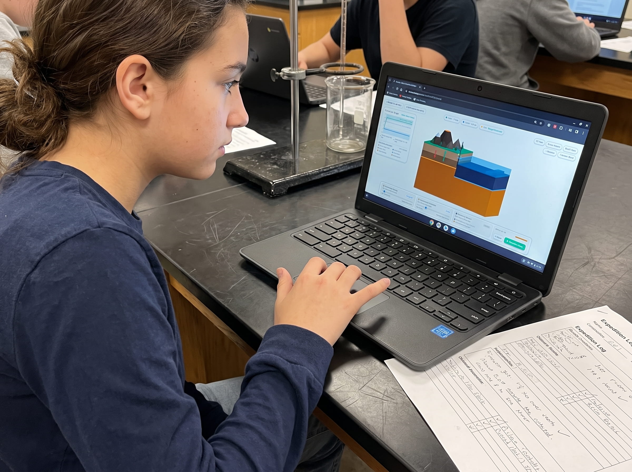
Level 14 Simulation: Multi-Plate Subduction Arc Lab
Step into the planetary control room. Coordinate subduction rates, sediment lubrication, and slab-pull torque across three converging continental margins simultaneously to sustain the Pacific Ring of Fire without tectonic lockup.
Step-by-Step Lab Protocol: Achieving Perimeter Equilibrium
Follow this four-step testing procedure in the Level 14 interactive simulation to calibrate all three boundary parameters and achieve stable multi-plate subduction:
Diagnose Default Baseline Stall
Launch Level 14 with default parameters (Convergence: 3.0 cm/yr, Lubrication: 20%, Balance: 50/50). Click Play. Notice how the oceanic plate creeps slowly forward before locking up at Epoch 18 due to insufficient trench lubrication and weak slab momentum. Only 2 volcanic centers ignite before total system freeze.
Accelerate Plate Convergence Velocity
Reset the simulation. Adjust the Convergence Rate slider from 3.0 cm/yr up to 7.2 cm/yr (matching the real-world convergence speed of the Pacific and Nazca plates). This provides the downward kinetic drive needed to plunge hydrous crust deep into the upper asthenosphere.
Infuse Marine Sediment Lubrication
Increase Trench Lubrication from 20% to 60%. This reduces shear drag along the fault walls, preventing trench freeze and allowing the subducting slab to descend smoothly without jamming.
Lock Symmetric Slab Pull and Run 60 Epochs
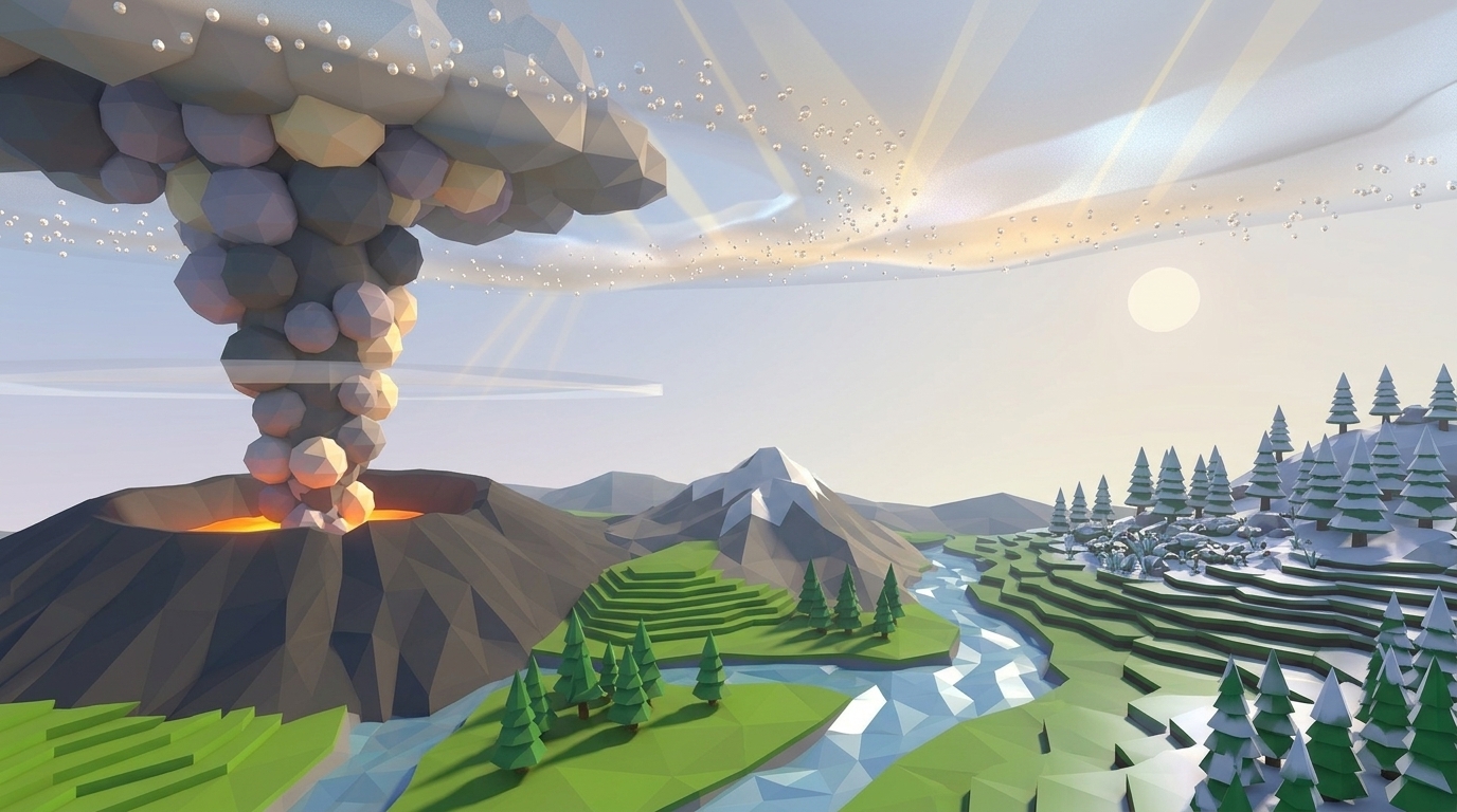
Verify that the Slab Pull Balance Ratio is locked at 50/50. Press Play. Watch as the central oceanic plate sinks smoothly along West, North, and East margins simultaneously. By Epoch 25, 9 active composite stratovolcanoes ignite around the basin perimeter, billowing ash clouds and illuminating an authentic Ring of Fire for the full 60-epoch mission duration.
Frequently Asked Questions: Earth Science Curriculum FAQ
These five common student questions clarify core concepts regarding global plate tectonics, subduction arcs, and planetary conservation of mass:
Why is the Pacific Ocean shrinking while the Atlantic Ocean is growing?
If oceanic plates are subducting all around the Pacific, why doesn't the Earth get smaller?
What is the difference between an island arc and a continental volcanic arc?
Why do subduction trenches have the deepest earthquakes on Earth?
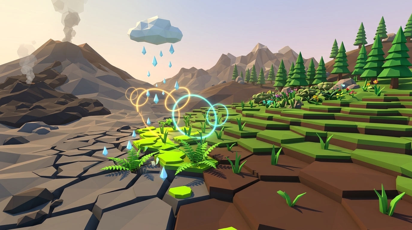
How does Level 14 lead into Level 15 (Ash to Life: Volcanic Soil Succession)?
Related Earth Science Units & Simulation Lab Resources
Continue your middle school Earth and Space science journey with these companion simulation guides:
Review crustal buoyancy in our crustal buoyancy isostasy simulation Level 1 guide.
Explore deep thermal circulation in our mantle convection tectonics simulation Level 2 guide.
Discover seafloor spreading in our seafloor spreading divergent boundary simulation Level 3 lab.
Investigate subduction abysses in our subduction zones deep trench simulation Level 4 article.
Explore subterranean magma generation in our flux melting magma chamber simulation Level 5 guide.
Study effusive basalt rivers in our shield volcano basaltic lava simulation Level 6 lab.
Examine viscous composite cones in our composite volcano silica viscosity simulation Level 7 guide.
Model supersonic gas decompression in our volcanic eruption plume gas simulation Level 8 guide.
Examine caldera collapses in our caldera collapse crater lake simulation Level 9 lab.
Explore mantle plumes in our hotspot island chain mantle plume simulation Level 10 guide.
Investigate locked transform faults in our locked fault elastic rebound simulation Level 11 guide.
Triangulate earthquake epicenters in our earthquake seismic waves triangulation simulation Level 12 guide.
Analyze open-ocean tsunami shoaling in our megathrust tsunami subduction simulation Level 13 guide.
Discover primary succession and andosol soil genesis in our volcanic soil succession ash simulation Level 15 guide.
Review complete homeschool science options in our earth science homeschool curriculum guide.
Set up student accounts with zero student logins on our educator dashboard.
24 pages of printable isostatic buoyancy calculation tables, paleomagnetic zebra stripe rulers, and seismogram triangulation exercises designed for grades 3 to 8.
DOWNLOAD EXPEDITION LOGBOOK (PDF)Download Free Volcano Island Field Geologist Logbook (PDF)
24 pages of printable isostatic buoyancy calculation tables, paleomagnetic zebra stripe rulers, and seismogram triangulation exercises designed for grades 3 to 8.