Listening to the Mountain: How Volcanoes Signal an Impending Blast
In June 1991, on the Philippine island of Luzon, Mount Pinatubo woke up after 500 years of quiet dormancy. Over 60,000 people lived on its lush volcanic slopes, while tens of thousands of American service members and civilians worked at Clark Air Base directly downwind. A catastrophic VEI 6 explosive eruption was brewing: one of the two largest volcanic detonations of the twentieth century.
Yet when Pinatubo finally blew on June 15, blasting a giant umbrella cloud 35 kilometers into the stratosphere and burying entire river valleys under boiling pyroclastic flows, the death toll was remarkably low. An estimated 20,000 to 30,000 lives were saved because volcanologists from the USGS and PHIVOLCS had installed a real-time sensor network, read the mountain's precursor warnings, and urged civil authorities to order mandatory evacuations just days before the cataclysm.
Pinatubo stands as modern geoscience's greatest humanitarian victory. Contrast this with historic tragedies where monitoring networks did not exist: Mount Vesuvius in 79 AD, where thousands perished in Pompeii and Herculaneum, or Mount Pelée in 1902 on the Caribbean island of Martinique, where nearly 30,000 residents died in minutes because political leaders ignored early signs and delayed evacuation orders.
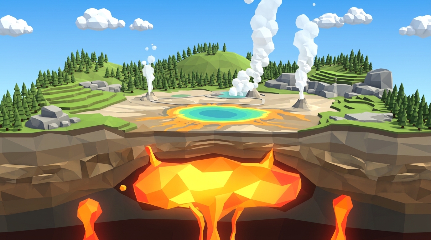
A volcano never explodes without warning. Magma stored 10 to 15 kilometers underground cannot punch through solid bedrock to the surface without breaking rock, inflating the mountainside, and releasing trapped volcanic gases. In Level 17 of Volcano Island, students take command of an active volcano monitoring network to master the high-stakes science of eruption forecasting.
Never base an evacuation on a single sensor spike. Magma ascent produces three distinct, simultaneous physical signatures: acoustic harmonic tremors, physical ground tilt inflation, and chemical sulfur gas venting. Real-time triangulation separates baseline geological noise from genuine crisis thresholds.
The Three Precursor Pillars: Seismicity, Ground Deformation, and Gas Geochemistry
Effective volcanic forecasting relies on three independent geophysical and geochemical pillars. Each sensor type reveals a different physical stage of magma migration through the subterranean plumbing system:
1. Seismology (Acoustic Fracturing vs. Fluid Resonance): As rising magma forces open cracks in cold, brittle crust, it triggers high-frequency Volcano-Tectonic (VT) earthquakes. These look like standard tectonic quakes on a seismograph: sharp, sudden P-wave and S-wave spikes. But as magma nears the conduit, the seismic signature transforms into Long-Period (LP) events and continuous Harmonic Tremor. Harmonic tremor is a sustained, low-frequency hum (1 to 5 Hz) caused by pressurized magma and boiling gas violently resonating against the conduit walls, exactly like air vibrating through a church pipe organ. Continuous harmonic singing indicates magma is actively moving in the open throat.
2. Geodesy & Ground Deformation (The Inflating Balloon): A volcano behaves like a rubber balloon. When fresh magma fills a shallow reservoir 3 to 5 kilometers deep, hydraulic pressure pushes the overlying rock outward and upward. Volcanologists measure this with electronic tiltmeters: ultra-sensitive instruments capable of measuring ground slope changes down to a single microradian (equivalent to lifting one end of a kilometer-long beam by the thickness of a single sheet of paper). Satellite radar interferometry (InSAR) and high-precision GPS networks track surface bulging across square miles.
3. Gas Geochemistry (The Degassing Order): Magma is saturated with dissolved volatiles. Because carbon dioxide (CO₂) is poorly soluble at high pressure, it boils out first at 10 to 15 km depth. But sulfur dioxide (SO₂) remains dissolved in silicate melt until magma ascends into the upper 2 to 3 kilometers. When ground-based UV spectrometers (DOAS/COSPEC) detect SO₂ emission rates rocketing from a background 50 tonnes/day to over 1,500 to 5,000 tonnes/day, it proves that fresh, gas-charged magma has breached shallow crust and is preparing to vent.
| Instrument System | Physical Measurement | Precursor Mechanism | Normal Baseline | Critical Warning Spike |
|---|---|---|---|---|
| Highest SensitivityBroadband Seismograph Network | Ground vibration frequency & velocity | Harmonic acoustic resonance of moving magma | 1 to 3 micro-quakes/day | Continuous harmonic tremor (2 to 5 Hz) |
| Borehole Electronic Tiltmeter | Ground slope deflection (microradians) | Hydraulic swelling of shallow magma chamber | < 2 µrad / month | Spiking > 80 µrad in 48 hours |
| Differential UV Spectrometer (DOAS) | Atmospheric SO₂ flux (tonnes/day) | Shallow magma volatile exsolution & depressurization | 20 to 80 tonnes/day | Surging > 1,200 to 5,000 tonnes/day |
| Continuous Multi-Gas Sensor (Multi-GAS) | CO₂ / SO₂ volatile ratio | Deep reservoir recharge vs shallow degassing | High CO₂ / low SO₂ | Sharp inversion to high SO₂ / low CO₂ |
| Thermal Infrared Camera | Fumarole & crater vent temperature (°C) | Heat conduction from near-surface magma column | Ambient (40°C to 90°C) | Thermal jump > 400°C to 800°C |
The Evacuation Dilemma: False Alarms vs. Lethal Delay
In natural hazard mitigation, scientific accuracy is only half the battle; the other half is human decision-making under uncertainty. Volcanologists and civil emergency managers face a grueling psychological dilemma every time an active mountain begins to stir:
The Danger of Premature Evacuation: If scientists recommend a full red evacuation at the first minor cluster of earthquakes, thousands of families are forced from their homes into crowded temporary shelters, schools close, businesses shut down, and daily life grinds to a halt. If the magma stalls underground and does not erupt, people experience evacuation fatigue. They lose faith in the scientists and return home, leaving them vulnerable when the real eruption occurs weeks later.
The Danger of Lethal Delay: If scientists wait for absolute 100% certainty, it is already too late. Pyroclastic density currents travel across the ground at speeds exceeding 200 to 700 kilometers per hour, carrying incandescent gas and rock at temperatures over 800°C. Once an explosive eruption column begins to collapse, roads are buried, bridges are severed by lahars, and civilian evacuation becomes physically impossible.
The solution is standardized alert escalation based on multi-sensor trend synchronization: moving methodically from Green (Normal baseline) to Yellow (Watch) as tremors increase, Orange (Warning) as ground swelling accelerates, and Red (Mandatory Evacuation) only when seismic tremors, ground tilt, and sulfur gas output enter joint exponential acceleration.
The Science Behind the Dashboard: Level 17 Mission Handbook
In Level 17: The Warning Network, students step into the control room of an active island volcano observatory. Downhill from the smoking cone lies a coastal harbor town with 5,000 residents and ferry terminals. The simulation tracks a 25-day precursor monitoring window leading up to an unpreventable Day 22 cataclysmic blast.
Your objective is to monitor live telemetry, identify the critical precursor threshold, and execute a successful Red Evacuation between Day 18 and Day 21 (24 to 48 hours before the blast) with zero civilian casualties and zero false alarm penalties.
Here is how each live instrument feed operates on the simulation dashboard:
Seismic Tremor Counter & Seismogram (Hz & Quakes/Day)
Tracks both discrete rock-fracturing earthquakes and continuous fluid resonance. Through Days 1 to 12, tremors hover at baseline (1 to 3 minor quakes/day). At Day 13, tremors jump to 20/day as magma fractures conduit walls. By Day 18, individual quakes merge into continuous harmonic tremor (3.5 Hz hum), indicating magma is rushing upward through the open neck.
Ground Inflation Tiltmeter Gauge (Microradians)
Monitors the physical bulging of the volcanic cone. The needle rests near 0 µrad during baseline. Between Days 14 and 17, the tiltmeter rises moderately to 15 µrad (Watch phase). On Day 19, the needle enters exponential deflection, rocketing past 80 µrad within 24 hours as the shallow magma reservoir balloons under immense gas pressure.
SO₂ Gas Output Spectrometer (Tonnes/Day)
Measures chemical degassing from summit fumaroles. Normal background degassing hovers near 50 tonnes/day. As magma ascends into the upper 2 km where confining pressure is low, sulfur gas boils off rapidly, surging to 1,200 tonnes/day by Day 19 and verifying imminent volcanic venting.
The 4-Stage Alert Level Dial (Green -> Yellow -> Orange -> Red)
Students turn the rotary alert dial to communicate hazard status to civil defense: Green (Normal), Yellow (Watch: prepare emergency plans), Orange (Warning: cancel school, prepare harbor ferries), and Red (Mandatory Evacuation: load ferries and clear the island).
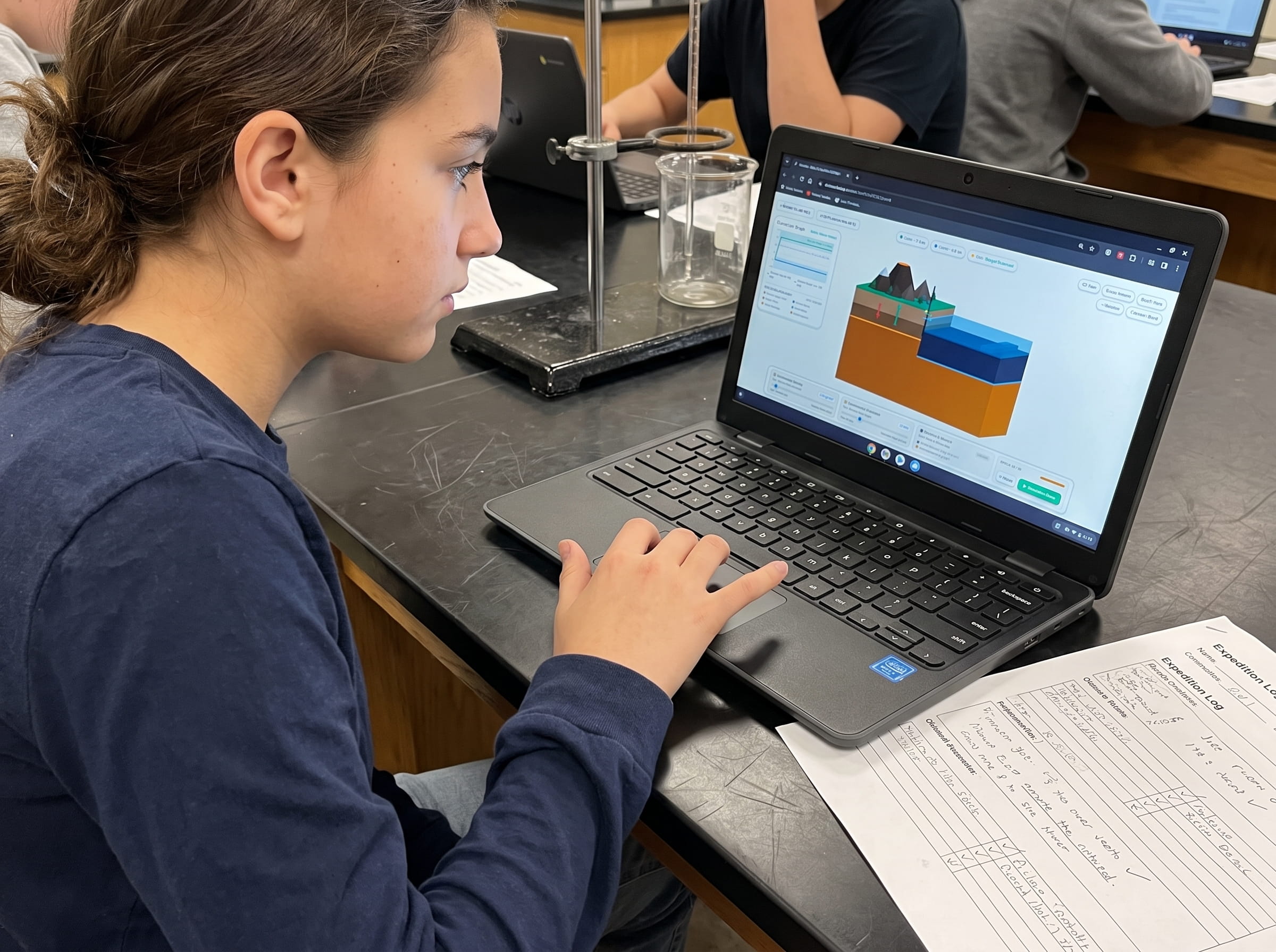
Level 17 Simulation: Early Warning Sensor Grid Lab
Take command of an active island volcano observatory. Monitor live seismographs, ground inflation tiltmeters, and SO₂ gas spectrometers to order timely civilian evacuations before catastrophic explosive blasts.
Step-by-Step Lab Protocol: Averting Disaster
Follow this four-step testing procedure in the Level 17 simulation lab to track multi-sensor signals and achieve a perfect three-star emergency evacuation score:
Observe Baseline Calm (Days 1 to 12)
Start Level 17. The dashboard indicates baseline calm: 2 tremors/day, 0 µrad tilt, and 50 t/d SO₂. Keep the Alert Dial set to Green. Do not panic and call an early evacuation on minor baseline twitches.
Escalate to Yellow Watch (Day 14)
On Day 13-14, seismic tremors jump from 3 to 20 per day, and ground tilt creeps upward to 15 µrad. Turn the Alert Dial to Yellow (Watch). Civil defense prepares evacuation ferries at the harbor while monitoring intensifies.
Detect Joint Exponential Growth and Order Red Evacuation (Day 19)
Between Days 18 and 19, watch for the critical threshold: seismic tremors turn into continuous harmonic humming, tiltmeter inflation rockets to 80 µrad, and SO₂ gas spikes to 1,200 t/d. All three curves are now in joint exponential acceleration. Turn the Alert Dial to Red (Evacuate).
Complete Harbor Evacuation Before the Day 22 Cataclysm
Ferries load and depart safely through Days 20 and 21, evacuating 100% of citizens. On Day 22, the summit detonates in a colossal explosive eruption, burying the empty town in ash with zero casualties and earning a three-star master volcanologist rating.
Frequently Asked Questions: Earth Science Curriculum FAQ
These five common questions address the real-world science of volcano monitoring, hazard communication, and disaster mitigation:
Can scientists predict the exact minute a volcano will erupt?
What does a volcanic harmonic tremor sound or feel like?
Why does sulfur gas increase right before an explosive eruption?
Why was the 1991 Mount Pinatubo evacuation considered such a historic success?
How does Level 17 lead into Level 18 (The Super Chamber: Continental Magma Reservoirs)?
Related Earth Science Units & Simulation Lab Resources
Continue your middle school Earth and Space science journey with these companion simulation guides:
Review crustal buoyancy in our crustal buoyancy isostasy simulation Level 1 guide.
Explore deep thermal circulation in our mantle convection tectonics simulation Level 2 guide.
Discover seafloor spreading in our seafloor spreading divergent boundary simulation Level 3 lab.
Investigate subduction abysses in our subduction zones deep trench simulation Level 4 article.
Explore subterranean magma generation in our flux melting magma chamber simulation Level 5 guide.
Study effusive basalt rivers in our shield volcano basaltic lava simulation Level 6 lab.
Examine viscous composite cones in our composite volcano silica viscosity simulation Level 7 guide.
Model supersonic gas decompression in our volcanic eruption plume gas simulation Level 8 guide.
Examine caldera collapses in our caldera collapse crater lake simulation Level 9 lab.
Explore mantle plumes in our hotspot island chain mantle plume simulation Level 10 guide.
Investigate locked transform faults in our locked fault elastic rebound simulation Level 11 guide.
Triangulate earthquake epicenters in our earthquake seismic waves triangulation simulation Level 12 guide.
Analyze open-ocean tsunami shoaling in our megathrust tsunami subduction simulation Level 13 guide.
Master circum-Pacific convergence networks in our ring of fire subduction arc simulation Level 14 guide.
Study primary ecological succession in our volcanic soil succession ash simulation Level 15 guide.
Model stratospheric sulfur aerosols in our volcanic winter sulfur aerosols simulation Level 16 guide.
Review complete homeschool science options in our earth science homeschool curriculum guide.
Set up student accounts with zero student logins on our educator dashboard.
24 pages of printable isostatic buoyancy calculation tables, paleomagnetic zebra stripe rulers, and seismogram triangulation exercises designed for grades 3 to 8.
DOWNLOAD EXPEDITION LOGBOOK (PDF)Download Free Volcano Island Field Geologist Logbook (PDF)
24 pages of printable isostatic buoyancy calculation tables, paleomagnetic zebra stripe rulers, and seismogram triangulation exercises designed for grades 3 to 8.