From Analysis to Synthesis: Becoming the Master Geological Architect
Across the first 18 levels of Volcano Island, students explored isolated gears of the planetary machine. In Level 1, we calculated the buoyancy of granitic continents floating upon the ductile mantle. In Levels 2 and 3, we traced thermal mantle convection cells and mapped magnetic zebra stripes across spreading seafloors. In Levels 4 and 5, we plunged oceanic slabs into trenches to trigger flux melting, and in Levels 6 through 16, we observed the consequences of silica viscosity, supersonic ash plumes, catastrophic caldera collapses, megathrust tsunamis, and volcanic winters.
In professional science, however, Earth never isolates its variables. Geophysics, geochemistry, thermodynamics, meteorology, and ecology operate as a single coupled super-system. In Level 19: Island Architect, students graduate from passive scientific observers to active planetary engineers.
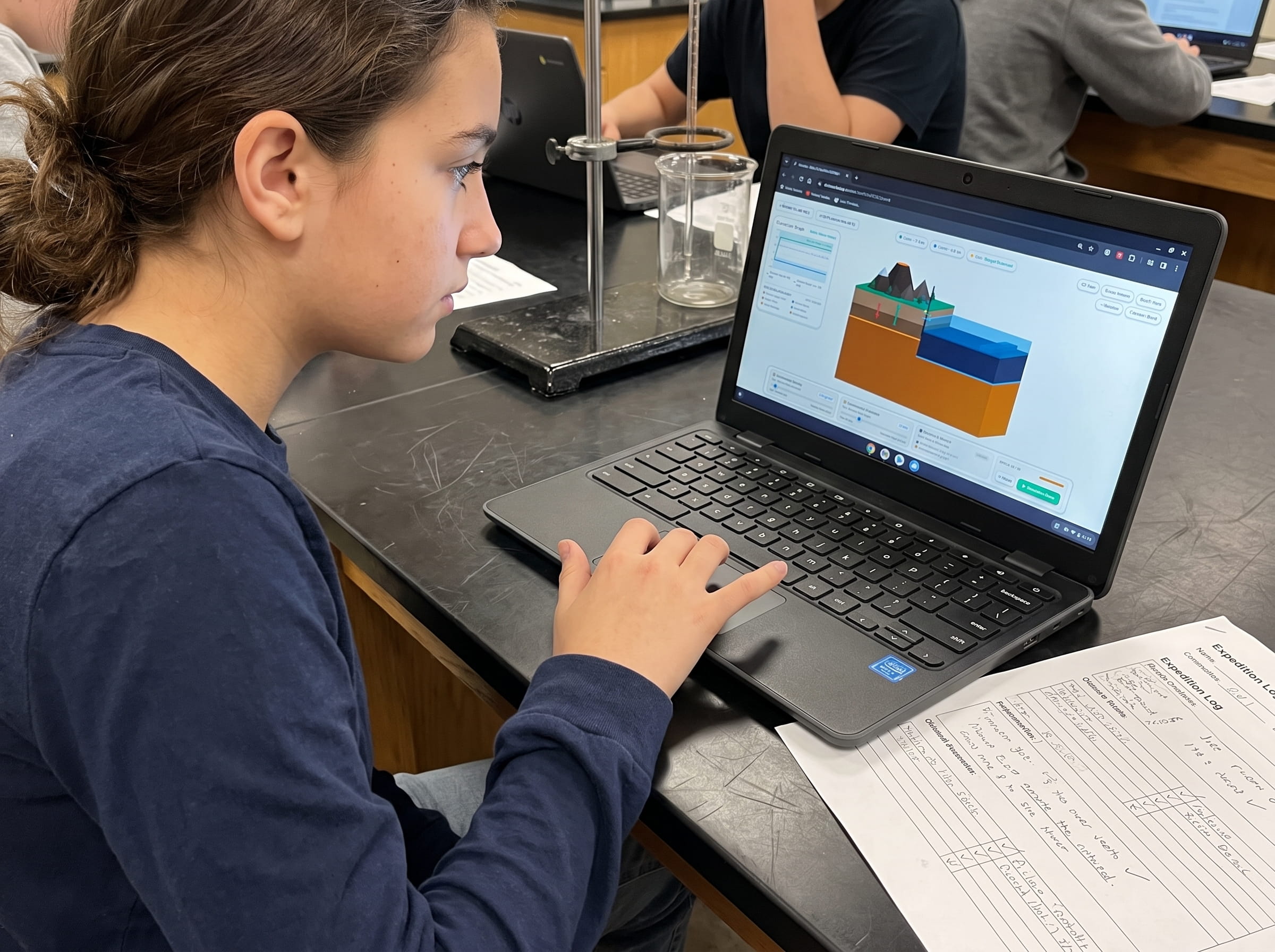
Students take command of a 16x16 diorama block representing an unformed ocean-continent boundary. Every major slider unlocked across the curriculum is now available on a master Computer-Aided Design (CAD) dashboard: plate convergence speeds, subduction slab angles, magma silica chemistry, volatile gas fractions, rainfall levels, and pioneer vegetation seed rates. The challenge is profound: can you architect a balanced, self-sustaining volcanic island biome that survives autonomously for 150 simulation epochs?
Mastery in science is not just memorizing how a single gear turns; it is orchestrating the entire machine. Level 19 tests whether students understand how deep mantle heat translates into surface topography, how rock chemistry shapes mountain slopes, and how rain transforms sterile volcanic glass into living rainforests.
The Two Opposing Engines: Constructive Volcanism vs. Destructive Denudation
Every volcanic island on Earth, from Iceland and the Galapagos to Tahiti and Hawaii, is locked in an unending war between two opposing physical engines: constructive geological forces and destructive denudation forces.
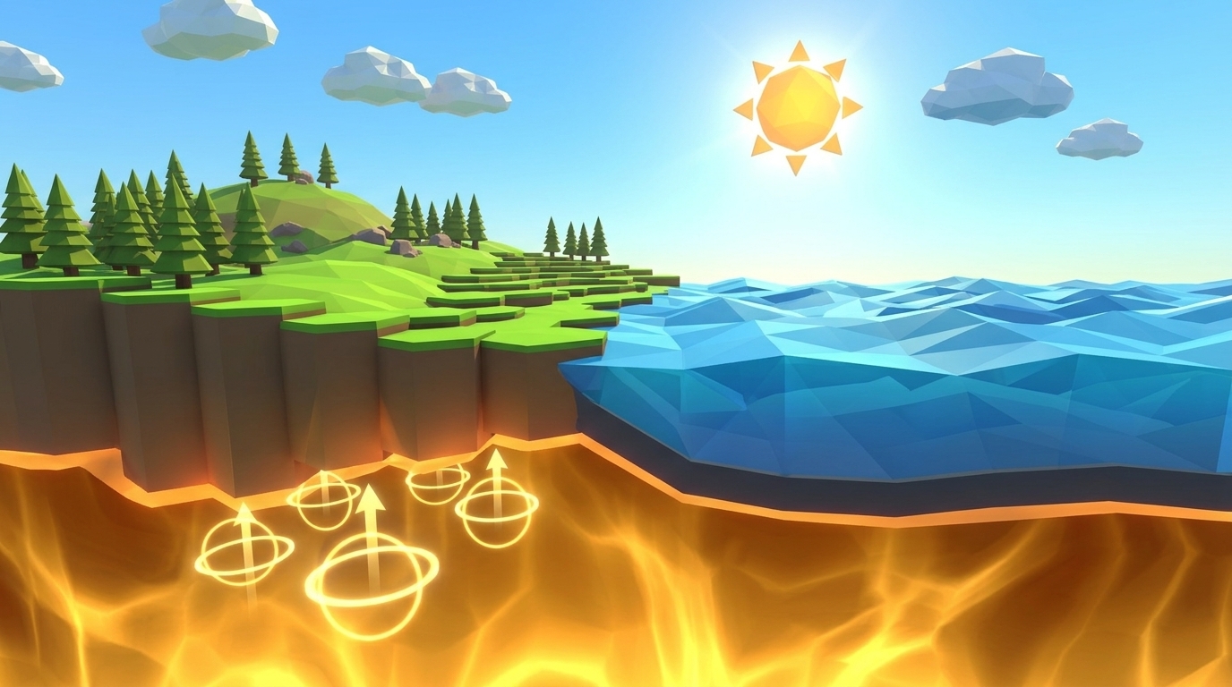
1. Constructive Forces (Building Land): Mantle convection drives lithospheric plates together, forcing water-rich oceanic crust into the asthenosphere. Flux melting generates buoyant magma diapirs that rise through crustal conduits. Basaltic lava flows, pyroclastic tephra deposits, and viscous lava domes continuously add new solid rock mass to the crust, pushing the island summit thousands of meters above sea level.
2. Destructive Forces (Tearing Land Down): The moment volcanic rock breaches the ocean surface, destructive forces attack it. Ocean waves pound coastal cliffs with hydraulic hammers, carving sheer sea cliffs. Orographic precipitation dumps acidic rainwater onto mountain peaks, cutting deep V-shaped river canyons and triggering catastrophic gravitational debris avalanches. Furthermore, as the underlying oceanic lithosphere cools and ages, its density increases, causing the entire seabed to sink through thermal isostatic subsidence.
The mathematical rate of island elevation change is expressed by the net mass-balance equation:
d(Elevation)/dt = Rate of Volcanic Construction - Rate of Fluvial Erosion - Rate of Marine Abrasion - Rate of Isostatic Subsidence
If construction outpaces destruction, the island grows into a towering alpine volcanic peak. If destruction dominates, the mountain is ground into sea stacks and dragged beneath the waves into a submerged seamount (guyot). To win Level 19, students must tune their variables so that construction and destruction achieve a stable dynamic steady-state.
| Geological Engine | Physical Driver | Key Variables Controlled | Constructive or Destructive | Impact on Island Topography | |
|---|---|---|---|---|---|
| Plate Convergence & Subduction | Mantle convection & slab pull | Plate speed (cm/yr), dip angle (°) | Constructive | Drives trench formation and continuous flux melting | |
| Magmatic Effusion & Extrusion | Buoyant ascent & conduit pressure | Magma silica (%), gas content (%) | Constructive | Builds shield flanks, cinder cones, and summit peaks | hero |
| Fluvial Precipitation & Incision | Hydrological cycle & gravity | Rainfall rate (%), terrain slope | Destructive | Carves river valleys, erodes tephra, triggers mudflows | danger |
| Marine Wave Abrasion | Ocean wave hydrodynamics | Wave energy, coastal rock hardness | Destructive | Under-cuts lava deltas, forming vertical sea cliffs | danger |
| Vegetation Root Anchoring | Primary ecological succession | Pioneer moss (%), soil development | Constructive / Protective | Reduces erosion by 65%, enriches fertile andosol soil | hero |
The Architecture of Magma: Selecting Viscosity, Volatiles, and Conduits
The physical morphology of your island depends entirely on the magma recipe you choose in the CAD control console. Students must balance three coupled parameters:
Magma Silica Content (SiO2): Low-silica basalt (50% to 52%) produces fluid, low-viscosity lava that flows across wide distances, building gentle 6-degree shield slopes like Hawaii. These broad shields are structurally stable and resist explosive collapse, but they build elevation slowly. High-silica dacite or rhyolite (66% to 72%) creates thick, pasty magma that piles up into steep, unstable volcanic domes. Intermediate andesite (54% to 58%) strikes the golden balance: viscous enough to build tall 30-degree slopes, yet fluid enough to avoid catastrophic blockages.
Dissolved Volatile Gas Content (H2O, CO2, SO2): Trapped gas provides the explosive propellant for volcanic eruptions. If gas content is too low (< 1.5%), lava oozes out sluggishly without building substantial tephra aprons. If gas content is too high (> 6.0%), sudden explosive decompression shatters the summit in violent Plinian blasts, decapitating the island and scattering its rock into fine ash that washes into the sea. The optimal sweet spot for a sustainable composite cone is 3.0% to 4.0% dissolved gas.
Magma Temperature: Higher temperatures (1,150°C to 1,200°C) lower melt viscosity and prevent premature conduit crystallization. Dropping the temperature below 1,000°C causes crystal fractions to spike past the 50% mush threshold, choking the conduit and stalling volcanic construction.
In Level 19, extreme values lead to swift failure. Setting silica to 70% and gas to 8% triggers explosive self-destruction within 20 epochs. Setting silica to 48% with zero gas creates a flat, submerged pancake. The Goldilocks recipe (54% silica, 3.5% gas, 1,120°C) constructs a majestic, stable cone that rises cleanly 3.4 kilometers above the waves.
The Island Life Cycle: From Submarine Seamount to Coral Atoll
In 1842, natural philosopher Charles Darwin published his landmark treatise on coral reefs, proposing that volcanic islands undergo an orderly, predictable evolutionary lifecycle. In Level 19, students witness Darwin's theory unfold in real time over 150 simulation epochs:
Phase 1: Youth & Rapid Emergence (Epochs 0 to 40). Deep underwater eruptions produce pillow lavas until the summit breaches sea level. Subaerial lava deltas pour into the sea, rapidly expanding the island's dry surface area and raising summit elevation to +3.5 kilometers.
Phase 2: Mature Biome & Barrier Reef Formation (Epochs 40 to 90). Constructive volcanism slows. Warm tropical ocean waters encourage colonial coral polyps to settle around the shallow perimeter, constructing a protective fringing reef. In the interior, lush rainforests take root across weathered volcanic ash, anchoring the soil against severe rainfall erosion.
Phase 3: Mid-Life Subsidence & Atoll Transition (Epochs 90 to 150). As the underlying tectonic plate cools and drifts away from the volcanic hotspot, thermal contraction causes the volcanic cone to slowly subside. While the central basaltic peak sinks downward, the encircling coral reef continues growing upward toward sunlight, leaving a wide, crystal-clear turquoise lagoon between the mountain and the outer barrier reef: the classic Bora Bora morphology.
Level 19 Simulation: Autonomous Volcanic Island CAD Sandbox
Take full command of all tectonic, magmatic, and meteorological variables. Design, simulate, and sustain a thriving, biodiverse volcanic island biome across 150 autonomous epochs.
Biome Genesis: Weathering, Soil Formation, and Ecological Succession
A pile of sterile volcanic basalt is not yet an island biome; it requires the spark of biological succession to become an enduring ecosystem. In Level 19, students control ecological parameters that directly alter the island's physical durability.
Fresh volcanic lava rock consists of vitrified volcanic glass and mineral crystals (olivine, plagioclase, pyroxene). When students introduce rainfall (optimal setting 45% to 55%), carbonic acid in the rain dissolves silicate bonds, chemically leaching vital plant macronutrients: potassium, phosphorus, calcium, and magnesium.
Next, deploying Pioneer Moss and Lichen (set to 70% to 80%) initiates primary ecological succession. These hardy pioneer organisms secrete organic acids that accelerate rock breakdown, trapping microscopic wind-blown silt and organic debris to form dark, nutrient-rich andosol soil.
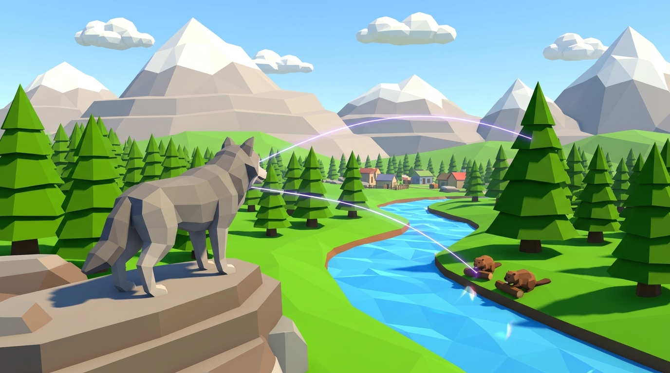
Within 40 simulation epochs, pioneer moss paves the way for coastal ferns, shrubs, and dense conifer pine forests. Thriving root networks bind the volcanic slopes together, slashing river runoff erosion by 65%. In Level 19, reaching at least 60% fertile vegetation cover is a mandatory win condition: an island without plants will quickly be stripped to bare rock and washed into the ocean abyss.
Level 19 CAD Sandbox Walkthrough & Testing Handbook
Level 19 is an open-ended computational sandbox with built-in telemetry tracking. The simulation evaluates three critical metrics across 150 autonomous ticks:
1. Island Dry Land Elevation: Must maintain summit height between +2.0 km and +4.5 km without drowning or collapsing.
2. Total Dry Land Surface Area: Must sustain at least 25 square kilometers of stable land above sea level.
3. Biodiversity & Vegetation Cover: Must achieve and maintain at least 60% lush forest and plant cover.
To test and clear Level 19, students can select one of three integrated presets or fine-tune their own custom planetological parameters:
Preset A (Balanced Island Biome): Convergence 5.0 cm/yr at 45° slab dip, 54% silica, 3.5% gas, 1,120°C temperature, 50% rainfall, and 75% pioneer moss. This is the optimal configuration, sustaining a picturesque 3.4 km mountain with 78% forest cover across all 150 epochs.
Preset B (Shield Paradise): Low-viscosity 50% basalt, high effusion rate, 60% rainfall, building a sprawling low-angle Hawaiian shield with sandy coastal deltas.
Preset C (Stratovolcano Haven): 62% silica andesite, 4.0% gas, producing a majestic snow-capped composite peak framed by deep alpine valleys.
At Epoch 75, the Mid-Life Subsidence Milestone triggers. The central volcanic vent enters dormancy, testing whether the student's established vegetation root systems and barrier coral reefs can defend the island against marine abrasion and fluvial weathering for the remaining 75 epochs.
Select Preset A or dial in 5.0 cm/yr subduction, 54% silica, 3.5% gas, 50% rain, and 75% moss. Launch the simulation and watch the diorama evolve: gentle lava fountains breach the sea, steam clouds billow, green moss spreads across dark slopes, and an autonomous, living island biome thrives peacefully for 150 ticks.
Middle School Capstone Inquiry: The Island Blueprint Patent
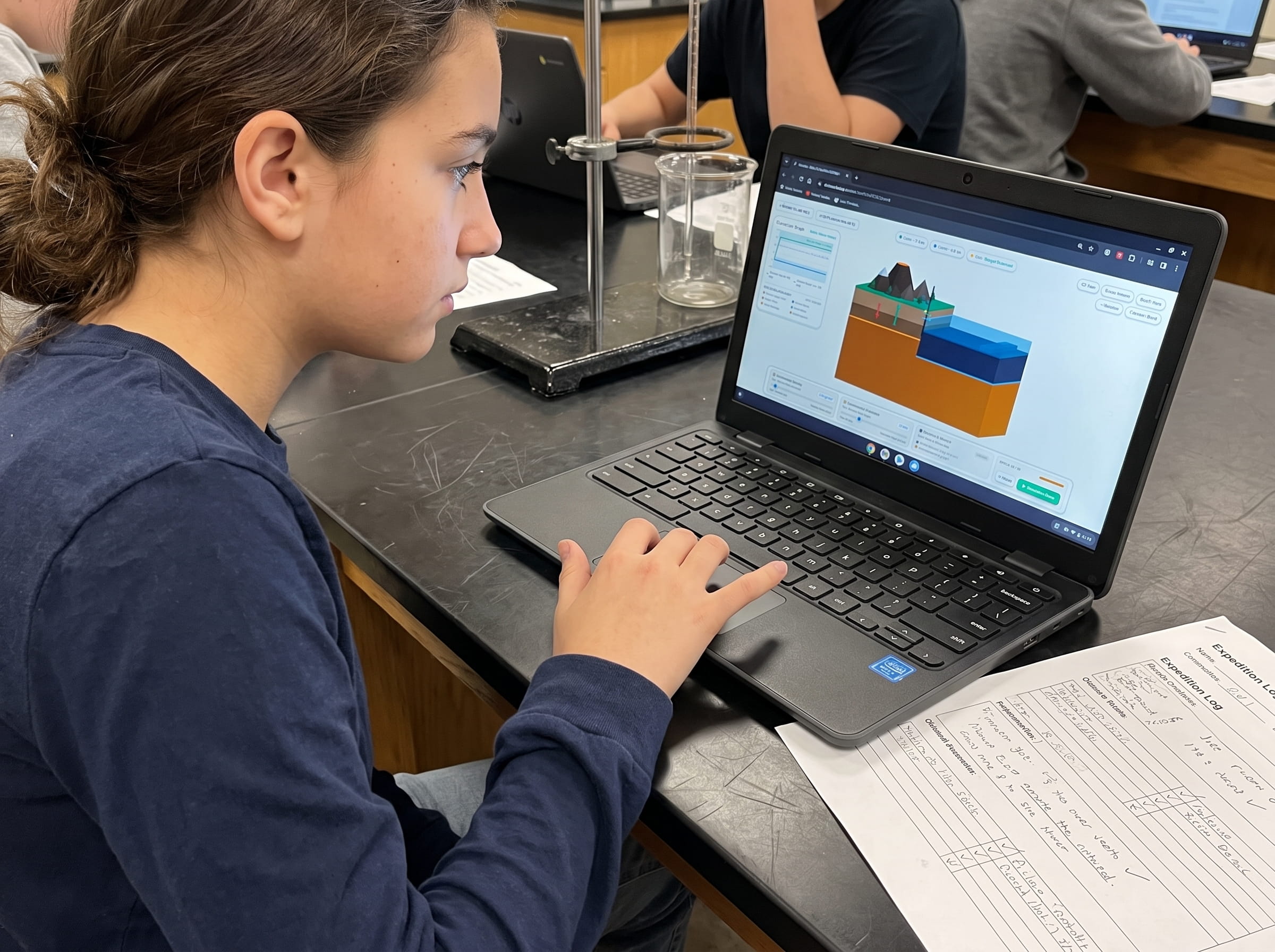
In their Field Geologist Logbook, students complete the official Level 19 Island Blueprint Patent sheet, translating their interactive design into rigorous scientific documentation:
Inquiry 1: Net Elevation Rate Calculation. If constructive volcanism adds 8 millimeters of rock per year, while fluvial erosion strips 3 mm/yr and crustal subsidence sinks 2 mm/yr, calculate the island's net annual vertical growth rate (8 - 3 - 2 = +3 mm/year). At this rate, calculate how many years are required to build a 3,000-meter mountain (3,000,000 mm / 3 mm/yr = 1,000,000 years).
Inquiry 2: The Protective Power of Forests. If bare volcanic tephra erodes at a rate of 15 mm per year under tropical rainfall, but mature pine forest cover reduces erosion by 65%, calculate the new erosion rate beneath the canopy (15 mm/yr * (1 - 0.65) = 5.25 mm/year). Explain why vegetation is a vital geological stabilizing force.
Inquiry 3: Darwin's Subsidence Velocity. A coral barrier reef grows vertically toward sunlight at a rate of 4 mm/year. If an aging volcanic island subsides at 2 mm/year, explain why the coral reef survives while the volcanic peak disappears beneath the waves, forming an atoll.
Frequently Asked Questions About Volcanic Islands and CAD Sandboxes
Review key questions and scientific principles regarding volcanic island synthesis, tectonic modeling, and ecological stabilization below:
Why do some volcanic islands sink back into the ocean while others endure?
What is the difference between a high island and a low island?
Can you create an island without a subduction zone?
How does Level 19 lead into the grand finale of Level 20 (Save Real World)?
Related Earth Science Units & Simulation Lab Resources
Continue your middle school Earth and Space science journey with these companion simulation guides:
Review crustal buoyancy in our crustal buoyancy isostasy simulation Level 1 guide.
Explore deep thermal circulation in our mantle convection tectonics simulation Level 2 guide.
Discover seafloor spreading in our seafloor spreading divergent boundary simulation Level 3 lab.
Investigate subduction abysses in our subduction zones deep trench simulation Level 4 article.
Explore subterranean magma generation in our flux melting magma chamber simulation Level 5 guide.
Study effusive basalt rivers in our shield volcano basaltic lava simulation Level 6 lab.
Examine viscous composite cones in our composite volcano silica viscosity simulation Level 7 guide.
Model supersonic gas decompression in our volcanic eruption plume gas simulation Level 8 guide.
Examine caldera collapses in our caldera collapse crater lake simulation Level 9 lab.
Explore mantle plumes in our hotspot island chain mantle plume simulation Level 10 guide.
Investigate locked transform faults in our locked fault elastic rebound simulation Level 11 guide.
Triangulate earthquake epicenters in our earthquake seismic waves triangulation simulation Level 12 guide.
Analyze open-ocean tsunami shoaling in our megathrust tsunami subduction simulation Level 13 guide.
Master circum-Pacific convergence networks in our ring of fire subduction arc simulation Level 14 guide.
Study primary ecological succession in our volcanic soil succession ash simulation Level 15 guide.
Model stratospheric sulfur aerosols in our volcanic winter sulfur aerosols simulation Level 16 guide.
Deploy sensor grids and forecast eruptions in our volcano monitoring early warning simulation Level 17 guide.
Manage colossal continental reservoirs in our supervolcano magma chamber caldera simulation Level 18 guide.
Review complete homeschool science options in our earth science homeschool curriculum guide.
Set up student accounts with zero student logins on our educator dashboard.
24 pages of printable isostatic buoyancy calculation tables, paleomagnetic zebra stripe rulers, and seismogram triangulation exercises designed for grades 3 to 8.
DOWNLOAD EXPEDITION LOGBOOK (PDF)Download Free Volcano Island Field Geologist Logbook (PDF)
24 pages of printable isostatic buoyancy calculation tables, paleomagnetic zebra stripe rulers, and seismogram triangulation exercises designed for grades 3 to 8.